0.6 miles
Loop
Easy
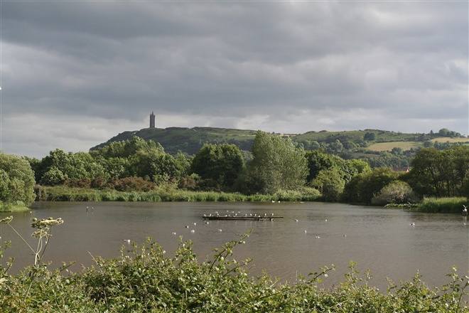
Kiltonga Nature Reserve
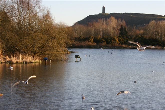
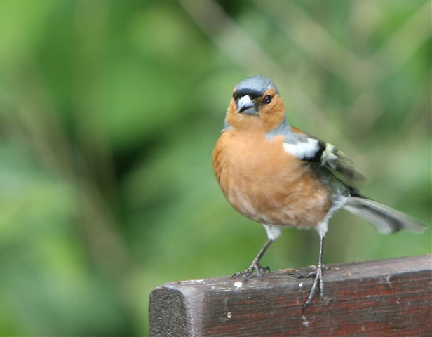
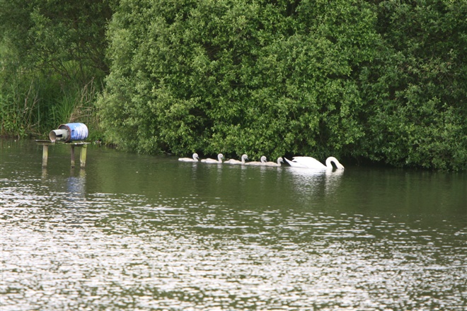
A pathway along the lake allows for closer inspection of the birds. For example, swans, mallards, little grebe, moorhens, and coots are usually present. There is an observation area to view the birds and other wildlife. Parking is available. In July 2000, Kiltonga Nature Reserve became the first site in the UK to be awarded BT Millennium Miles status.
TRAIL INFORMATION
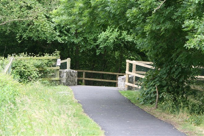
The tarmac pathway leads the walker around the lake.
TRAIL INFORMATION
The tarmac pathway leads the walker around the lake.
GETTING TO THE START
- Point of Interest A variety of bird-life on and around the lake, duck shaped map
- Facilities Toilets and refreshements are available in Newtownards. The following facilities are available for users with limited mobility: – Disabled parking
- Dog Policy Dogs must be kept under close control
- Accessibility Information
Accessibility Grade: Grade 2 Terrain: A pathway around the lake Toilet Facility: No Signage: No - Getting to the Start Located half-a-mile from Newtownards town centre on the Belfast Road. Car parking at the lay-by beside the nature reserve.
- Public Transport Translink – journeyplanner.translink.co.uk
- Level of Difficulty
 Easy TRAIL GRADE DISCLAIMER
 The trail grades shown on OutmoreNI.com and WalkNI.com are based on desk-based assessments of available trail information. The categories—Easy, Moderate, Strenuous, and Very Strenuous—follow the Sustainable Trails Development Guide grading system.
These grades are provided as a general guide to help users choose trails that may be suitable for them. They are not a substitute for official, on-site grading or safety information provided by the relevant land manager, which may differ from the information on these websites.
Outdoor activities involve inherent risks, including the risk of injury, death, property damage, and other hazards. By using information from OutmoreNI.com and WalkNI.com, you acknowledge that you do so at your own risk. OutmoreNI.com and WalkNI.com accept no responsibility or liability for any loss, injury, or damage arising from the use of this information.
Conditions on trails can change, and the actual environment may differ from what is described online. Users should always exercise their own judgment, take appropriate precautions, and remain responsible for their own safety and conduct at all times.
All information provided on OutmoreNI.com and WalkNI.com is intended as a guide only and should be used alongside your own experience, awareness, and careful decision-making.
Relatively flat or gently rolling trails with a mostly smooth surface. You might come across some obstacles like bridges, gates and steps.
Normal clothing and footwear can be worn.