21.3 miles
Loop
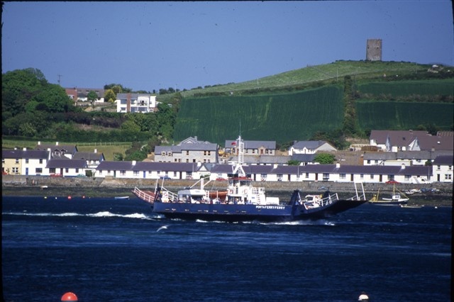
Portaferry
This circular route links the tranquil shores of Strangford Lough with the sometimes exhilarating beaches of the Irish Sea with views of the Isle of Man on a clear day.
TRAIL INFORMATION
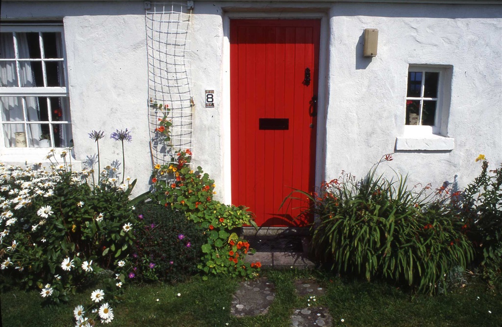
Starting in Portaferry town centre, the route follows the shoreline north of Portaferry, turning inland towards Kirkistown and reaching the Irish Sea at Cloughey with its expansive beach. Keeping the sea on your left you will arrive after a short detour at the National Trust village of Kearney with its beautifully preserved collection of white washed cottages and houses. You then continue towards the southernmost point of the peninsula, Ballyquintin Point before returning to Portaferry close to the Narrows where spectacular tidal races can be seen twice a day. The quiet roads on the southern end of the Peninsula are ideal for a carefree cycle with minimum disruption from vehicles, whilst the many sandy beaches are ideal for a picnic by the sea. A regular ferry service (bikes are carried free) links to the village of Strangford on the other side of the Lough.
TRAIL INFORMATION
Starting in Portaferry town centre, the route follows the shoreline north of Portaferry, turning inland towards Kirkistown and reaching the Irish Sea at Cloughey with its expansive beach. Keeping the sea on your left you will arrive after a short detour at the National Trust village of Kearney with its beautifully preserved collection of white washed cottages and houses. You then continue towards the southernmost point of the peninsula, Ballyquintin Point before returning to Portaferry close to the Narrows where spectacular tidal races can be seen twice a day. The quiet roads on the southern end of the Peninsula are ideal for a carefree cycle with minimum disruption from vehicles, whilst the many sandy beaches are ideal for a picnic by the sea. A regular ferry service (bikes are carried free) links to the village of Strangford on the other side of the Lough.
GETTING TO THE START
This Portaferry cycling route links into the proposed NCN 99 covering Strangford Lough. Portaferry can be accessed by public transport from Newtownards, Belfast and other towns. For further timetable information visit www.translink.co.uk. Bikes can be hired from Mike the Bike Cycle Hire, 53 Frances Street, Newtownards T: 028 9181 1311. Parking is available in Portaferry town centre where the route begins. Portaferry is located on the A20 from Newtownards, or via the Strangford Ferry from Downpatrick and the A25. Ferry times are available from http://www.roadsni.gov.uk/index/strangfordferry.htm Parking is available in Portaferry at Meeting House Street, The Square and also at Exploris Aquarium. Disabled access spaces are also available.
- Facilities Public toilets and refreshment facilities are available in Portaferry and Cloughey. The Warren, located on the Portaferry to Cloughey Road offers picnic table facilities in addition to an impromptu picnic on one of the beaches on the route.
- Getting to the Start This Portaferry cycling route links into the proposed NCN 99 covering Strangford Lough. Portaferry can be accessed by public transport from Newtownards, Belfast and other towns. For further timetable information visit www.translink.co.uk. Bikes can be hired from Mike the Bike Cycle Hire, 53 Frances Street, Newtownards T: 028 9181 1311. Parking is available in Portaferry town centre where the route begins. Portaferry is located on the A20 from Newtownards, or via the Strangford Ferry from Downpatrick and the A25. Ferry times are available from http://www.roadsni.gov.uk/index/strangfordferry.htm Parking is available in Portaferry at Meeting House Street, The Square and also at Exploris Aquarium. Disabled access spaces are also available.
- Traffic Information Whist the roads at the southern end of the Ards Peninsula are generally quiet, attention must be paid to other road users whilst cycling as this route is based on public roads.
- Accessible Facilities Please contact The Bike Dock, 79-85 Ravenshill Road, Belfast T: 028 9073 0600 or Mike the Bike, 53 Frances Street, Newtownards T: 028 9181 1311 for information on accessible bikes and trikes.