29 miles
Loop
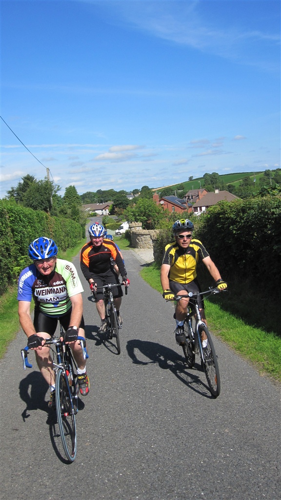
A County Down Tour
A hilly ride through drumlin country to the SE of Lisburn which passes lakes and loughs with great views of the Mourne Mountains, Belfast Hills and the Lagan Valley.
TRAIL INFORMATION
TRAIL INFORMATION
Leaving Lisburn on the towpath, turn left at Blaris Road then the ride crosses the A1 into the Ravernet Road towards Ravernet. At the first crossroads turn left and continue on Green Road to Legacurry crossroads by the church. Turn right at the crossroads then keep left into Cabra Road climbing up to another crossroads with Windmill Road. Continue straight into New Road and at a T junction turn right then take the first left. At the first crossroads turn right and continue to the B77, Ballynahinch Road. Take care turning left and immediately right into Loughaghery Road. At the next T junction turn right and at the next T turn left. Take the first left into Lakeland Road then keep left into Cluntagh Road and in approx. 1 mile, at the bottom of a short hill, turn left into Ballykine Road. Continue to a crossroads and turn left. Pass through three crossroads (stopping at each) and continue to a T junction with the A49 Turn left and in approx. half a mile turn right, just before an old schoolhouse, into Creevytenant Road. Take the first left and continue to a crossroads. Turn right onto Lough Road and after approx. 2 miles at a crossroads turn left onto Bresagh Road. At the next T junction turn right then at the next T turn left at Boardmills. In approx. half a mile keep right at a Y junction into Gannon Road then reach the B9, Saintfield Road. Turn left then take care before turning right in a quarter of a mile into Ballycarngannon Road. Continue on this road to reach the B178. Turn right then immediately left then keep left into Back Road. Continue uphill then descend into Drumbo Village. At Drumbo turn left and keep left immediately into Drumbo Road and at the next T junction turn left onto Tullyard Road. Climb up the hill then after a short descent turn right into Glen Road and continue downhill onto the B23. Turn right then take the first left into Carson’s Lane. Follow this narrow road then pass over the motorway and reach Tullynacross. Turn left into Bridge Street and after approx. half a mile turn left to join the Lagan Towpath and return to the Civic Centre. NOTE if travelled in the reverse direction the hills are much steeper
GETTING TO THE START
Follow NCN Route 9 from Lisburn or Moira. Lisburn railway station is approx. 1mile away. If travelling by car follow signs for the Civic Centre. Ample car parking at the Civic Centre or nearby metered car parks.
- Facilities Restaurant in the Civic Centre and numerous cafés close by in Lisburn City centre. Several bike shops in Lisburn
- Getting to the Start Follow NCN Route 9 from Lisburn or Moira. Lisburn railway station is approx. 1mile away. If travelling by car follow signs for the Civic Centre. Ample car parking at the Civic Centre or nearby metered car parks.
- Traffic Information Mainly light traffic throughout except crossing the A1 at Sprucefield Fast moving traffic at times on the short stretches of the A49 and B9
- Accessible Facilities Suitable for tandems; hand cranks etc.