5.2 miles
Linear
Antrim to Randalstown
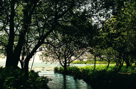
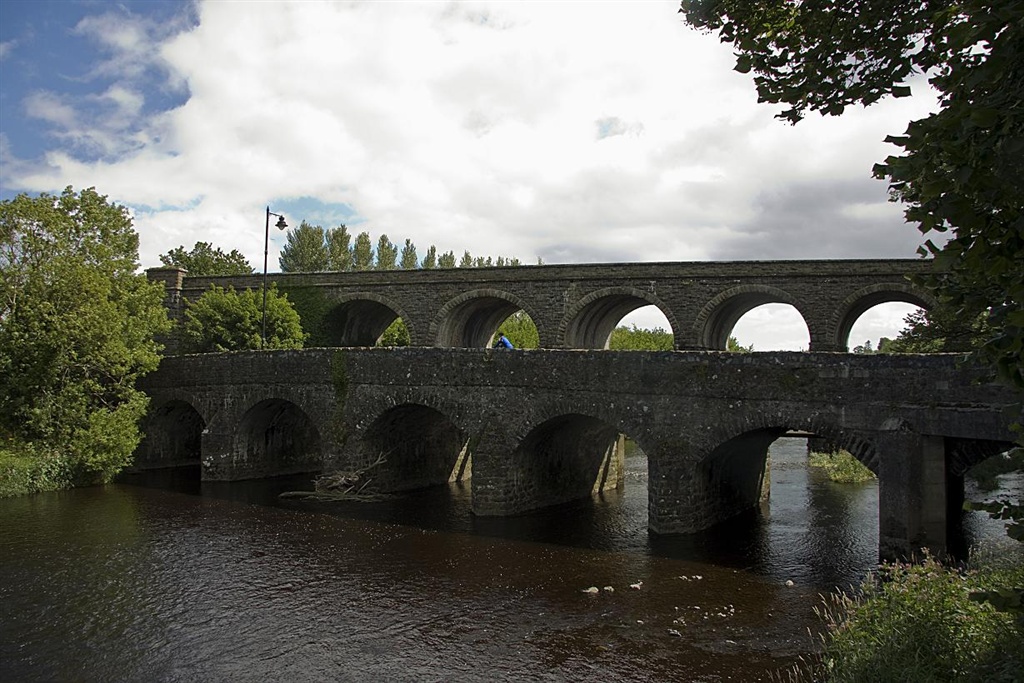
This route takes in a small section of the Loughshore Trail (NCN Route 94) from Antrim to Randalstown with views of a spectacular railway viaduct, the River Maine and the ajoining parklands of Shanes Castle.
TRAIL INFORMATION
Starting at the Lough Shore Park in Antrim, this section of the Loughshore Trail follows alongside the Six Mile Water river, before heading across the old stone Deerpark Bridge, then west through the beautifully kept grounds of Clotworthy House. Turn left at the junction with the Randalstown Road, and follow this route into Randalstown. As you apprach the town, the route takes you past a spectacular Railway viaduct over the River Maine and into the town centre.
For more detailed information on this route, please contact Antrim Tourist Information Centre on 028 94428331.
Also consult the Loughshore Trail leaflet produced by the Lough Neagh Partnership. See Publications.
GETTING TO THE START
This route is on the 113 mile Loughshore Trail. This route is also on Route 93 of National Cycle Network. By Car: Take the Antrim Road north out of Belfast to Templepatrick. Turn left at the Roundabout and then right on the A6 towards Dunadry. This road leads all the way into the centre of Antrim Town. As you approach the centre, follow the signs down to the Lough Shore Park, where you can park up.
- Facilities Toilets and refreshments are available in both towns of Antrim and Randalstown.
- Getting to the Start This route is on the 113 mile Loughshore Trail. This route is also on Route 93 of National Cycle Network. By Car: Take the Antrim Road north out of Belfast to Templepatrick. Turn left at the Roundabout and then right on the A6 towards Dunadry. This road leads all the way into the centre of Antrim Town. As you approach the centre, follow the signs down to the Lough Shore Park, where you can park up.
- Traffic Information Traffic can get busy around the town centres at peak times. Route tends to stick to quieter minor roads.
- Bike Hire Providers Ireland Ecotours Tiranagher Belleek Co.Fermanagh Email: info@irelandecotours.com Phone: 028 686 59171 Mob: 07592208716 http://www.irelandecotours.com
- Accessible Facilities Route is on well maintained paths and minor roads. Relatively flat. For more information on disablility access contact Antrim Tourist Information Centre on 028 94428331