1.5 miles
Loop
Moderate
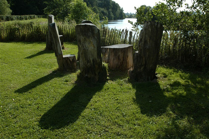
Argory Blackwater River Walk
Follow the River Blackwater around the estate and cross the industrial age-Bond’s Bridge.
TRAIL INFORMATION
From the carpark follow the sign for Bond's bridge / ferry path. This starts at the bottom of the carpark. At the end of the path there is a set of large steps. At the top of the steps turn left and go through the kissing gate onto the river bank. Follow the path along the river and keep an eye out for fluttering kingfishers. They lazily fly over water and swoop down to spear fish with their sharp beaks. As the path comes to an end along the river turn left onto the causeway which runs between the meadows. At the end of the causeway you will approach Meadow Cottage. Turn left again and follow the avenue back to the carpark.
GETTING TO THE START
- Point of Interest Herons and Kingfishers are frequently seen the area
- Facilities Tea room, toilet facilities, picnic area and playground Please see the National Trust NI Website for updated opening times. The following facilities are available for users with limited mobility: – Café (wheelchair accessible) – Disabled toilets.
- Dog Policy Dogs must be kept on leads except in our specially fenced off dog exercise area
- Accessibility Information
Accessibility Grade: Grade 3 Terrain: Variety of surfaces Toilet Facility: No Signage: No - Getting to the Start The Argory lies 4 miles from Charlemont. Drivers can leave the M1 at exit 13 and follow the brown signs.
- Public Transport Translink – journeyplanner.translink.co.uk
- Level of Difficulty
 Moderate TRAIL GRADE DISCLAIMER
 The trail grades shown on OutmoreNI.com and WalkNI.com are based on desk-based assessments of available trail information. The categories—Easy, Moderate, Strenuous, and Very Strenuous—follow the Sustainable Trails Development Guide grading system.
These grades are provided as a general guide to help users choose trails that may be suitable for them. They are not a substitute for official, on-site grading or safety information provided by the relevant land manager, which may differ from the information on these websites.
Outdoor activities involve inherent risks, including the risk of injury, death, property damage, and other hazards. By using information from OutmoreNI.com and WalkNI.com, you acknowledge that you do so at your own risk. OutmoreNI.com and WalkNI.com accept no responsibility or liability for any loss, injury, or damage arising from the use of this information.
Conditions on trails can change, and the actual environment may differ from what is described online. Users should always exercise their own judgment, take appropriate precautions, and remain responsible for their own safety and conduct at all times.
All information provided on OutmoreNI.com and WalkNI.com is intended as a guide only and should be used alongside your own experience, awareness, and careful decision-making.
Moderately challenging trails of varying widths with some short, steep climbs and descents. The surface may vary throughout, be slippery and uneven in places. Expect there to be obstacles like exposed roots, narrow gates, stiles and long sets of steps.
Outdoor clothing and sturdy footwear are recommended.