0.3 miles
Loop
Easy
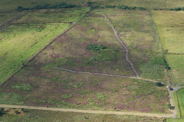
Ballygroll Prehistoric Complex
On the slope of the hill are scattered at least 12 small round cairns and 6 stone circles. Now under state care, there are paths to the main monuments, wedge-tombs and a court-tomb with a V-shaped forecourt.
TRAIL INFORMATION
Proceed along the farm lane. Paths lead around the main monuments. Return via the farm lane.
TRAIL INFORMATION
Proceed along the farm lane. Paths lead around the main monuments. Return via the farm lane.
GETTING TO THE START
Signposted from Ervey Rd, accessed off A6. Approachable via a farm lane.
- Point of Interest Cairns, stone circles, tombs
- Facilities None
- Getting to the Start Signposted from Ervey Rd, accessed off A6. Approachable via a farm lane.
- Public Transport Translink – journeyplanner.translink.co.uk
- Level of Difficulty
 Easy
EasyRelatively flat or gently rolling trails with a mostly smooth surface. You might come across some obstacles like bridges, gates and steps.
Normal clothing and footwear can be worn.