25.4 miles
Loop
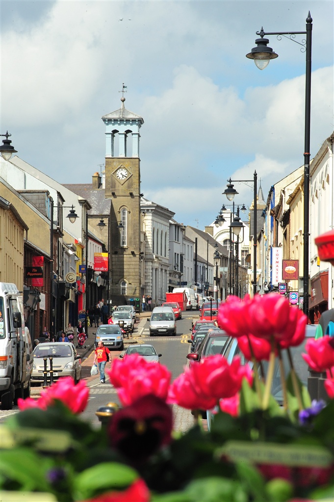
Ballymoney Cycle Route
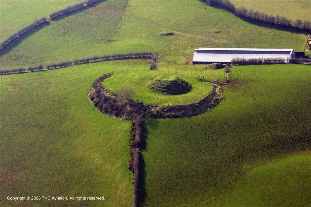
Using mainly country lanes and quiet roads, the cycle route is best travelled in an anti-clockwise direction to make the most of the picturesque views of the surrounding countryside.The area has a variety of raths, mottes and standing stones and includes the beautiful Lissanoure Castle Estate. There are also fine views of the Maine and Bush River Valleys.
TRAIL INFORMATION
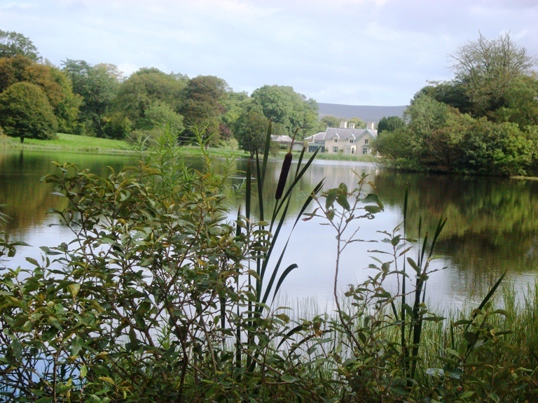
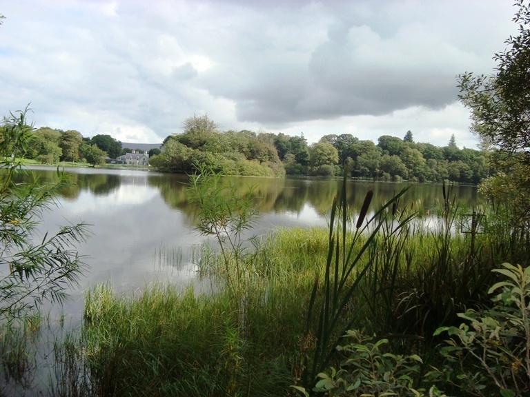
Starting in Ballymoney town at the car park at the bottom of Main Street (Xtravision),turn left up Seymour Street to the traffic lights. Make a right turn along Meetinghouse Street and continue to the small roundabout at Trinity Church. At this roundabout take the third exit along Rodeing Foot and continue to the next roundabout past Trolans Garage (Supervalu). Here take the first exit on the left and follow Kilraughts Road to the large roundabout on the A26. Take the second exit straight ahead with some care. Continue along the Kilraughts Road taking a right onto Boylands Road. Take a left onto Glenlough Road and at its junction with the Tummock Road turn right. Take the next left onto Craigatempin Road and follow this to its junction with the Lisboy Road. Turn right and follow the Lisboy Road to its junction with Pinehill Road. Turn left into Pinehill Road and follow to its junction with the Moyan Road. Here turn right again and then next left onto the Knockahollet Road. Follow this road past the lake of Lissanoure Estate on your left and continue until it meets the Ballyveely Road and turn left. Follow this to the Lough Road and turn right up towards the village of Loughguille. Turn left at the chapel onto Coolkeeran Road then right onto Shelton Road. Follow this open scenic route until it comes out at the Altnahinch Road then turn left and left again to rejoin the Coolkeeran Road once more.Turn right and first left to pick up the Fivey Road and follow this its full distance into Stranocum Village. In the village make a left turn onto the Kirk Road. Continue ahead taking the next left at Topp Road and the next right at Culramoney Road. Continue straight along and through the crossroads onto Farran Road and rejoin the Kirk Road. Make a left turn back to the main A26. Cross the staggered junction at the end of the Kirk Road with care and continue into town via the Newal Road passing the Robinson Hospital on your left. This will return you to the small roundabout at Trinity Church which you go straight through along meetinghouse Street and back to the car park on your left.
TRAIL INFORMATION
Starting in Ballymoney town at the car park at the bottom of Main Street (Xtravision),turn left up Seymour Street to the traffic lights. Make a right turn along Meetinghouse Street and continue to the small roundabout at Trinity Church. At this roundabout take the third exit along Rodeing Foot and continue to the next roundabout past Trolans Garage (Supervalu). Here take the first exit on the left and follow Kilraughts Road to the large roundabout on the A26. Take the second exit straight ahead with some care. Continue along the Kilraughts Road taking a right onto Boylands Road. Take a left onto Glenlough Road and at its junction with the Tummock Road turn right. Take the next left onto Craigatempin Road and follow this to its junction with the Lisboy Road. Turn right and follow the Lisboy Road to its junction with Pinehill Road. Turn left into Pinehill Road and follow to its junction with the Moyan Road. Here turn right again and then next left onto the Knockahollet Road. Follow this road past the lake of Lissanoure Estate on your left and continue until it meets the Ballyveely Road and turn left. Follow this to the Lough Road and turn right up towards the village of Loughguille. Turn left at the chapel onto Coolkeeran Road then right onto Shelton Road. Follow this open scenic route until it comes out at the Altnahinch Road then turn left and left again to rejoin the Coolkeeran Road once more.Turn right and first left to pick up the Fivey Road and follow this its full distance into Stranocum Village. In the village make a left turn onto the Kirk Road. Continue ahead taking the next left at Topp Road and the next right at Culramoney Road. Continue straight along and through the crossroads onto Farran Road and rejoin the Kirk Road. Make a left turn back to the main A26. Cross the staggered junction at the end of the Kirk Road with care and continue into town via the Newal Road passing the Robinson Hospital on your left. This will return you to the small roundabout at Trinity Church which you go straight through along meetinghouse Street and back to the car park on your left.
GETTING TO THE START
Follow the A26 to Ballymoney taking the town exit at the Kilraughts Road roundabout B16. Continue along the Kilraughts Road to the small roundabout and take the third exit onto Rodeing Foot. Proceed to the next small roundabout at trinity Church and take the first exit left onto Meetinghouse Street. Proceed until the traffic lights making a left turn at the lights onto Seymour Street. Take the first right into the free car park at Xtravision.
- Facilities The car park is suitable for disabled parking and there are ramps from the car park to the bottom of Main Street. If you proceed a short distance up main Street, Castle croft is on your left and the public toilets are located close by. There are also toilets at Tesco.
- Getting to the Start Follow the A26 to Ballymoney taking the town exit at the Kilraughts Road roundabout B16. Continue along the Kilraughts Road to the small roundabout and take the third exit onto Rodeing Foot. Proceed to the next small roundabout at trinity Church and take the first exit left onto Meetinghouse Street. Proceed until the traffic lights making a left turn at the lights onto Seymour Street. Take the first right into the free car park at Xtravision.
- Traffic Information This cycle route in the main uses quiet country roads where agricultural traffic will be encountered. However, starting in Ballymoney town the route begins by crossing the main A26 Frocess Road By-pass and there are short sections along the B16 Kilraughts
- Bike Hire Providers Iron Donkey Bicycle Touring Iron Donkey Bicycle Touring 15 Ballyknockan Rd Saintfield Email: info@irondonkey.com Phone: 028 9081 3200 http://www.irondonkey.com
- Accessible Facilities As this route is all on public road there are no major physical aspects to overcome.