1.9 miles
Loop
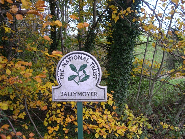
Ballymoyer Woodland
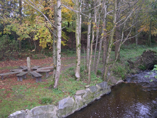
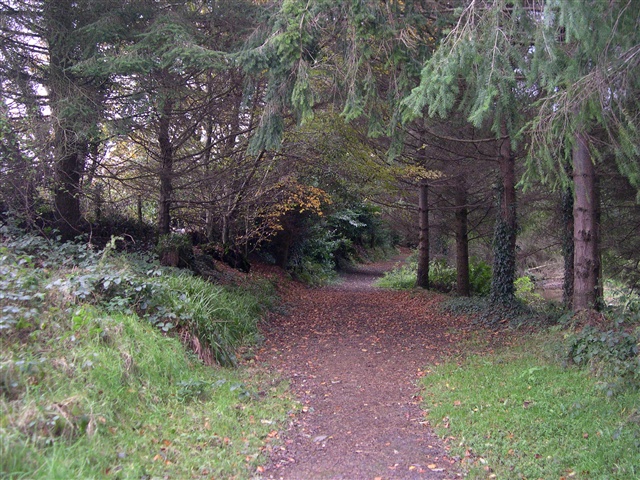
The route leaves from the car park at the Junction of Ballymoyer Road and Drumcrow Road. It initially follows the Creggan River and then winds it way through the mixed woodland of a fairy glen with deep mossy and ferned banks before returning back to the starting point
TRAIL INFORMATION
Start at the carpark at the junction of Ballymoyer Road and Drumcrow Road. Follow the path through the gate alongside the Creggan River until it joins the Ballymoyer Road. Follow the trail and waymarkers on the opposite side to the viewpoint and through the looped top section that traverses the steep glen. From the viewpoint cross the road again and return via the Creggan River path to the starting point.
GETTING TO THE START
- Point of Interest Diverse woodland and specimen trees
- Facilities Car parking at the start of the walk. Refreshments, shops and toilets in Whitecross.
- Accessibility Information
Accessibility Grade: Grade 5 Terrain: Off road woodland trail Toilet Facility: No Signage: No - Getting to the Start Access from Ballymoyer Road between Whitecross and Newtownhamilton
- Public Transport Translink – journeyplanner.translink.co.uk