1.6 miles
Loop
Barnett Demesne
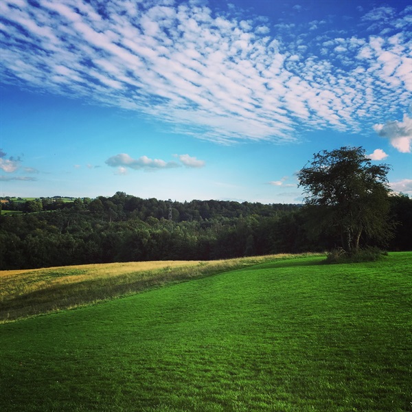
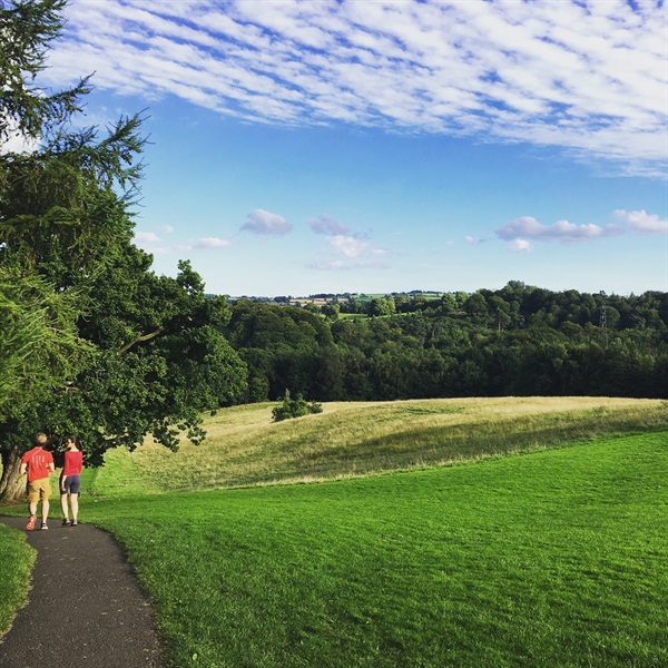
This route explores an historic estate in Lagan Valley Regional Park, taking in Malone House, meadows, woodland and along the River Lagan.
TRAIL INFORMATION
TRAIL INFORMATION
From the Malone House car park, follow the path round the front of the house and alongside the security fence.
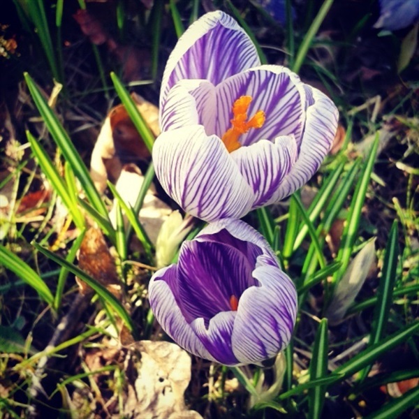
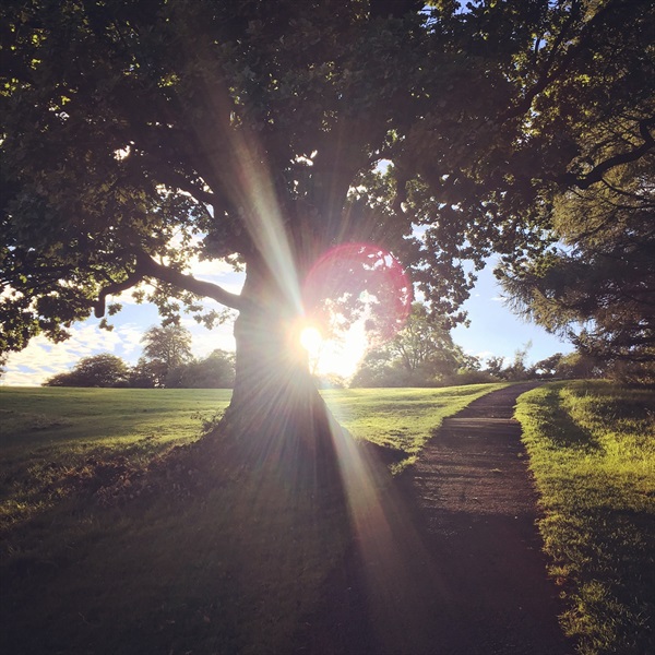
Follow this path downhill pausing on the way to admire the views over the Lagan Valley, across to Minnowburn Beeches and the wildflower meadows on your right. At the bottom of the hill turn right along the towpath, taking time to admire the old Shaw’s Bridge.
Follow the towpath for a distance as it winds alongside the river. When you reach a green, disused kissing gate, pass through, then turn right through a gap in the vegetation back into the woodland of Barnett Demesne. This section can be muddy during wetter times of the year and if the River Lagan has recently been in flood. At the next junction keep right and continue along the path. Take the next path that turns left uphill.
Climb up the hill, past the edge of the open meadows on your right. At the top of the hill turn right which leads you past the yew walk. After a short distance take the next path left, which leads you back to Malone House car park.
GETTING TO THE START
- Point of Interest Malone House, meadows, Lagan towpath, Arboretum
- Facilities Malone House - cafe, toilets and information. Opening hours apply. The following facilities are available for users with limited mobility: – Café (wheelchair accessible) – 9am – 5pm Mon – Sat, 11am – 5pm Sun – Disabled toilets – Disabled parking.
- Accessibility Information
Accessibility Grade: Grade 4 Terrain: Surfaced and unsurfaced paths Toilet Facility: No Signage: No - Getting to the Start Car park and entrance signposted from the A55 Outer Ring Road, near the House of Sport roundabout.
- Public Transport Translink – journeyplanner.translink.co.uk