7.1 miles
Linear
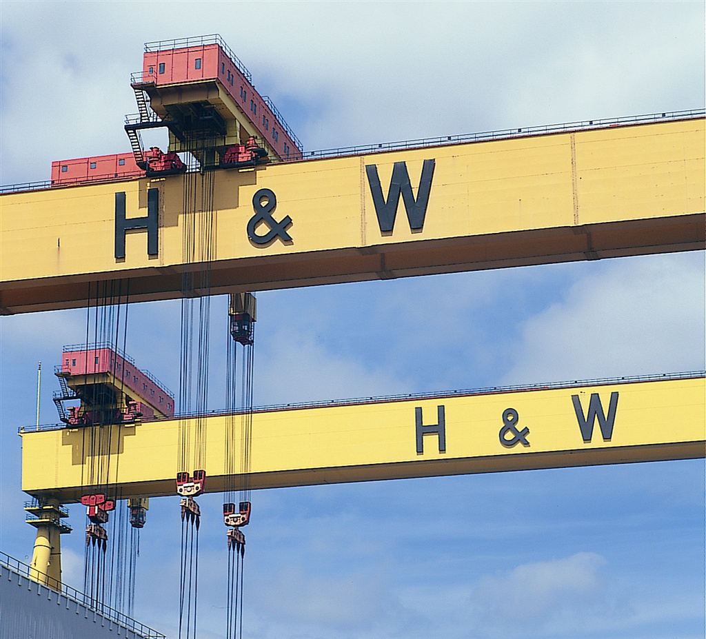
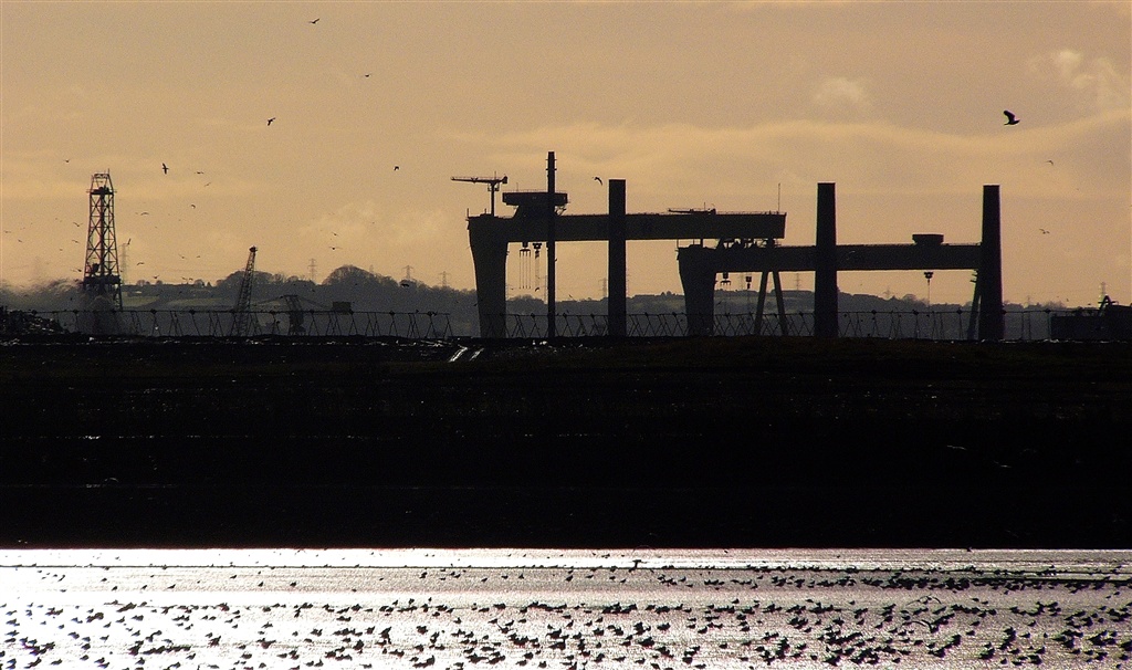
Belfast Lough
A flat section of National Cycle Network along the shoreline of Belfast Lough taking in views of a truely historic shipyard.
TRAIL INFORMATION
After starting at Whiteabbey use the coastal walking and cycling path from Coastguard Cottages, calling at the pleasant Hazelbank Park.
The route then runs on a path parallel to the motorway where you can observe the birds of Belfast Lough from special bird watching hides. The cycle lanes take you through Duncrue Industrial Estate and onto Clarendon Dock where new businesses thrive alongside the old dry docks, where ships were once repaired. On arrival in Belfast, visit the Lagan Weir and learn about the history of the river Lagan and the Titanic. Return north along the same route or take the train to Whiteabbey.
This is a flat, coastal route with well surfaced purpose built cycle paths.
GETTING TO THE START
Translink runs a regular train service from Belfast central station to Whiteabbey. More inform ation can be found on www.translink.co.uk. Whiteabbey is situated on the National Cycle Network Route 93. By car: Leave Belfast on the M2 North and continue straight joining the M5 towards Carrickfergus. This Motorway soon ends and becomes the A2 as you enter Whiteabbey. The National Cycle Network paths will be on the right by the coastline.
- Facilities Refreshments and toilet facilities available along route. Shops and cafes also along route.
- Getting to the Start Translink runs a regular train service from Belfast central station to Whiteabbey. More inform ation can be found on www.translink.co.uk. Whiteabbey is situated on the National Cycle Network Route 93. By car: Leave Belfast on the M2 North and continue straight joining the M5 towards Carrickfergus. This Motorway soon ends and becomes the A2 as you enter Whiteabbey. The National Cycle Network paths will be on the right by the coastline.
- Traffic Information Traffic-free cycle paths
- Bike Hire Providers Ireland Ecotours Tiranagher Belleek Co.Fermanagh Email: info@irelandecotours.com Phone: 028 686 59171 Mob: 07592208716 http://www.irelandecotours.com Bryson LaganSports 2 Rivers Edge 13 - 15 Ravenhill Road Belfast Email: info@brysonlagansports.org Phone: +44(0)28 9046 1711 http://www.brysonlagansports.org
- Accessible Facilities This route is along flat, purpose built cycle paths. For more information contact Belfast City Welcome Centre on: 028 9024 6609