0.8 miles
Loop
Belmont Park
A circular route through a semi-wild space in east Belfast.
It includes a network of paths which lead through grassland, wildflower meadows and copses of bluebells and trees.
TRAIL INFORMATION
Starting at the car park off circular road, follow the path past the playground. Turn either left or right to take the route around the park. There are 2 bridges (1 for pedestrain use only, the other shared with vehicular access) over Parkway Road.
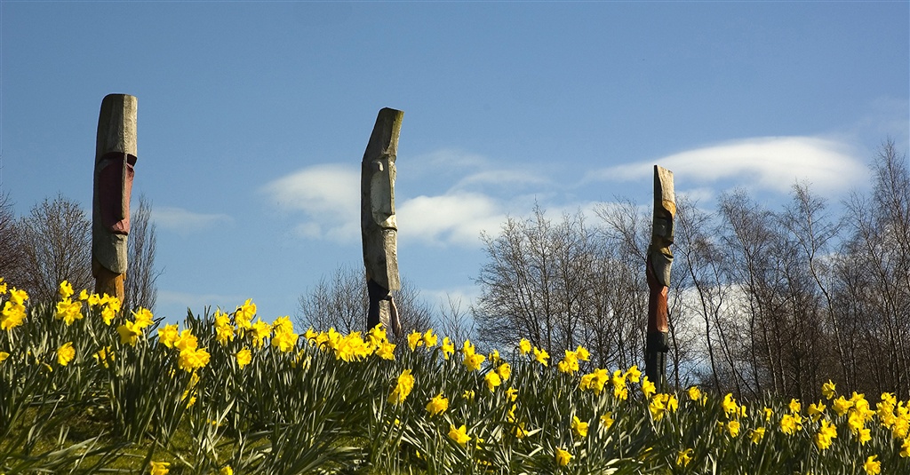
The best way to enjoy the park is to explore the network of paths, taking time to explore the artwork and wildflower meadows.
TRAIL INFORMATION
Starting at the car park off circular road, follow the path past the playground. Turn either left or right to take the route around the park. There are 2 bridges (1 for pedestrain use only, the other shared with vehicular access) over Parkway Road.
The best way to enjoy the park is to explore the network of paths, taking time to explore the artwork and wildflower meadows.
GETTING TO THE START
Main entrance: Entry is via Cairnburn Road and Circular Road. Bus routes: Metro 27/28/29 along the Old Holywood Road.
- Facilities N/A
- Getting to the Start Main entrance: Entry is via Cairnburn Road and Circular Road. Bus routes: Metro 27/28/29 along the Old Holywood Road.
- Traffic Information Mostly traffic-free, however 2 bridge on road bridge crossings.
- Accessible Facilities Surfaced paths with hills