2.2 miles
Linear

Moderate
Blackhead Path

TRAIL INFORMATION
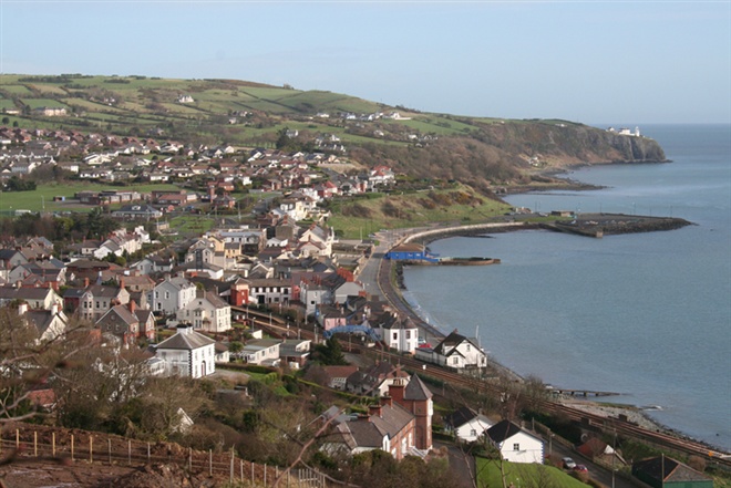
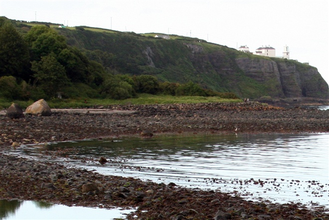
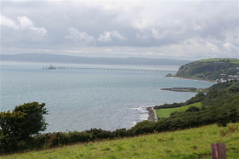
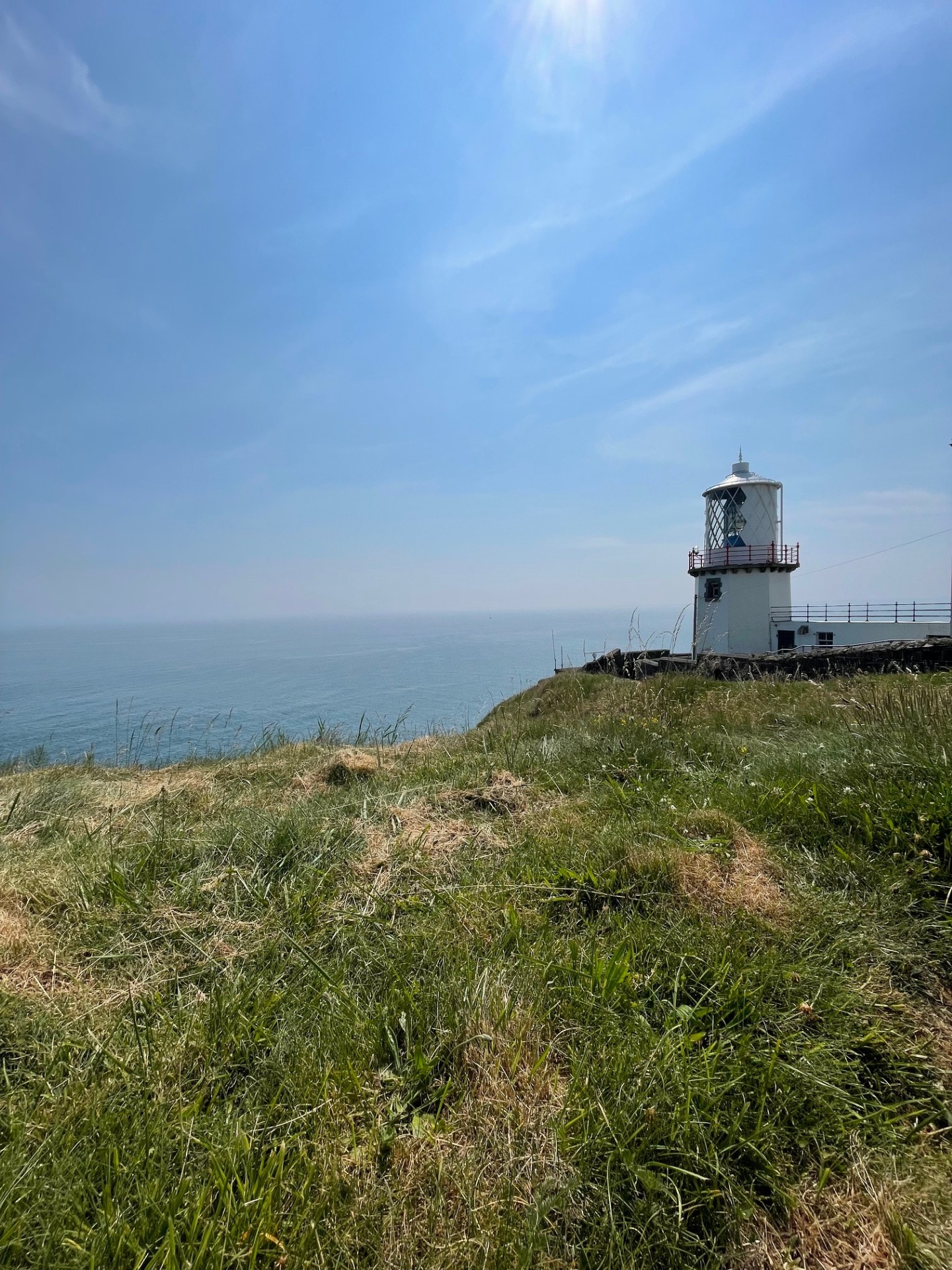
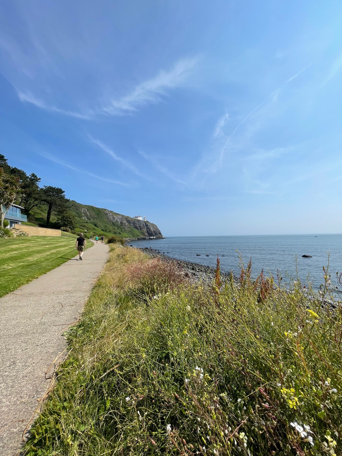
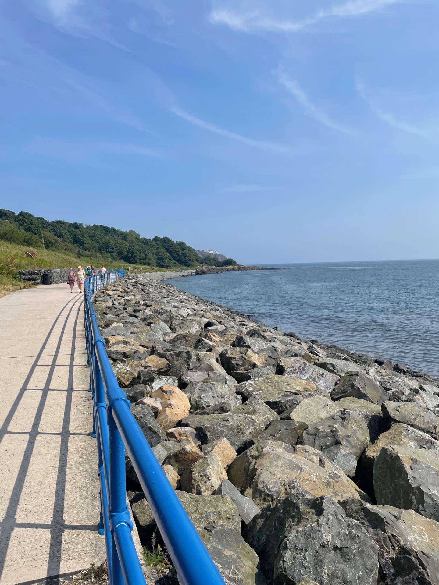
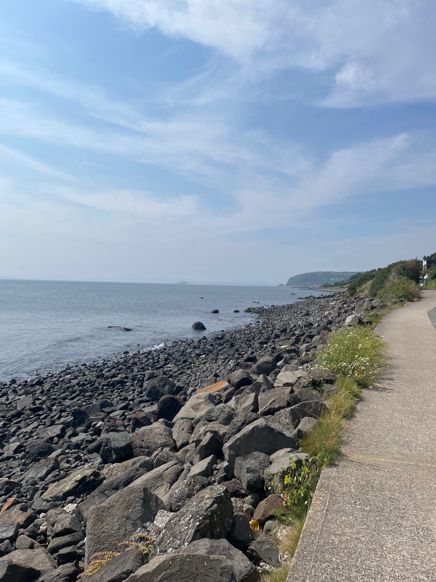
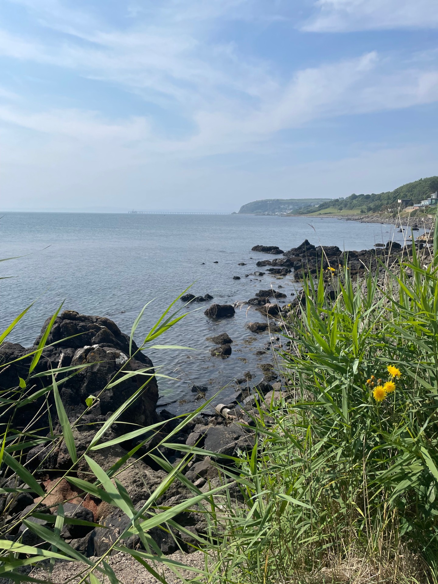
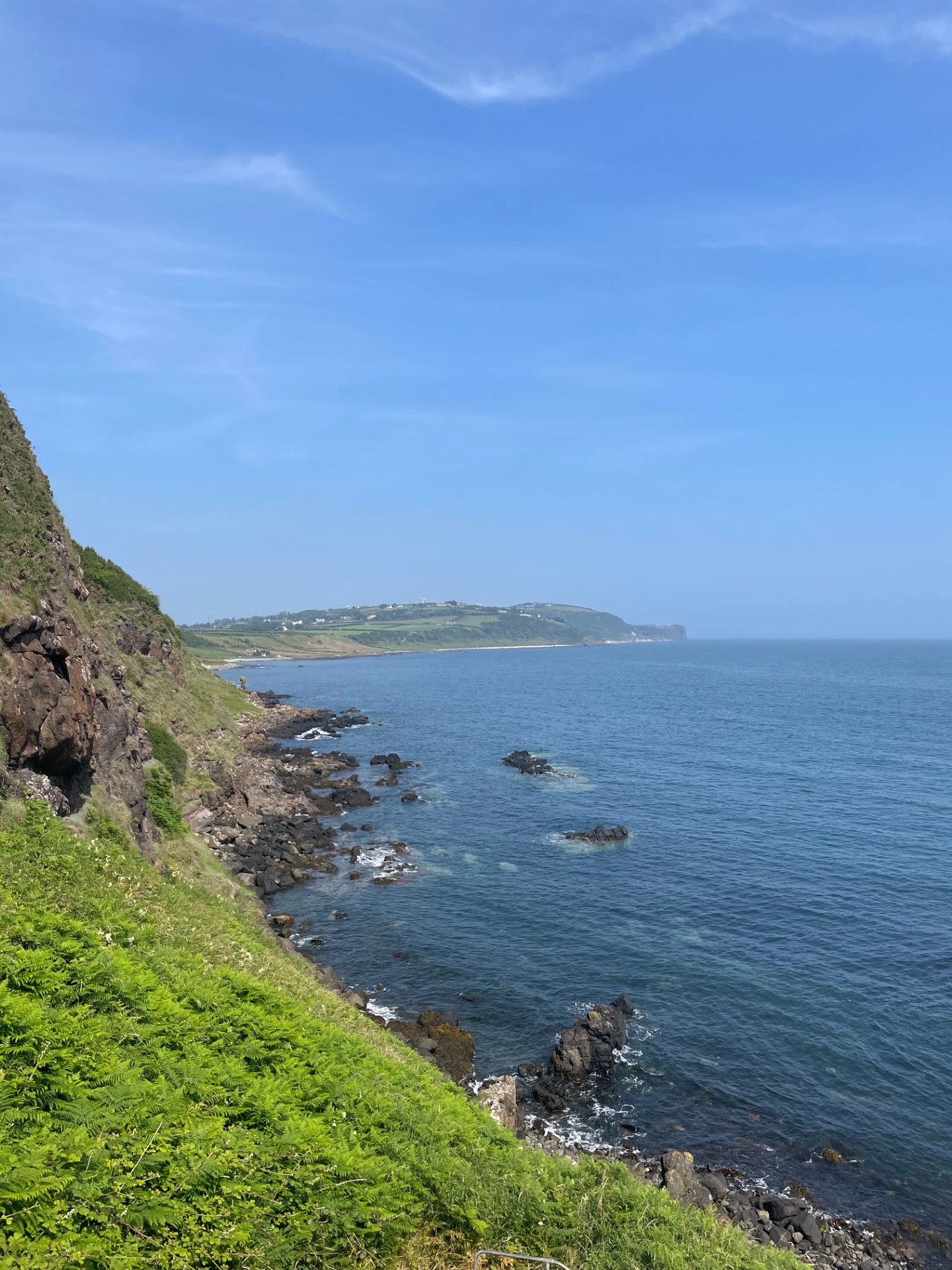
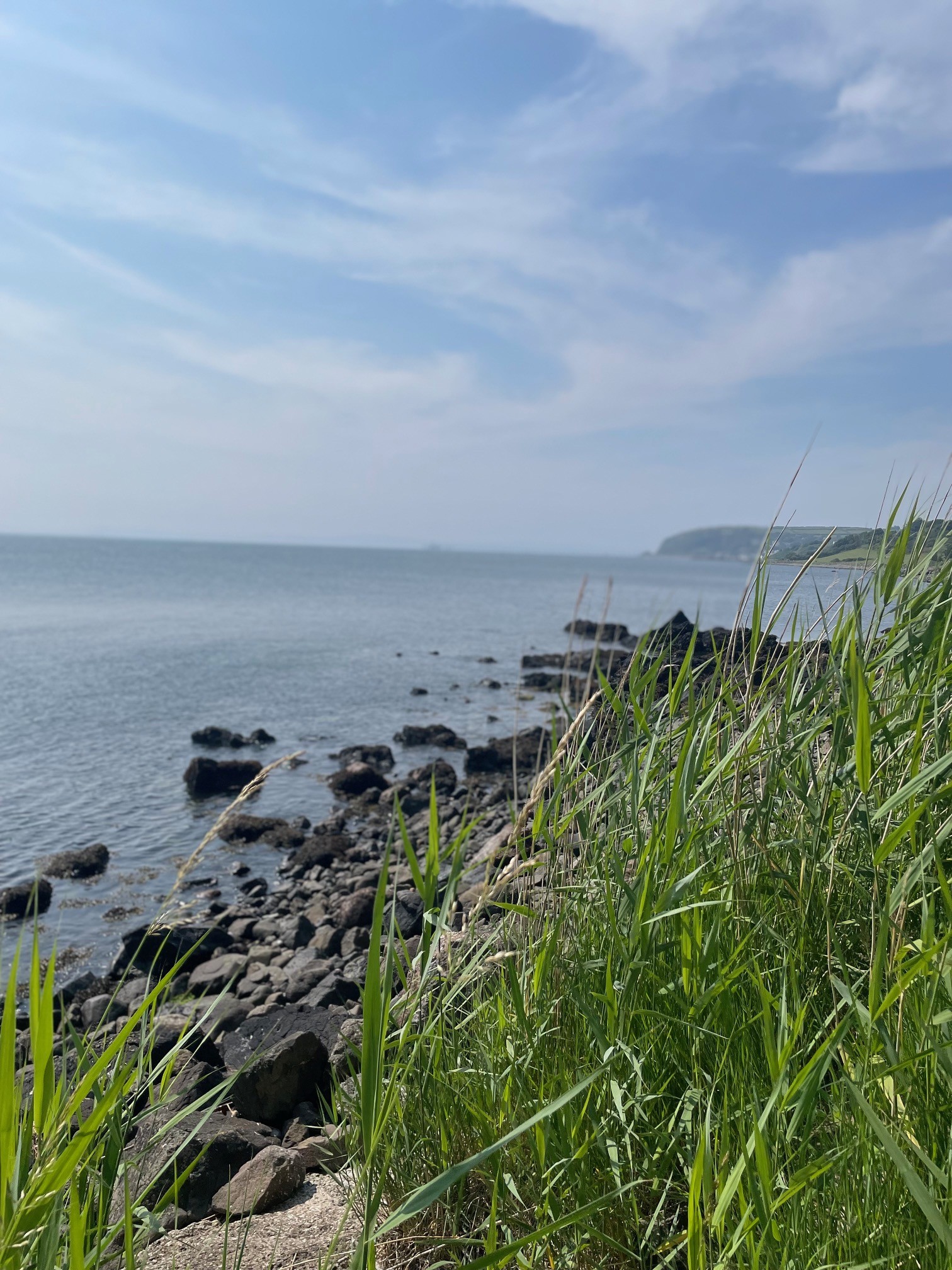
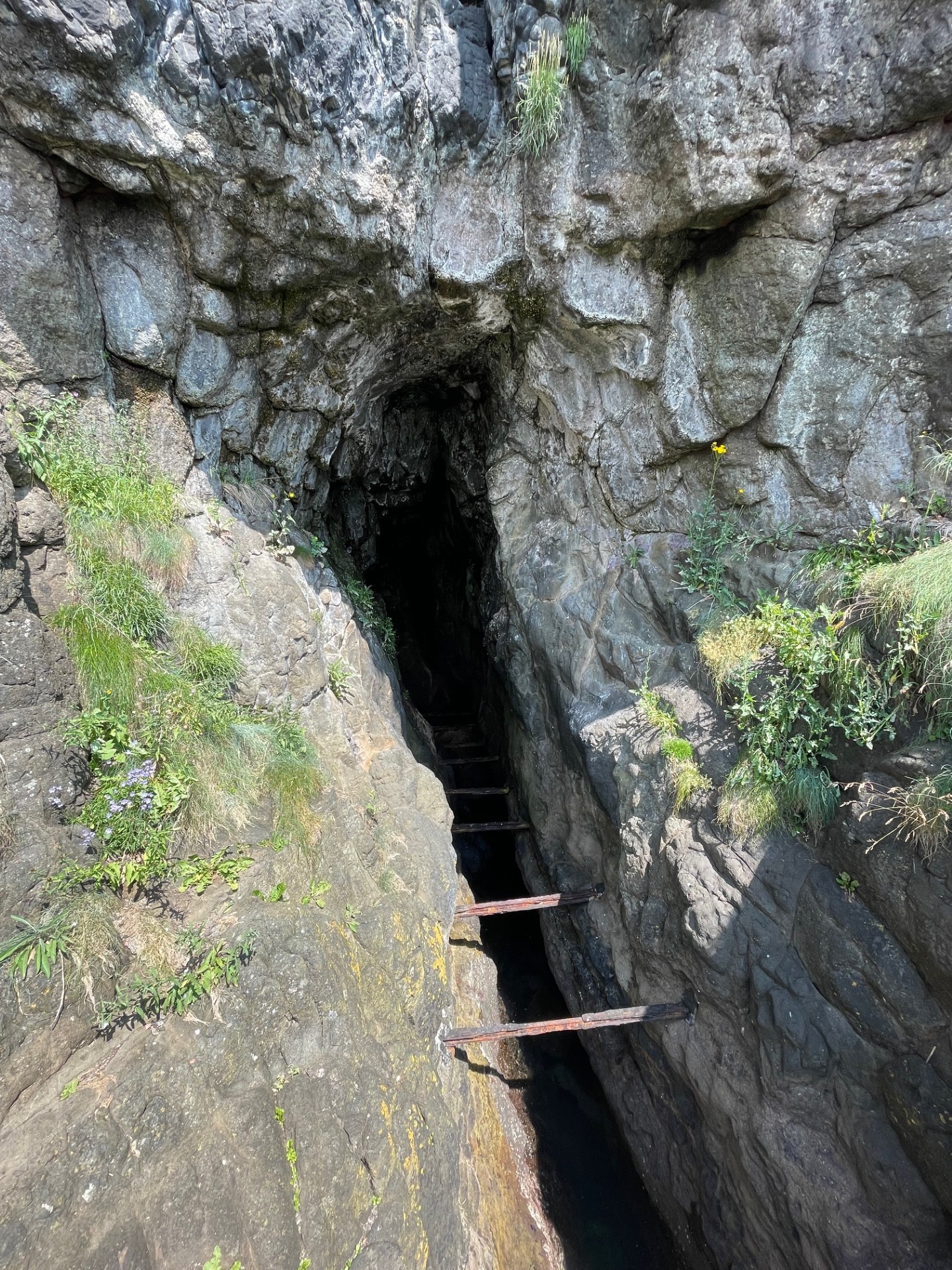
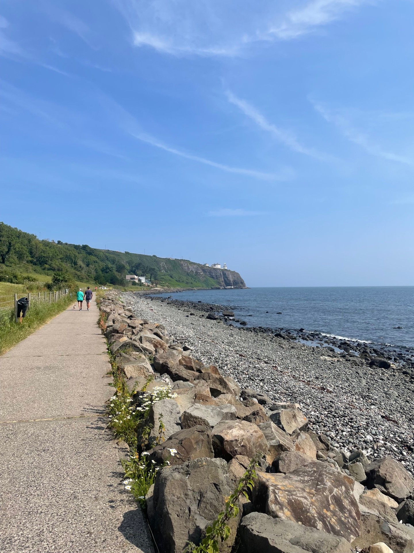
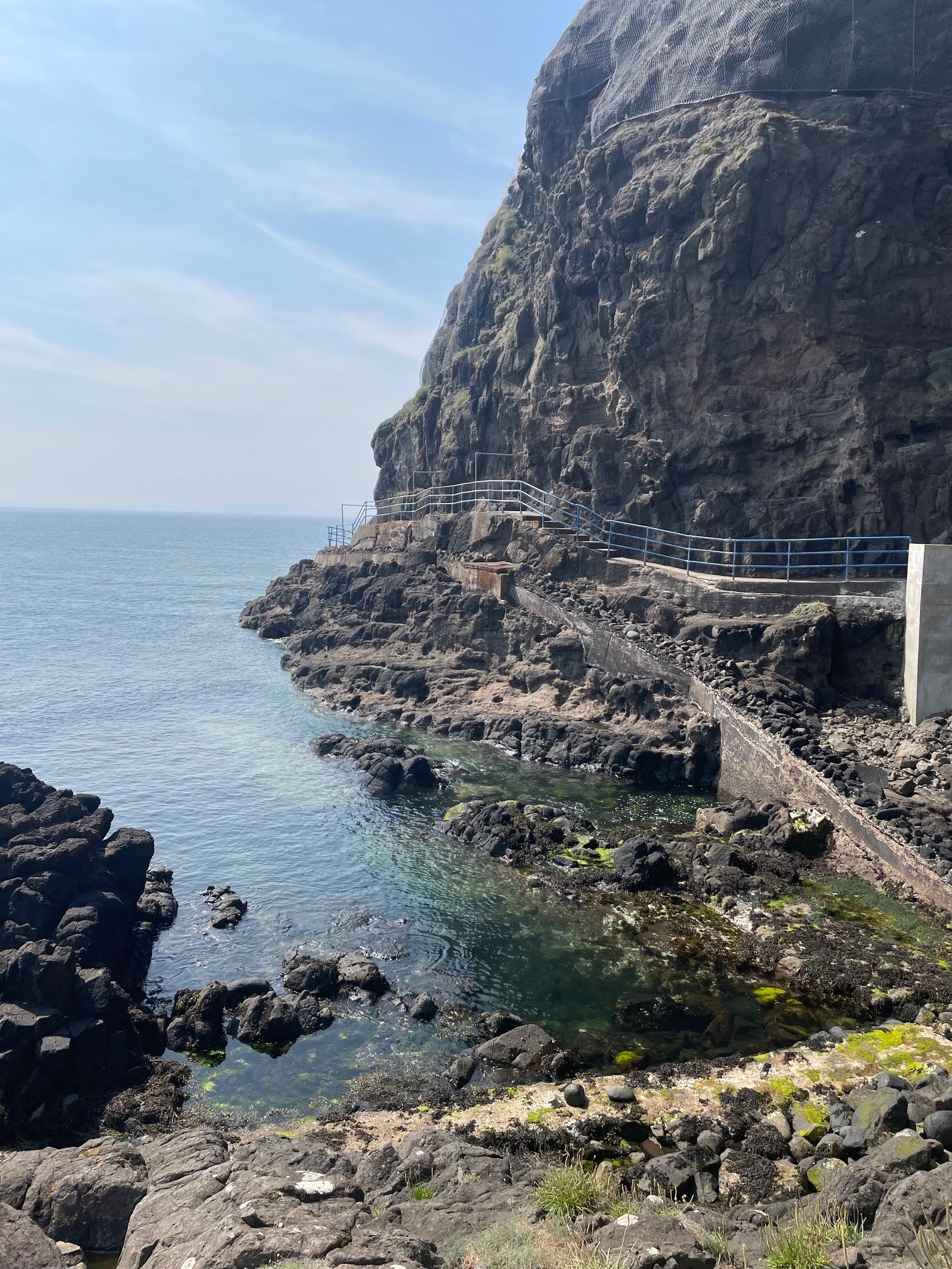
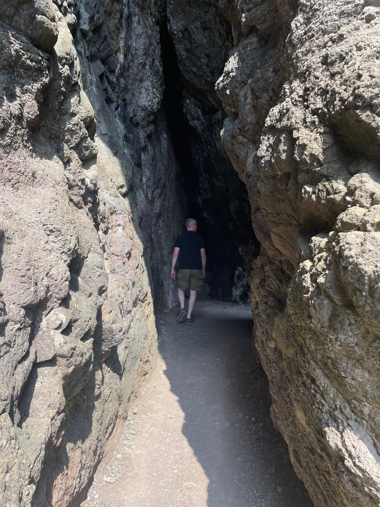
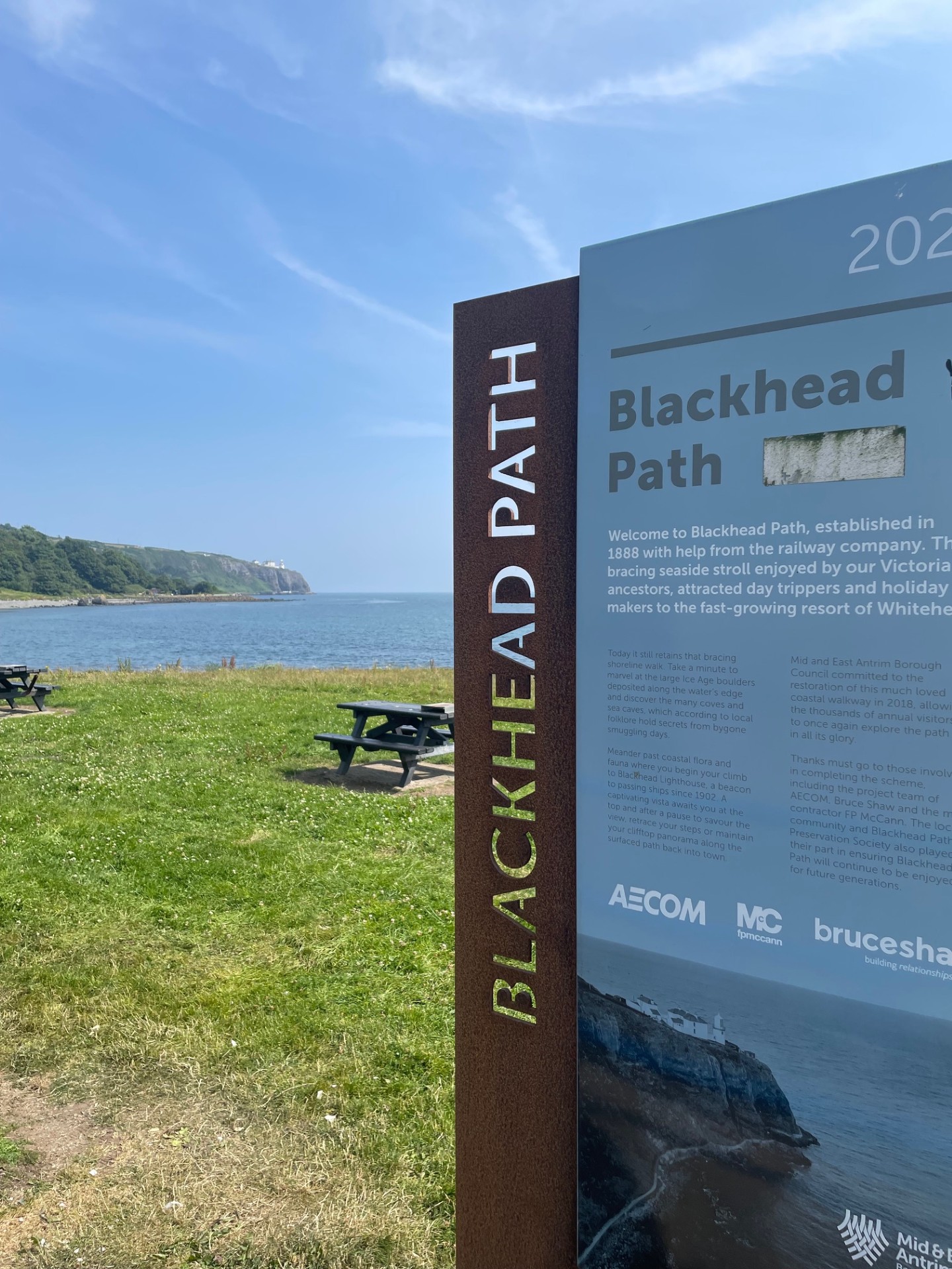
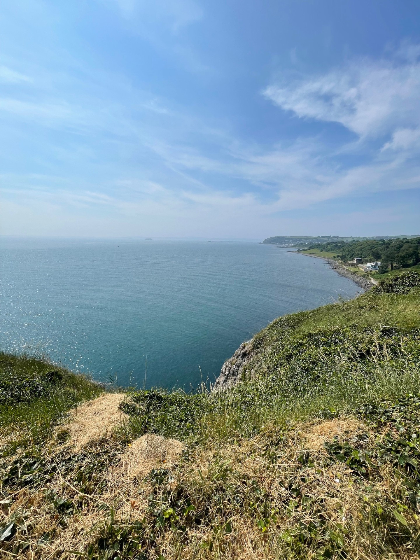
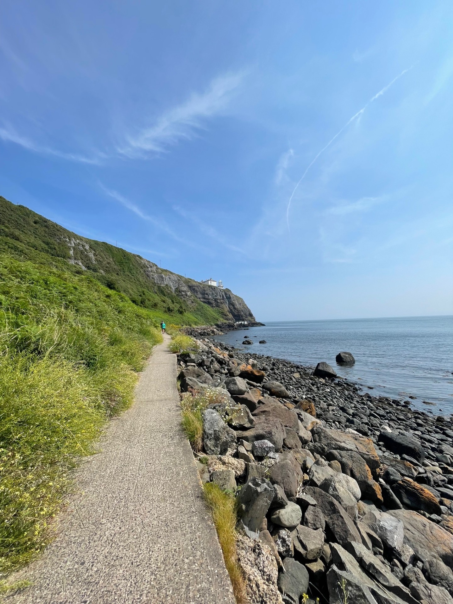
This walk starts at Whitehead Boat Park and leads along a coastal path and up some steep steps to Blackhead Lighthouse. From here walkers descend some more steep steps back to the coastal path and back to the car park.
TRAIL INFORMATION
This walk starts at Whitehead Boat Park and leads along a coastal path and up some steep steps to Blackhead Lighthouse. From here walkers descend some more steep steps back to the coastal path and back to the car park.
GETTING TO THE START
- Point of Interest The Blackhead Lighthouse
- Facilities Car park, toilets - 10p. There are also several shelters along the walk.Whitehead has a number of cafe facilities and public toilets.Whitehead can be reached by car, bus and train. For further information on public transport options visit www.translink.co.uk. The following facilities are available for users with limited mobility: – Disabled toilets.
- Accessibility Information
Accessibility Grade: Grade 5 Terrain: Level surfaced path, steep steps Toilet Facility: No Signage: No - Getting to the Start By car take the A2 from Carrickfergus or Larne. Car parking is available at the start of Blackhead Path.
- Public Transport Translink – journeyplanner.translink.co.uk
- Trail Grade Moderate TRAIL GRADE DISCLAIMER
The trail grades shown on OutmoreNI.com and WalkNI.com are based on desk-based assessments of available trail information. The categories—Easy, Moderate, Strenuous, and Very Strenuous—follow the Sustainable Trails Development Guide grading system.
These grades are provided as a general guide to help users choose trails that may be suitable for them. They are not a substitute for official, on-site grading or safety information provided by the relevant land manager, which may differ from the information on these websites.
Outdoor activities involve inherent risks, including the risk of injury, death, property damage, and other hazards. By using information from OutmoreNI.com and WalkNI.com, you acknowledge that you do so at your own risk. OutmoreNI.com and WalkNI.com accept no responsibility or liability for any loss, injury, or damage arising from the use of this information.
Conditions on trails can change, and the actual environment may differ from what is described online. Users should always exercise their own judgment, take appropriate precautions, and remain responsible for their own safety and conduct at all times.
All information provided on OutmoreNI.com and WalkNI.com is intended as a guide only and should be used alongside your own experience, awareness, and careful decision-making.
Routes with a varying range of climbs and descents, loose and uneven surfaces. Expect a few, large obstacles such as stiles and steps. A good level of fitness and self-reliance is recommended.