0.5 miles
Linear
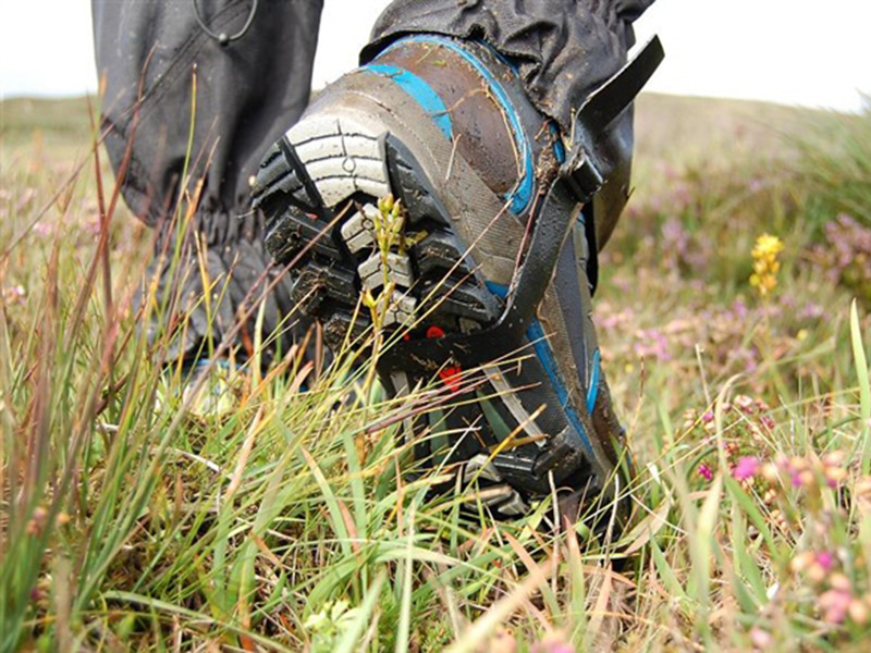
Moderate
Bloody Bridge River Walk
This scenic walk leads from the Bloody Bridge car park along the edge of the Bloody Bridge River and back again.
TRAIL INFORMATION
Leave the car park by its southern exit and take care crossing over the road to gain access to Bloody Bridge. Pass through the pedestrian gate and squeeze stile and follow the well worn track down the hill. This track forms part of the "Brandy Pad", an old smugglers route. Brandy and other spirits, wine, spices, tobacco, tea, coffee, sugar and silk made their way to the secluded coves of the Mourne coast via the Isle of Man, which was outside the control of Customs and Excise at that time.
On your left you will see the Bloody Bridge, originally a ford. The name refers to a massacre at the site at the time of the 1641 rebellion. The bodies of slain prisoners were thrown over the bridge into the river, turning it red and so the river became known as the Bloody Bridge River.
Continue up the path as it slowly climbs the lower slopes of the mountain. You will notice some stone pitching which is there to reduce path erosion. The vegetation in the valley is principally dry heath, which is rare in a European context. Wet springs and flushes along the path are home to some unusual invertebrates, including the Keeled Skimmer, a nationally scarce dragonfly. Several noteworthy butterfly species have also been recorded, including the Green Hairstreak, the Dark Green fritillary and the Grayling. Higher up in the mountains look out for ravens, red grouse and peregrine falcons, and the Irish Hare.
Continue to follow the path as it follows the Bloody Bridge River uphill. Stop where the path crosses the river and retrace your steps to get back to the car park.
* The Bloody Bridge Coastal Path is another path that you can explore from the Bloody Bridge Car Park, as its winds its way to the south along the coastline.
GETTING TO THE START
- Point of Interest Bloody bridge river, keeled skimmer dragonfly
- Facilities Car park, interpretive panels, viewing area, toilets and picnic tables. The following facilities are available for users with limited mobility: Disabled toilets.
- Dog Policy Dogs must be kept on leads
- Accessibility Information
Accessibility Grade: Grade 5 Terrain: Off road, unsurfaced trail Toilet Facility: No Signage: No - Getting to the Start The Bloody Bridge trail is situated on the fringe of the Mourne Mountains by the Irish Sea, 3 miles south of Newcastle on the A2 Newcastle to Kilkeel road.
- Public Transport Translink – journeyplanner.translink.co.uk
- Trail Grade
 Moderate TRAIL GRADE DISCLAIMER
 The trail grades shown on OutmoreNI.com and WalkNI.com are based on desk-based assessments of available trail information. The categories—Easy, Moderate, Strenuous, and Very Strenuous—follow the Sustainable Trails Development Guide grading system.
These grades are provided as a general guide to help users choose trails that may be suitable for them. They are not a substitute for official, on-site grading or safety information provided by the relevant land manager, which may differ from the information on these websites.
Outdoor activities involve inherent risks, including the risk of injury, death, property damage, and other hazards. By using information from OutmoreNI.com and WalkNI.com, you acknowledge that you do so at your own risk. OutmoreNI.com and WalkNI.com accept no responsibility or liability for any loss, injury, or damage arising from the use of this information.
Conditions on trails can change, and the actual environment may differ from what is described online. Users should always exercise their own judgment, take appropriate precautions, and remain responsible for their own safety and conduct at all times.
All information provided on OutmoreNI.com and WalkNI.com is intended as a guide only and should be used alongside your own experience, awareness, and careful decision-making.
Routes with a varying range of climbs and descents, loose and uneven surfaces. Expect a few, large obstacles such as stiles and steps. A good level of fitness and self-reliance is recommended.