1 miles
Loop
Moderate
Carnmoney Hill
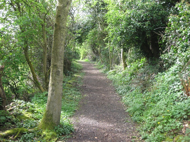
Carnmoney Hill is a green oasis in an urban area, and is rich in both history and wildlife. Walkers can choose between a gentle stroll around the foot of Carnmoney Hill; a lower woodland walk (lasting approx 30 mins); or a hilltop walk (lasting over an hour).
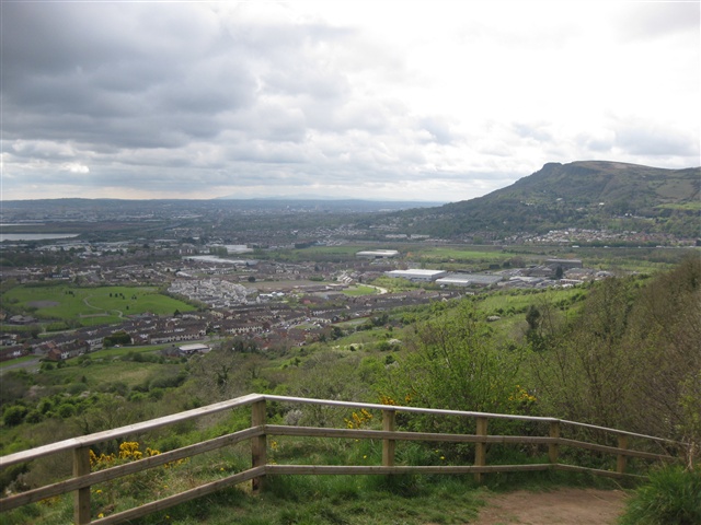
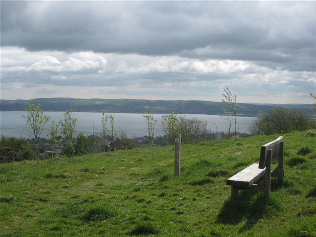
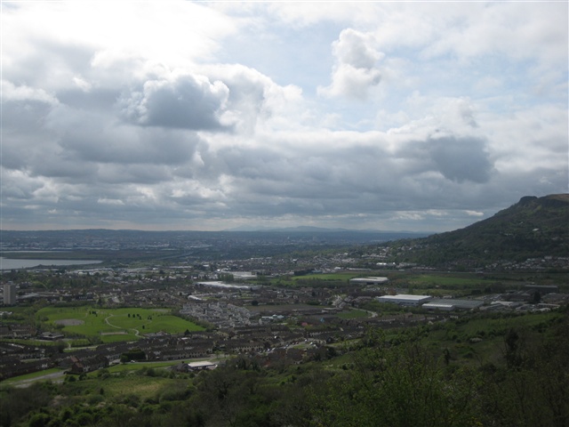
There are some steep inclines, but in return you have the promise of wonderful views over Belfast Lough and the surrounding countryside.
TRAIL INFORMATION
There are 3 walks around this site waymarked with red, yellow and blue arrows. The red route is the shortest, the blue is the longest walk to the top of the hill and the best views - across Belfast Lough, south to the Mournes, NW to Slemish Mtn, and north to the Antrim Coast.
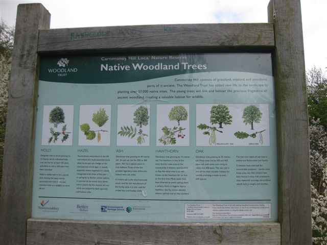
A Welcome Board is in place at the entrance. The Board details the choice of walking routes.
The walking routes are also detailed on a leaflet which is available from the Woodland Trust and available for download here.
TRAIL INFORMATION
There are 3 walks around this site waymarked with red, yellow and blue arrows. The red route is the shortest, the blue is the longest walk to the top of the hill and the best views - across Belfast Lough, south to the Mournes, NW to Slemish Mtn, and north to the Antrim Coast.
A Welcome Board is in place at the entrance. The Board details the choice of walking routes.
The walking routes are also detailed on a leaflet which is available from the Woodland Trust and available for download here.
GETTING TO THE START
- Point of Interest Wildlife, ponds, hilltop views, children's play area, Victorian well
- Facilities Car parking is available at the lay-by at Knockenagh Avenue. The following facilities are available for users with limited mobility: – Disabled toilets – There are disabled toilets in the Community Center, at the bottom of the site, but are only available when Center is open.
- Accessibility Information
Accessibility Grade: Grade 4 Terrain: Off road tracks Toilet Facility: No Signage: No - Getting to the Start From the M2 proceed onto the M5. At the end of the M5 you will see a roundabout; follow the sign for Carrickfergus. At the next roundabout take the first left signed to Glengormley. This is Station Road. Proceed straight ahead to the mini roundabout. Go straight ahead at this roundabout onto the O'Neill Road. Travel uphill and take the first right turn into Knockenagh Avenue. A short distance ahead, you will see the entrance to Carnmoney Hill on the left hand side. Park at the lay-by.
- Public Transport Translink – journeyplanner.translink.co.uk
- Level of Difficulty
 Moderate TRAIL GRADE DISCLAIMER
 The trail grades shown on OutmoreNI.com and WalkNI.com are based on desk-based assessments of available trail information. The categories—Easy, Moderate, Strenuous, and Very Strenuous—follow the Sustainable Trails Development Guide grading system.
These grades are provided as a general guide to help users choose trails that may be suitable for them. They are not a substitute for official, on-site grading or safety information provided by the relevant land manager, which may differ from the information on these websites.
Outdoor activities involve inherent risks, including the risk of injury, death, property damage, and other hazards. By using information from OutmoreNI.com and WalkNI.com, you acknowledge that you do so at your own risk. OutmoreNI.com and WalkNI.com accept no responsibility or liability for any loss, injury, or damage arising from the use of this information.
Conditions on trails can change, and the actual environment may differ from what is described online. Users should always exercise their own judgment, take appropriate precautions, and remain responsible for their own safety and conduct at all times.
All information provided on OutmoreNI.com and WalkNI.com is intended as a guide only and should be used alongside your own experience, awareness, and careful decision-making.
Moderately challenging trails of varying widths with some short, steep climbs and descents. The surface may vary throughout, be slippery and uneven in places. Expect there to be obstacles like exposed roots, narrow gates, stiles and long sets of steps.
Outdoor clothing and sturdy footwear are recommended.