6.1 miles
Loop
Strenuous
Carntogher Way - Slí an Chairn
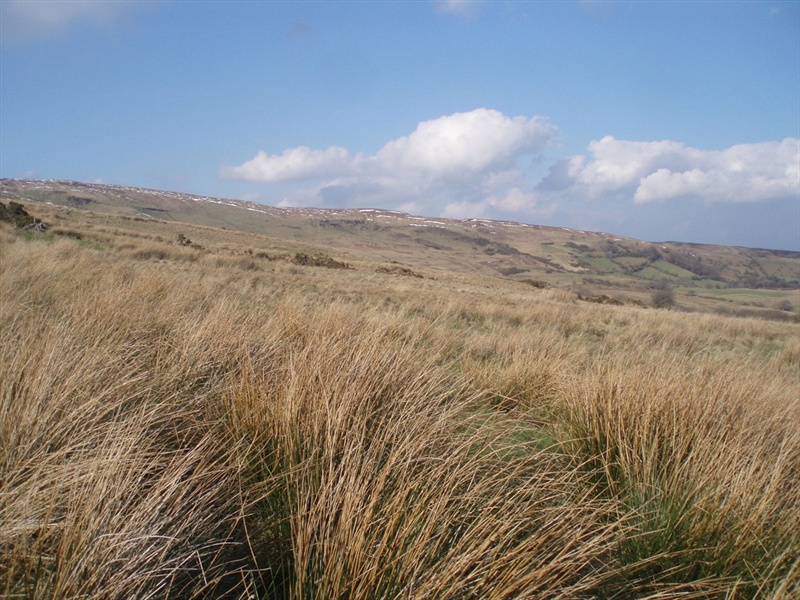
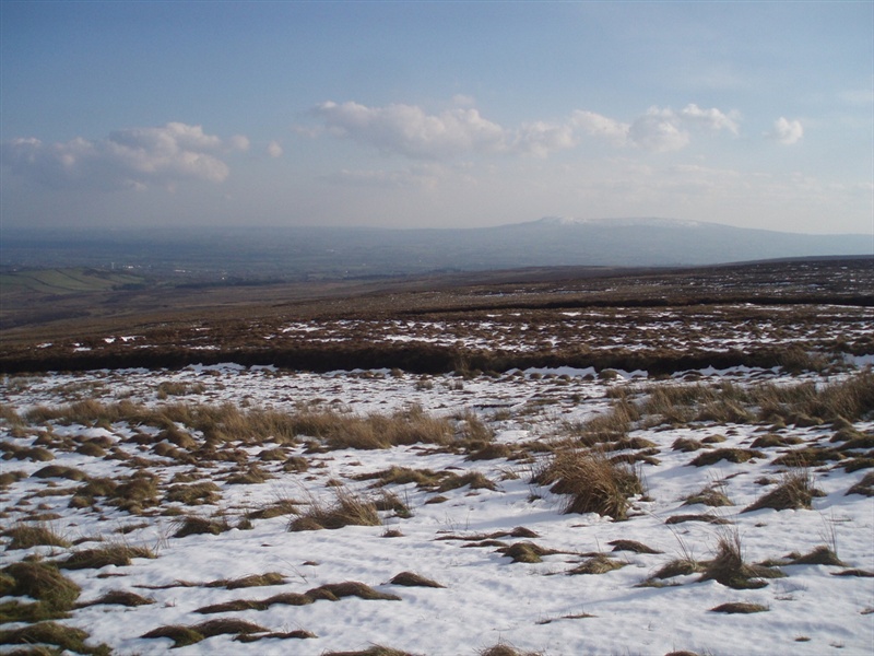
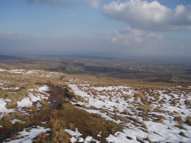
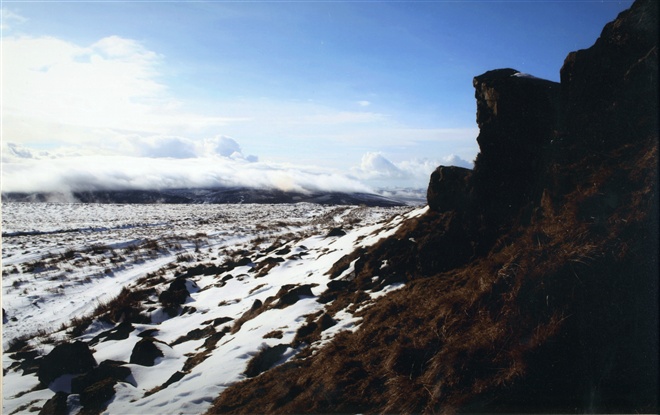
This walk on the hills above the Glenshane Pass gives access to historic Carntogher Mountain with views across Lough Foyle to Errigal and Muckish in Donegal, Sawel and the high Sperrins, and south-east to The Mournes and Slieve Gullion. Mentioned in the early Iron Age tale Táin Bó Cuailgne, the area is rich in mythology and archaeological heritage and a number of monuments remain visible in the landscape.
TRAIL INFORMATION
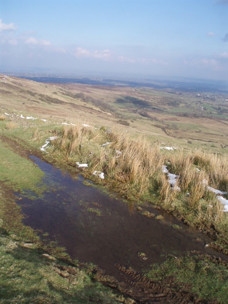
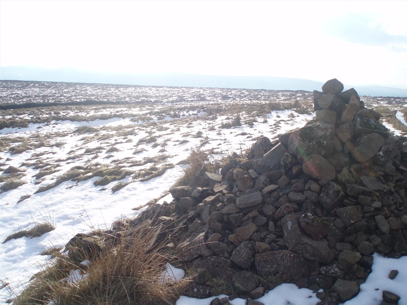
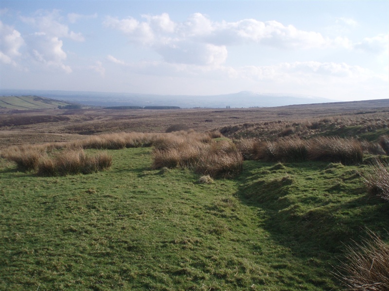
The main looped Carntogher Way coded red starts on a quiet minor road and quickly uses a gravel path to climb the east side of Carntogher Mountain, leading in turn to a section of open grassy mountainside and heathery summit, before returning on gravel paths to the start point. Sections of this route can be boggy underfoot. Appropriate footwear is recommended. This route has a shorter alternative coded blue called the Skelp trail. There is an alternative lower level route coded yellow, the Seefin Trail*, which begins at the carpark and follows a stream through the Pollan Bog with boardwalk in the wetter places, and around Seefin Hill before returning along the same stream to the carpark.
TRAIL INFORMATION
The main looped Carntogher Way coded red starts on a quiet minor road and quickly uses a gravel path to climb the east side of Carntogher Mountain, leading in turn to a section of open grassy mountainside and heathery summit, before returning on gravel paths to the start point. Sections of this route can be boggy underfoot. Appropriate footwear is recommended. This route has a shorter alternative coded blue called the Skelp trail. There is an alternative lower level route coded yellow, the Seefin Trail*, which begins at the carpark and follows a stream through the Pollan Bog with boardwalk in the wetter places, and around Seefin Hill before returning along the same stream to the carpark.
GETTING TO THE START
- Point of Interest Altkeeran, a hidden glen; the Emigrants Cairn: Shane's Leaps
- Facilities There is a craft shop with post office, tourist information and coffee corner nearby at An Carn Centre C796061 with disabled carparking and toilets, which you pass on the Tirkane Road on the way to the walk start point.
- Getting to the Start Take the Tirkane Road C551 north west out of Maghera for 3 miles and park at the roadside carpark at the Cotter Row C819045 where you see the information sign for the mountain walks. This is the walk start point. Full details on brochure.
- Public Transport Translink – journeyplanner.translink.co.uk
- Level of Difficulty
 Strenuous
Physically demanding, narrow trails with steep climbs and descents over short and long distances. Expect the surface to be uneven and changeable throughout with natural surfaces like grass, exposed rock and trodden earth. The surface may change suddenly and be unstable in places. There will be slippery sections when wet and large, frequent obstacles like exposed roots, large boulders, overgrown sections, uneven stiles and long stretches of uneven steps.
Outdoor clothing and sturdy footwear are recommended.