1.2 miles
Loop
Easy
Castle Archdale Blue Route
One of a variety of walks along the lough shore passing the deer park enclosure, wildfowl ponds, wildflower meadow and butterfly garden.
Evidence of the Second World War can be found throughout the park in flying-boat docks, ammunition dumps, Slit trenches, etc. This is because Lough Erne played an important role as the most westerly flying-boat station, from which aircraft protected the allied convoys from the U-Boat threat in the North Atlantic. There is also a family cycle trail waymarked around the park.
TRAIL INFORMATION
There are various routes available through the Park. These are shown on the attached maps.
A popular short walk (2.2 mile) demonstrates Castle Archdale Country Park ability to combine natural beauty with evidence of its role as a vital flying-boat station in the Battle of the Atlantic in World War II.
From Castle Archdale Courtyard, follow the sign for the Woodland Walk down the hill to the caravan site where you’ll see a large green tank, one of a few surviving WWII structures, which once provided drinking water from Lough Erne to the camp. Follow the pedestrian path uphill past the walled garden. On your left is the area known as ‘Skunk Hollow’, once the sleeping quarters of Canadian aircrews named after a place in the ‘L’il Abner’ comic strip.
Carry straight on past the mature oaks to a junction, once the security checkpoint marked by a memorial stone and a lime tree arch woven together by airmen on guard duty. Go right to the car park adjacent to the Lough shore then follow the first pedestrian path to the ‘Burma Road’, cut through dense forest to give access to bomb and ammunition stores. Continue on to a T junction, go right and up the steps back to the courtyard where you started.
Ask at the Countryside Centre for more information in the courtyard.
GETTING TO THE START
- Point of Interest Red deer, wildfowl, butterflies, wildflower, WWII remains
- Facilities "The Country Park is open daily from 9am- 5pm except for the Christmas public holidays 24th, 25th, 28th December and 1st January. The Country Park is open over the Christmas weekend 26th and 27th Dec. The Countryside Centre and WWII Exhibition is open 12pm-4pm on Sundays only all year except for the Christmas public holidays 24th, 25th, 28th December and 1st January. (The Countryside Centre will be open on the 27th: 12-4pm as usual). Toilets, car and coach parking, tea rooms (seasonal opening), ""Castle Archdale at War"" Exhibition, and displays of farm machinery, local wildlife and geographical/historical aspects of the park. Seasonal pony trekking, cycle hire and boat trips are also available."
- Dog Policy Dogs must be kept on leads
- Accessibility Information
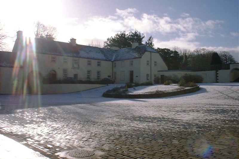
Accessibility Grade: Grade 4 Terrain: Relatively flat off road paths Toilet Facility: No Signage: No - Getting to the Start "Various starting points. Castle Archdale Country Park is situated on the main Enniskillen to Kesh road (B82). It is well signposted and can be found 1 mile on the Enniskillen side of Lisnarick village. 346 Killadeas Road Irvinestown Co. Fermanagh BT94 1PP"
- Public Transport Translink – journeyplanner.translink.co.uk
- Level of Difficulty
 Easy TRAIL GRADE DISCLAIMER
 The trail grades shown on OutmoreNI.com and WalkNI.com are based on desk-based assessments of available trail information. The categories—Easy, Moderate, Strenuous, and Very Strenuous—follow the Sustainable Trails Development Guide grading system.
These grades are provided as a general guide to help users choose trails that may be suitable for them. They are not a substitute for official, on-site grading or safety information provided by the relevant land manager, which may differ from the information on these websites.
Outdoor activities involve inherent risks, including the risk of injury, death, property damage, and other hazards. By using information from OutmoreNI.com and WalkNI.com, you acknowledge that you do so at your own risk. OutmoreNI.com and WalkNI.com accept no responsibility or liability for any loss, injury, or damage arising from the use of this information.
Conditions on trails can change, and the actual environment may differ from what is described online. Users should always exercise their own judgment, take appropriate precautions, and remain responsible for their own safety and conduct at all times.
All information provided on OutmoreNI.com and WalkNI.com is intended as a guide only and should be used alongside your own experience, awareness, and careful decision-making.
Relatively flat or gently rolling trails with a mostly smooth surface. You might come across some obstacles like bridges, gates and steps.
Normal clothing and footwear can be worn.