1.9 miles
Loop

Easy
Castle Archdale Forest Tom’s Island Walk

Castle Archdale Forest is part of the Marble Arch Caves Global Geopark. Castle Archdale Forest is a 520 hectare mixed broadleaved and coniferous lowland forest located on the eastern shores of Lower Lough Erne. The forest is a richly varied one in terms of views and features and includes ruined Castles, WWII docks & buildings, ancient woodland and views over Lower Lough Erne to White Island, Davy`s Island and further a field.
TRAIL INFORMATION
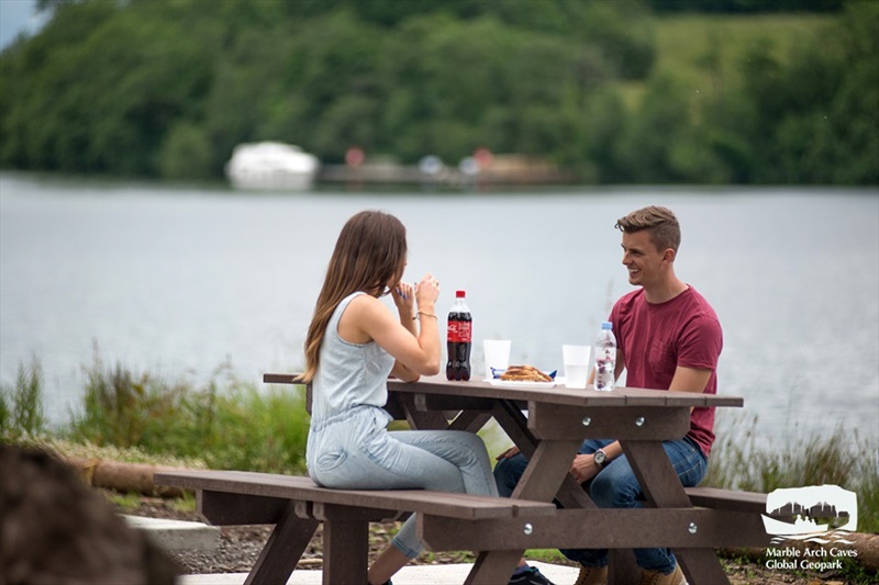
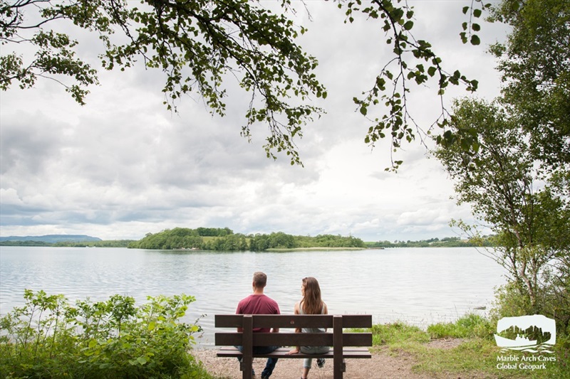
Tom’s Island Walks is a circular walk which showcases the best of Castle Archdale Forest. The path meanders through deep woodland containing a delightful mixture of coniferous and broadleaved trees. Skirting the shores of Lower Lough Erne be sure to stop at the picnic or resting areas on Tom’s Island to enjoy the panoramic views over the lake towards White Island and Davy’s Island.
This walk provides you with the best opportunity to glimpse the pine marten, hedgehogs, foxes and red squirrels that you can often hear foraging in the foliage. This area has been identified as an important habitat for red squirrels and is promoted by the Fermanagh Red Squirrel Group.
TRAIL INFORMATION
Tom’s Island Walks is a circular walk which showcases the best of Castle Archdale Forest. The path meanders through deep woodland containing a delightful mixture of coniferous and broadleaved trees. Skirting the shores of Lower Lough Erne be sure to stop at the picnic or resting areas on Tom’s Island to enjoy the panoramic views over the lake towards White Island and Davy’s Island.
This walk provides you with the best opportunity to glimpse the pine marten, hedgehogs, foxes and red squirrels that you can often hear foraging in the foliage. This area has been identified as an important habitat for red squirrels and is promoted by the Fermanagh Red Squirrel Group.
GETTING TO THE START
- Point of Interest This walk takes in many differing landscapes offering something for everyone. In particular Tom’s Island is majestic where the path skirts the shore line and you see great views across the lough. Picnic and seating areas along this walk offer a great day
- Facilities Free Admission, Open access to pedestrians 24 hours a day, 365 days a week Car Parks are open at all times. Cafe: Open daily 10:00 - 17:00 throughout July and August. Large groups can be catered for outside of these times. Please contact the tea rooms directly for details. Service Station located on main road, heading towards Lisnarick (turn left when leaving Castle Archdale) Toilets are available in the courtyard daily between 09:00 to 17:00 (except for Christmas Day). Visitor Centre exhibition: Open 12:00 - 16:00 on Sundays. *Closed Christmas Day*
- Dog Policy Dogs must be kept on leads
- Getting to the Start The car park is approximately four miles from Lisnarrick off the B82 Enniskillen to Kesh Road at the Aghinver junction. Turn left at signage for Aghinver and Clareview Caravan Park, turn left immediately again following signage for Old Castle Archdale.
- Public Transport Translink – journeyplanner.translink.co.uk
- Trail Grade Easy TRAIL GRADE DISCLAIMER
The trail grades shown on OutmoreNI.com and WalkNI.com are based on desk-based assessments of available trail information. The categories—Easy, Moderate, Strenuous, and Very Strenuous—follow the Sustainable Trails Development Guide grading system.
These grades are provided as a general guide to help users choose trails that may be suitable for them. They are not a substitute for official, on-site grading or safety information provided by the relevant land manager, which may differ from the information on these websites.
Outdoor activities involve inherent risks, including the risk of injury, death, property damage, and other hazards. By using information from OutmoreNI.com and WalkNI.com, you acknowledge that you do so at your own risk. OutmoreNI.com and WalkNI.com accept no responsibility or liability for any loss, injury, or damage arising from the use of this information.
Conditions on trails can change, and the actual environment may differ from what is described online. Users should always exercise their own judgment, take appropriate precautions, and remain responsible for their own safety and conduct at all times.
All information provided on OutmoreNI.com and WalkNI.com is intended as a guide only and should be used alongside your own experience, awareness, and careful decision-making.
Suitable for most people, these routes are relatively flat, smooth and well-defined with occasional gentle slopes. There may be minor obstacles such as gates and bridges. A basic level of fitness will help to enjoy these trails.