1.1 miles
Loop
Castle Caldwell Forest; Beechwood Walk
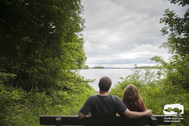
The Beechwood Walk is part of the Marble Arch Caves Global Geopark and encompasses both lough shore and woodland paths. The walk takes in man-made and natural wonders, including a lime-kiln which hints at the association of the Caldwell estate with the nearby Belleek Pottery, a half-moon limestone bench along the shoreline and the eerie ruins of Castle Caldwell.
TRAIL INFORMATION
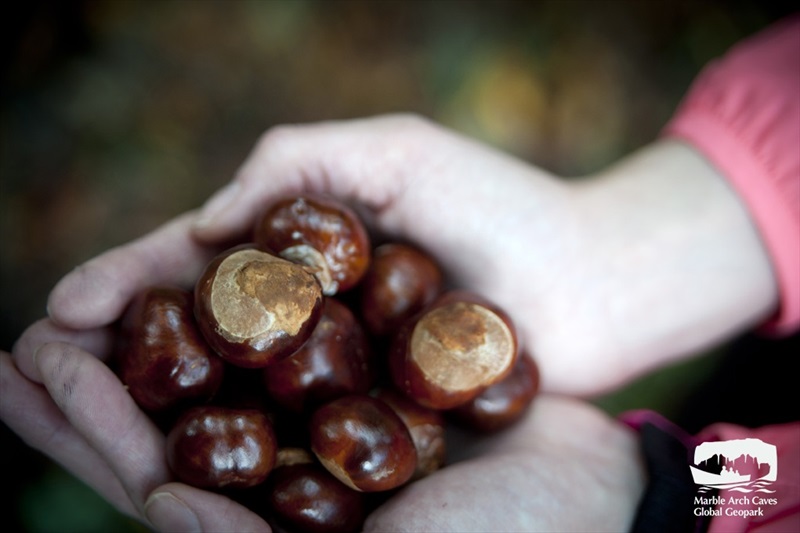
The Beech Wood Walk encompasses both lake shore and woodland paths. The first part of the walk is along the peninsula shore that would have been submerged by water up until the 1880`s. Draining of Lower Lough Erne by approximately three metres exposed new land creating new habitats. The path follows the new foreshore which is populated by alder and willow trees, whilst higher up on the banks the older oak and beech trees indicate the former level of the water’s edge. Along the North facing stretch of the promontory, views over Lower Lough Erne towards Boa Island and Kesh can be enjoyed before the path drifts away into the forest. Here you may be able to catch a glimpse of some of the shy woodland mammals that inhabit this beautiful place such as the pine marten. The final stretch of the walk meanders through an area of broadleaf woodland, before opening up to reveal fine views of Castle Caldwell rising high above the forest floor. This walk is situated in a working forest and may be temporarily diverted or closed while trees are being harvested so please comply with any safety signage. All Forest Service woodlands are sustainably managed and certified to international standards that demonstrate good environmental, social and economic principles.
TRAIL INFORMATION
The Beech Wood Walk encompasses both lake shore and woodland paths. The first part of the walk is along the peninsula shore that would have been submerged by water up until the 1880`s. Draining of Lower Lough Erne by approximately three metres exposed new land creating new habitats. The path follows the new foreshore which is populated by alder and willow trees, whilst higher up on the banks the older oak and beech trees indicate the former level of the water’s edge. Along the North facing stretch of the promontory, views over Lower Lough Erne towards Boa Island and Kesh can be enjoyed before the path drifts away into the forest. Here you may be able to catch a glimpse of some of the shy woodland mammals that inhabit this beautiful place such as the pine marten. The final stretch of the walk meanders through an area of broadleaf woodland, before opening up to reveal fine views of Castle Caldwell rising high above the forest floor. This walk is situated in a working forest and may be temporarily diverted or closed while trees are being harvested so please comply with any safety signage. All Forest Service woodlands are sustainably managed and certified to international standards that demonstrate good environmental, social and economic principles.
GETTING TO THE START
- Point of Interest lime-kiln, ruins of Castle Caldwell
- Facilities Car parking & picnic facilities. Refreshments available in Belleek village – approximately 8km away.
- Getting to the Start Turn off Kesh – Belleek A47 road about 8km from Belleek into Castle Caldwell Forest. Turn is well signposted. Pass between support walls of old railway bridge, then turn left and later left again into car park.
- Public Transport Translink – journeyplanner.translink.co.uk