8.2 miles
Loop
Strenuous
Castle Ward Boundary Trail
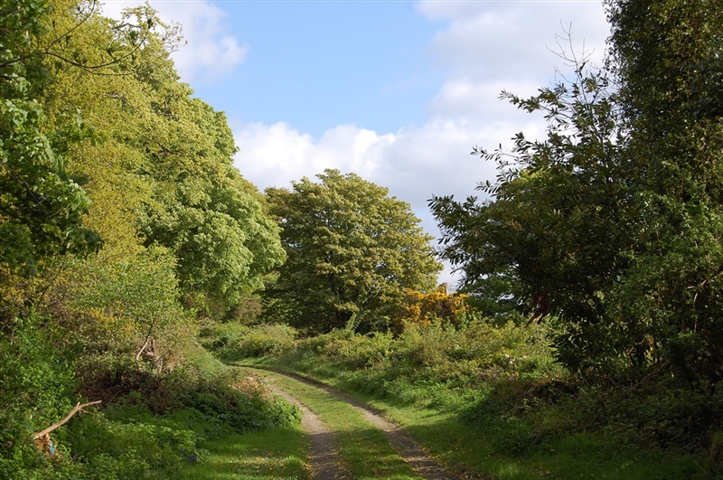
The longest walking trail within Castle Ward, this trail incorporates sections of multi use trail with sections of narrow singletrack. Expect a range of users on the multi use sections including cyclists and horses. Expect numerous cyclists on the singletrack trails. This trail leads through fields where there may be livestock.
Follow the RED waymarker disks with the words 'Boundary Trail' around the edge.
TRAIL INFORMATION
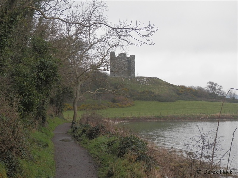
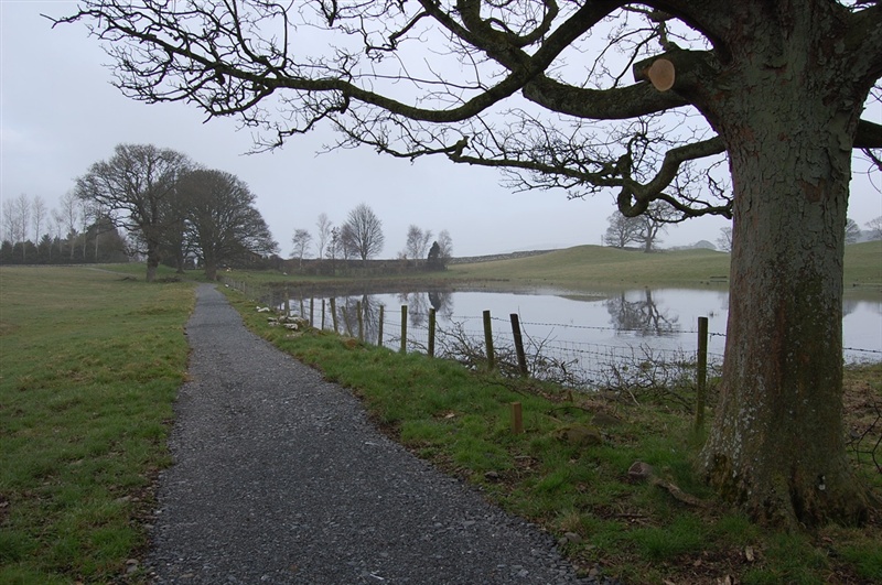
Starting in the Shore Car Park, this circular trail leads along the shore of Strangford Lough and then around Audley's Castle through the surrounding woodland.
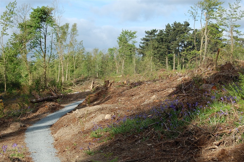
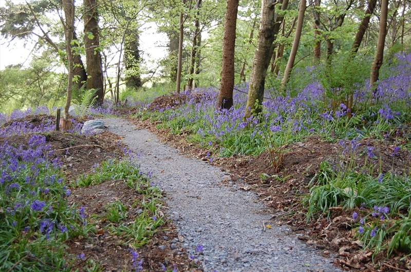
After crossing the Audleystown Road, looking out for traffic coming in both directions, the trail leads firstly through some woodland before leading through West Park - an area of historic farmland. Back into the woodland at Mallard Plantation, the trail narrows and branches left. Look out for cyclists on singletrack sections such as this.
After crossing Downpatrick Ave and a short 100m section on road, the trail leads left into Tullyratty an area of farmland designated as an Area of Special Scientific Interest (ASSI), due to the species rich grassland. Back into the woodland of Mountain Wood, follow the singletrack trail to Base Camp. After crossing the bridge continue on more singletrack meandering through woods and fields to reach the main entrance to the property. Cross with caution and look out for vehicles travelling in both directions.
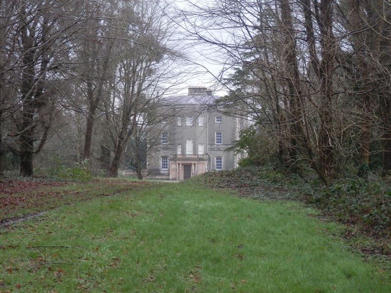
Continue on through the historic grounds of Windmill Plantation and cross Church Walk with a view of Castle Ward house to the left. The trail then leads down through the Deer Park on the final singletrack descent to Strangford Avenue and the Shore Car Park. Again look out for other users and vehicles where you join Strangford Ave.
The trail is suitable for competent cyclists and walkers - expect other users on the trails - cyclists on the singletrack sections and horses and cyclists on the wider multi use sections.
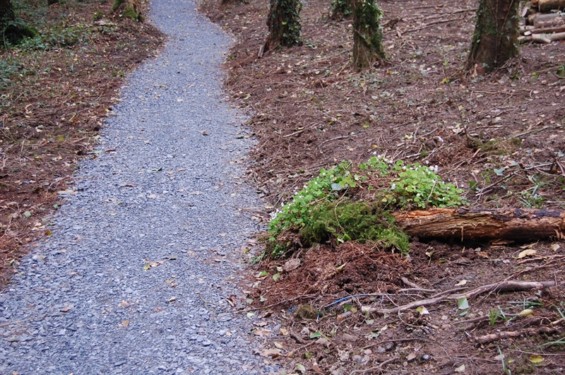
This trail has an even surface throughout and is narrow in places, with some steeper gradients and numerous gates to open and close.
Please ensure all gates are closed after passing through. Many of these enclose livestock.
Users MUST follow the direction of travel as indicated by the waymarkers – this will enable you to see oncoming users, especially horses (where trails are multi use)
* Please note that National Trust entrance pricing applies for this walk. Please see the link below for details *
TRAIL INFORMATION
Starting in the Shore Car Park, this circular trail leads along the shore of Strangford Lough and then around Audley's Castle through the surrounding woodland.
After crossing the Audleystown Road, looking out for traffic coming in both directions, the trail leads firstly through some woodland before leading through West Park - an area of historic farmland. Back into the woodland at Mallard Plantation, the trail narrows and branches left. Look out for cyclists on singletrack sections such as this.
After crossing Downpatrick Ave and a short 100m section on road, the trail leads left into Tullyratty an area of farmland designated as an Area of Special Scientific Interest (ASSI), due to the species rich grassland. Back into the woodland of Mountain Wood, follow the singletrack trail to Base Camp. After crossing the bridge continue on more singletrack meandering through woods and fields to reach the main entrance to the property. Cross with caution and look out for vehicles travelling in both directions.
Continue on through the historic grounds of Windmill Plantation and cross Church Walk with a view of Castle Ward house to the left. The trail then leads down through the Deer Park on the final singletrack descent to Strangford Avenue and the Shore Car Park. Again look out for other users and vehicles where you join Strangford Ave.
The trail is suitable for competent cyclists and walkers - expect other users on the trails - cyclists on the singletrack sections and horses and cyclists on the wider multi use sections.
This trail has an even surface throughout and is narrow in places, with some steeper gradients and numerous gates to open and close.
Please ensure all gates are closed after passing through. Many of these enclose livestock.
Users MUST follow the direction of travel as indicated by the waymarkers – this will enable you to see oncoming users, especially horses (where trails are multi use)
* Please note that National Trust entrance pricing applies for this walk. Please see the link below for details *
GETTING TO THE START
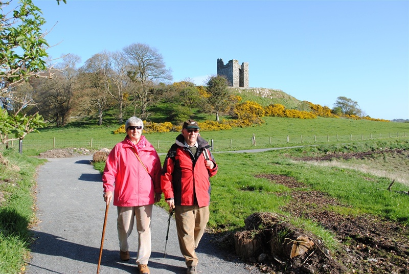
- Point of Interest Built & natural heritage including Farm Yard, Audley's Castle, Castle Ward House and Strangford Lough and its wildlife.
- Facilities Car park, toilets, gift shop, tea room, bike hire. The following facilities are available for users with limited mobility: – Café (wheelchair accessible) – Disabled parking – Disabled toilets.
- Dog Policy Keep dogs on a lead or under control at all times
- Accessibility Information
Accessibility Grade: Grade 5 Terrain: Off road trails narrow in places Toilet Facility: No Signage: No - Getting to the Start Parking for walkers is in the Shore Car Park within Castle Ward Demesne. The car park is clearly signed from the main entrance drive. There is an information panel and map in the Shore Car Park.
- Public Transport Translink – journeyplanner.translink.co.uk
- Level of Difficulty
 Strenuous
Physically demanding, narrow trails with steep climbs and descents over short and long distances. Expect the surface to be uneven and changeable throughout with natural surfaces like grass, exposed rock and trodden earth. The surface may change suddenly and be unstable in places. There will be slippery sections when wet and large, frequent obstacles like exposed roots, large boulders, overgrown sections, uneven stiles and long stretches of uneven steps.
Outdoor clothing and sturdy footwear are recommended.