1.9 miles
Loop
Moderate
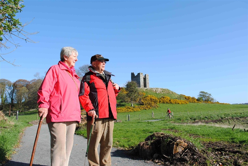
Castle Ward Castle Trail
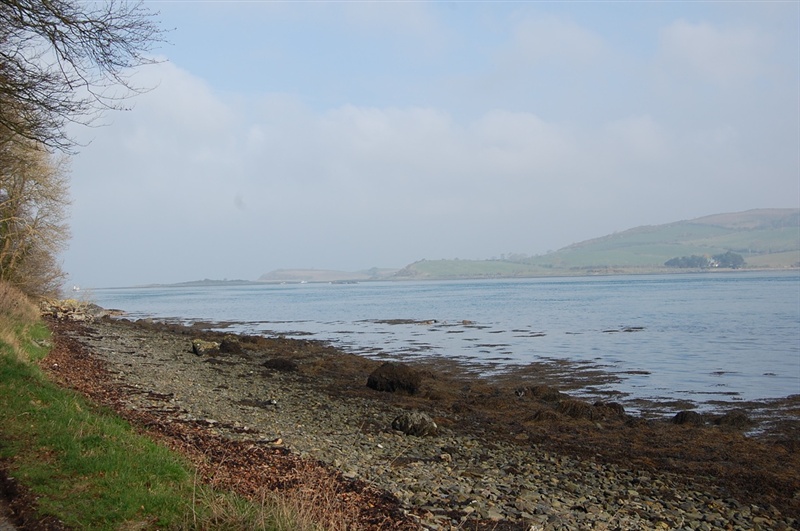
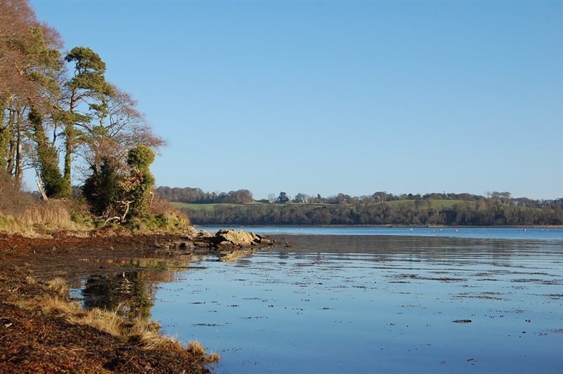
This walking trail leads along the shore of Strangford Lough and then through Audley's wood before returning to the farmyard on the minor Audleystown Road. This trail leads through fields where there may be livestock.
Follow the PINK waymarker disks with the words 'Castle Trail' around the edge.
TRAIL INFORMATION
Starting in the Shore Car Park, this circular trail leads along the shore of Strangford Lough and then around Audley's Castle through the surrounding woodland. On reaching the Audleystown Road, turn left and follow this minor road back to the Farm Yard.
Expect other users on the trails - including a range of walkers and horses.
The off road section of this trail has an even surface throughout.
The road section is along a minor road.
Please ensure all gates are closed after passing through. Many of these enclose livestock.
Users MUST follow the direction of travel as indicated by the waymarkers – this will enable you to see oncoming users, especially horses (where trails are multi use).
* Please note that National Trust entrance pricing applies for this walk. Please see the link below for details *
GETTING TO THE START
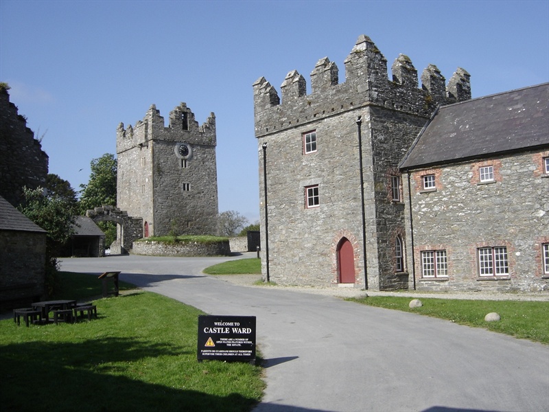
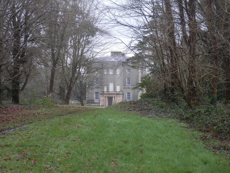
- Point of Interest The Farm Yard, Audley's Castle & Castle Ward House.
- Facilities Car park, toilets, tea room, bike hire, gift shop, book shop. The following facilities are available for users with limited mobility: – Café (wheelchair accessible) – Disabled parking – Disabled toilets.
- Dog Policy Keep dogs under control at all times
- Accessibility Information
Accessibility Grade: Grade 5 Terrain: Off road level path & minor road Toilet Facility: No Signage: No - Getting to the Start Parking for walkers is in the Shore Car Park within Castle Ward Demesne. The car park is clearly signed from the main entrance drive. There is an information panel and map in the Shore Car Park.
- Public Transport Translink – journeyplanner.translink.co.uk
- Level of Difficulty
 Moderate
Moderately challenging trails of varying widths with some short, steep climbs and descents. The surface may vary throughout, be slippery and uneven in places. Expect there to be obstacles like exposed roots, narrow gates, stiles and long sets of steps.
Outdoor clothing and sturdy footwear are recommended.