2.4 miles
Loop
Moderate
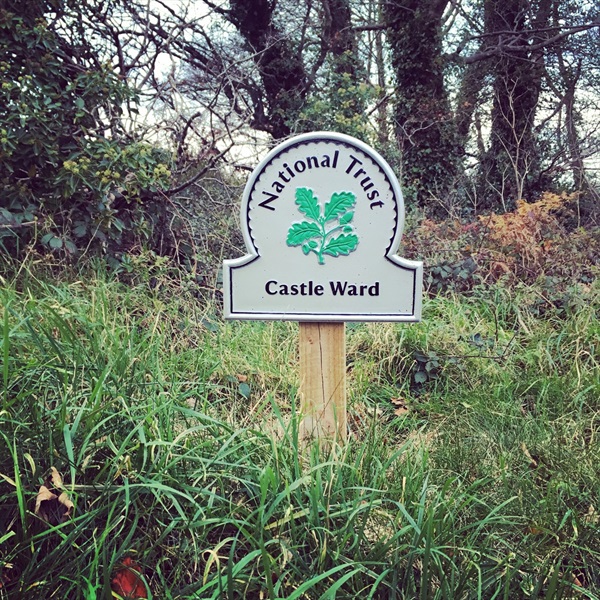
Castle Ward Farm Trail
This trail leads along the shores of Strangford Lough and then winds through the woodlands surrounding Audleys Castle. The trail then leads through farmland before a narrow trail leads back to the car park.
This trail leads through fields where there may be livestock.
Follow the ORANGE waymarker disks with the words 'Farm Trail' around the edge.
TRAIL INFORMATION
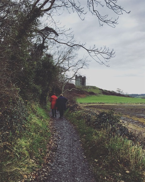
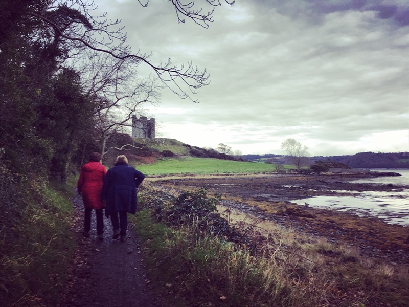
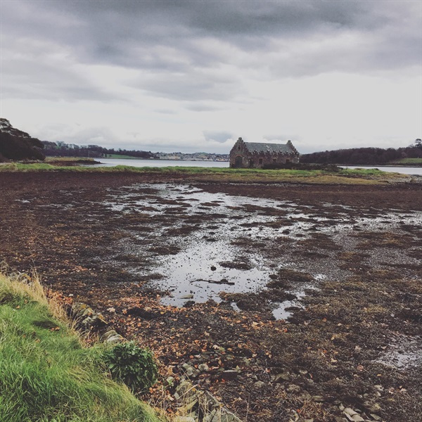
Starting in the Shore Car Park, this circular trail leads along the shore of Strangford Lough and then around Audley's Castle through the surrounding woodland.
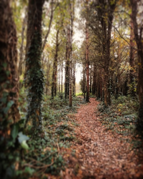
After crossing the Audleystown Road (look out for vehicles coming in both directions), the trail leads firstly through some woodland and then some open fields. After passing the back of the old walled garden with its high red brick wall, keep left and follow the trail through a short singletrack section through woodland.
The trail then leads along an old farm track, before turning left downhill and through an underpass. Turn left onto the final descent through the dense laurel.
Turn right to reach the Shore Car Park.
Expect other users on the trails - cyclists on the singletrack sections and horses and cyclists on the wider multi use sections.
This trail has an even surface throughout and is narrow in places, with some steeper gradients and numerous gates to open and close.
Please ensure all gates are closed after passing through. Many of these enclose livestock.
Users MUST follow the direction of travel as indicated by the waymarkers – this will enable you to see oncoming users, especially horses (where trails are multi use).
Please note there is a 100m diversion along this trail between March and November due to cattle in the field. Signage is in place.
* Please note that National Trust entrance pricing applies for this walk. *
TRAIL INFORMATION
Starting in the Shore Car Park, this circular trail leads along the shore of Strangford Lough and then around Audley's Castle through the surrounding woodland.
After crossing the Audleystown Road (look out for vehicles coming in both directions), the trail leads firstly through some woodland and then some open fields. After passing the back of the old walled garden with its high red brick wall, keep left and follow the trail through a short singletrack section through woodland.
The trail then leads along an old farm track, before turning left downhill and through an underpass. Turn left onto the final descent through the dense laurel.
Turn right to reach the Shore Car Park.
Expect other users on the trails - cyclists on the singletrack sections and horses and cyclists on the wider multi use sections.
This trail has an even surface throughout and is narrow in places, with some steeper gradients and numerous gates to open and close.
Please ensure all gates are closed after passing through. Many of these enclose livestock.
Users MUST follow the direction of travel as indicated by the waymarkers – this will enable you to see oncoming users, especially horses (where trails are multi use).
Please note there is a 100m diversion along this trail between March and November due to cattle in the field. Signage is in place.
* Please note that National Trust entrance pricing applies for this walk. *
GETTING TO THE START
- Point of Interest Strangford Lough, Seals, Castle Ward Farm Yard, Audley's Castle, Old Walled Garden, Standing Stone
- Facilities Car park, toilets, tea room, gift shop, bike hire. The following facilities are available for users with limited mobility: – Café (wheelchair accessible) – Disabled parking – Disabled toilets.
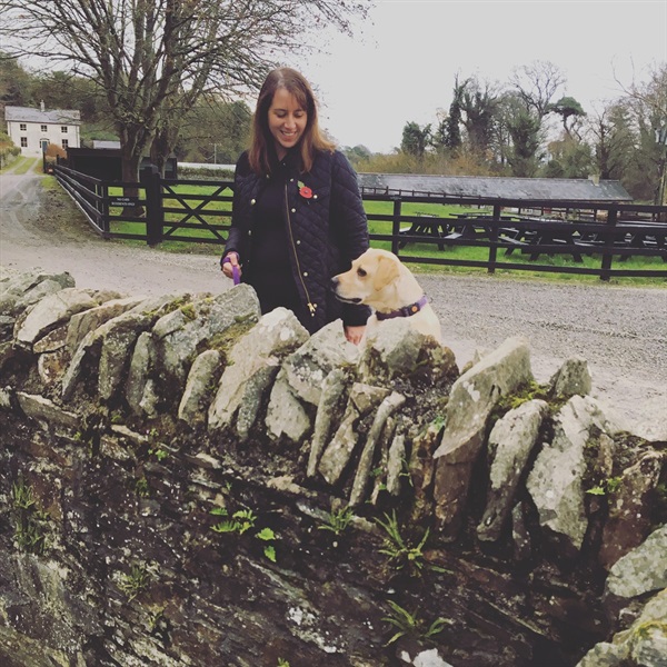
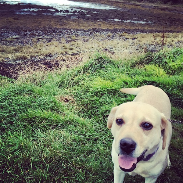
- Dog Policy Keep dogs on a lead or under control at all times
- Accessibility Information
Accessibility Grade: Grade 5 Terrain: Level paths & road crossing Toilet Facility: No Signage: No - Getting to the Start Parking for walkers is in the Shore Car Park within Castle Ward Demesne. The car park is clearly signed from the main entrance drive. There is an information panel and map in the Shore Car Park.
- Public Transport Translink – journeyplanner.translink.co.uk
- Level of Difficulty
 Moderate TRAIL GRADE DISCLAIMER
 The trail grades shown on OutmoreNI.com and WalkNI.com are based on desk-based assessments of available trail information. The categories—Easy, Moderate, Strenuous, and Very Strenuous—follow the Sustainable Trails Development Guide grading system.
These grades are provided as a general guide to help users choose trails that may be suitable for them. They are not a substitute for official, on-site grading or safety information provided by the relevant land manager, which may differ from the information on these websites.
Outdoor activities involve inherent risks, including the risk of injury, death, property damage, and other hazards. By using information from OutmoreNI.com and WalkNI.com, you acknowledge that you do so at your own risk. OutmoreNI.com and WalkNI.com accept no responsibility or liability for any loss, injury, or damage arising from the use of this information.
Conditions on trails can change, and the actual environment may differ from what is described online. Users should always exercise their own judgment, take appropriate precautions, and remain responsible for their own safety and conduct at all times.
All information provided on OutmoreNI.com and WalkNI.com is intended as a guide only and should be used alongside your own experience, awareness, and careful decision-making.
Moderately challenging trails of varying widths with some short, steep climbs and descents. The surface may vary throughout, be slippery and uneven in places. Expect there to be obstacles like exposed roots, narrow gates, stiles and long sets of steps.
Outdoor clothing and sturdy footwear are recommended.