2.2 miles
Loop
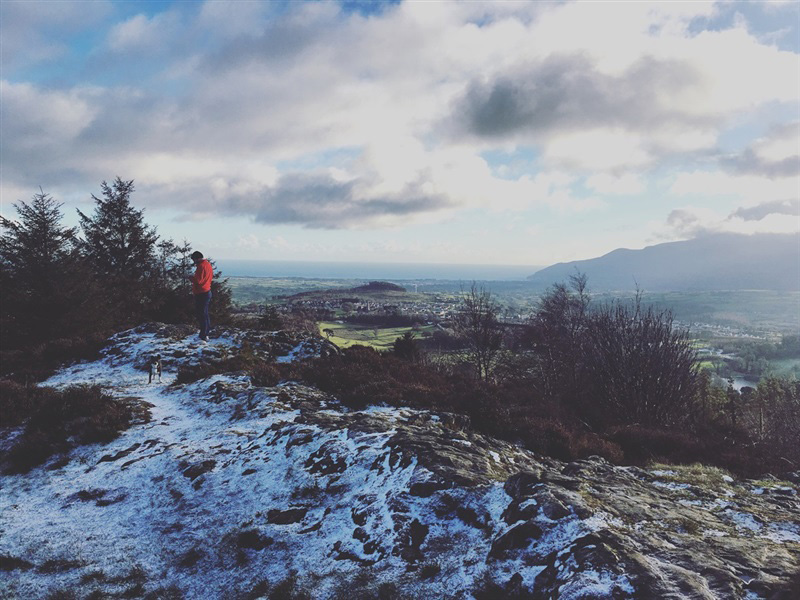
Castlewellan Forest Park - Slievenaslat Walk
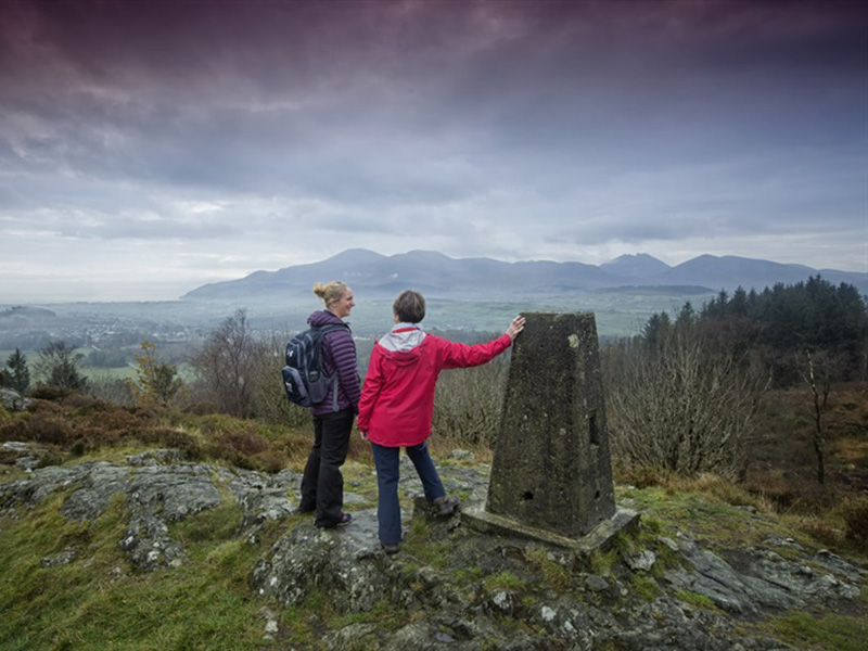
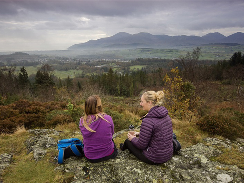
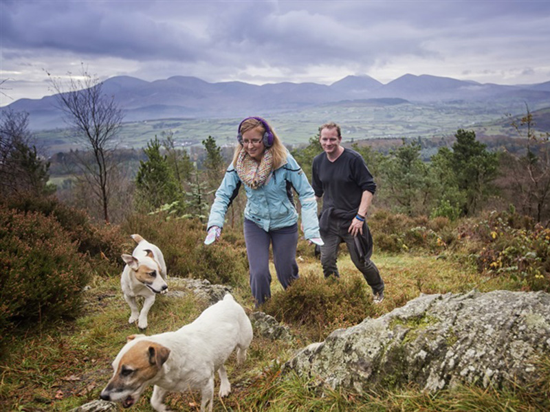
This steep climb through the forest provides a series of viewpoints offering panoramic views of the Mourne Mountains and surrounding drumlin landscape of Co Down.
TRAIL INFORMATION
Part of the new Castlewellan Walking Trails launched in November 2014, this trail is signposted from the Lakeside car park – follow the yellow waymarkers.
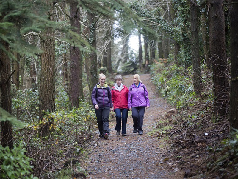
The most strenuous walk in the Park, this trail is rocky in places with numerous steps both up and down. As such it is suitable for those with a higher level of fitness and stamina.
Starting at the Lakeside Car Park, follow the north side of the lake before starting the steep climb to the summit of Slievenaslat (272 metres). Openings within the forest and the summit itself provide panoramic views of the Mourne Mountains and the drumlin landscape of Co.Down before commencing your descent.
This is a ‘Strenuous’ trail suitable for those with a high level of fitness and stamina. Extremley variable and uneven surface including large loose material including rocks and roots. It includes long steep climbs and descents.
This walk is situated in a working forest environment and may be subject to diversion and closure from time to time.
Up to date information is available on the Forest Service web site.
TRAIL INFORMATION
Part of the new Castlewellan Walking Trails launched in November 2014, this trail is signposted from the Lakeside car park – follow the yellow waymarkers.
The most strenuous walk in the Park, this trail is rocky in places with numerous steps both up and down. As such it is suitable for those with a higher level of fitness and stamina.
Starting at the Lakeside Car Park, follow the north side of the lake before starting the steep climb to the summit of Slievenaslat (272 metres). Openings within the forest and the summit itself provide panoramic views of the Mourne Mountains and the drumlin landscape of Co.Down before commencing your descent.
This is a ‘Strenuous’ trail suitable for those with a high level of fitness and stamina. Extremley variable and uneven surface including large loose material including rocks and roots. It includes long steep climbs and descents.
This walk is situated in a working forest environment and may be subject to diversion and closure from time to time.
Up to date information is available on the Forest Service web site.
GETTING TO THE START
From Castlewellan the forest is signposted from Main Street.
- Point of Interest Views of the Mourne Mountains, Castlewellan Castle, lake and gardens
- Facilities Car park (fee charged), café, toilets (disabled access), picnic areas, The Peace Maze, Activity Centre, lecture room/ classroom, camping & caravaning, orienteering route, mountain bike trails. The following facilities are available for users with limited mobility: – Café (wheelchair accessible) – Disabled toilets – Disabled parking.
- Accessibility Information
Accessibility Grade: Grade 5 Terrain: Strenuous including steep climbs Toilet Facility: No Signage: No - Getting to the Start From Castlewellan the forest is signposted from Main Street.
- Public Transport Translink – journeyplanner.translink.co.uk