1.1 miles
Loop
Easy
Clare Glen
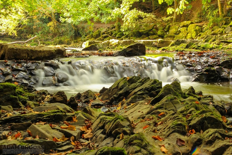
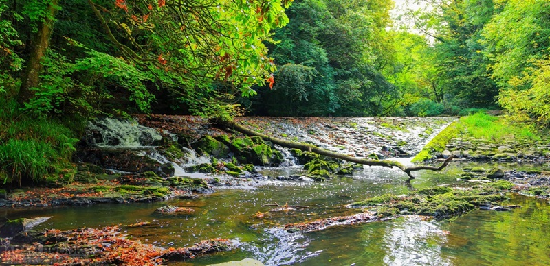
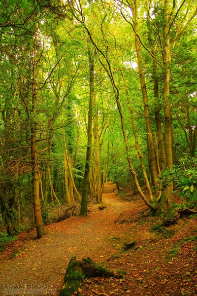
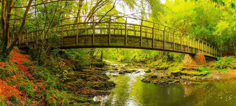
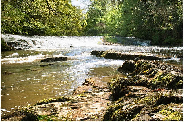
Clare Glen can be described as a delightful walk along the banks of the River Cusher in County Armagh. Many of the trees in the wood are multistemmed and the wood may have been managed by coppicing in the past. Hazel is abundant, with oak, ash and wych elm over a stunning ground layer of wood anemone, wild garlic and bluebells, and several different species of orchid (when in season).
TRAIL INFORMATION
There are a number of colour coded waymarked trails within Clare Glen so you can either follow one of these trails or mix and match them.
The Glen View Trail (linear, 1.1 miles) is on the eastern side of the Cusher River and gives a birds eye view of the unique landscape of the glen. It can be linked with either the River Trail or the Bluebell Trail to form a circular route that is 2.2 miles in length. Care is needed due to steep sections and it is not suitable for wheelchairs or pushchairs.
The River Trail (linear, 1.1 miles) is on the western side of the river, and can be described as a pleasant amble along the rivers edge. Its low gradients are suitable for all levels of fitness including wheelchair and pushchair users.
The Bluebell Trail (linear, 1 mile), provides an ideal opportunity to view the steep sides of the glen along with its associated flora and fauna. Care is needed due to steep sections and it is not suitable for wheelchairs or pushchairs.
GETTING TO THE START
- Point of Interest River Cusher, beautiful woodland
- Facilities Toilet facilities at the caravan park. Other facilities in the town of Tandragee.
- Dog Policy Dogs must be kept under control
- Accessibility Information
Accessibility Grade: Grade 4 Terrain: flat, gravel path Toilet Facility: No Signage: No - Getting to the Start From Tandragee, take the Markethill Road and proceed for 1 mile (1.6km). Clare Glen is situated on the left.
- Public Transport Translink – journeyplanner.translink.co.uk
- Level of Difficulty
 Easy TRAIL GRADE DISCLAIMER
 The trail grades shown on OutmoreNI.com and WalkNI.com are based on desk-based assessments of available trail information. The categories—Easy, Moderate, Strenuous, and Very Strenuous—follow the Sustainable Trails Development Guide grading system.
These grades are provided as a general guide to help users choose trails that may be suitable for them. They are not a substitute for official, on-site grading or safety information provided by the relevant land manager, which may differ from the information on these websites.
Outdoor activities involve inherent risks, including the risk of injury, death, property damage, and other hazards. By using information from OutmoreNI.com and WalkNI.com, you acknowledge that you do so at your own risk. OutmoreNI.com and WalkNI.com accept no responsibility or liability for any loss, injury, or damage arising from the use of this information.
Conditions on trails can change, and the actual environment may differ from what is described online. Users should always exercise their own judgment, take appropriate precautions, and remain responsible for their own safety and conduct at all times.
All information provided on OutmoreNI.com and WalkNI.com is intended as a guide only and should be used alongside your own experience, awareness, and careful decision-making.
Relatively flat or gently rolling trails with a mostly smooth surface. You might come across some obstacles like bridges, gates and steps.
Normal clothing and footwear can be worn.