3.9 miles
Linear
Moderate
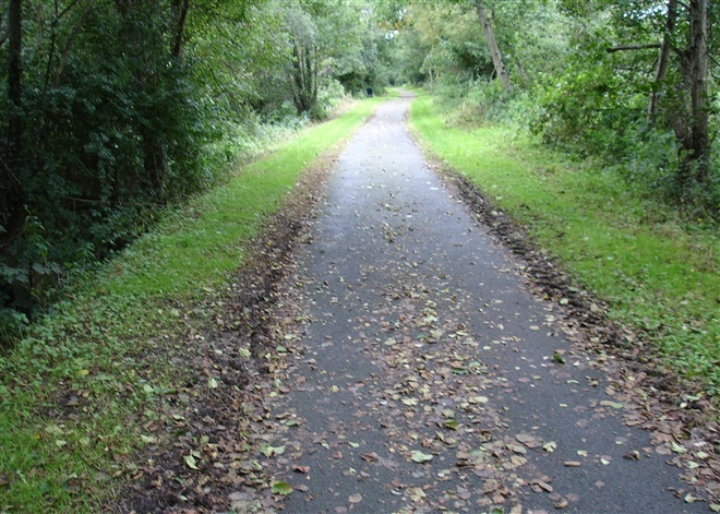
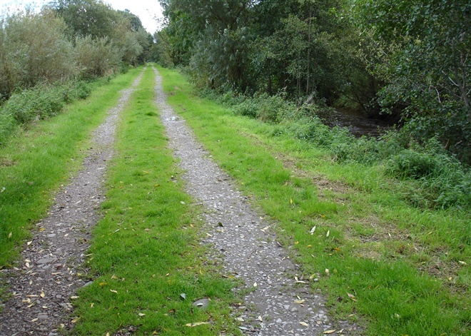
Coalisland Canal Walk
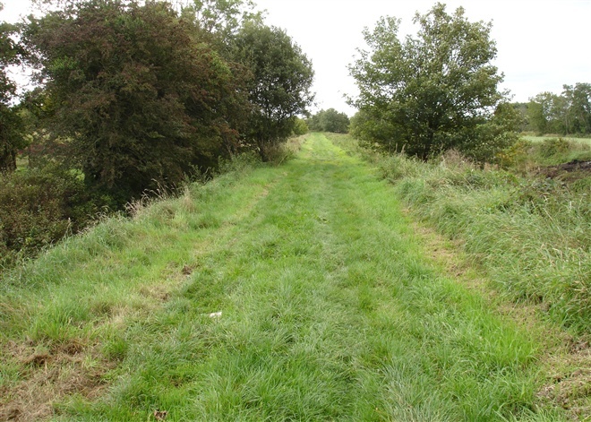
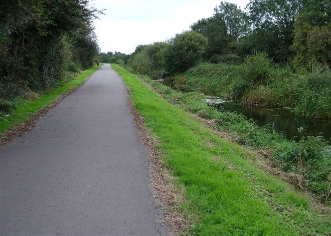
This is a walk along the towpath of the Coalisland Canal.
The Canal was opened in 1789 to bring coal from Coalisland to Dublin via the River Blackwater, Lough Neagh and Newry Canal. Coalisland acted as an inland port with lighters carrying grain for the mills and provisions for the surrounding towns.
Between Macks Bridge and Moor Bridge the River Torrent is one side of the Towptath and the canal is on the other.
TRAIL INFORMATION
The walk begins at the Cornmill in Coalisland town centre. The towpath is a straight walk along the 4.5 mile stretch.
However, it has three sections after about 1 mile walkers will have to cross the Gortgonis Road at Macks bridge to access the second section of the walk .A further half mile along this pathway will lead to the busy Moor road at McAliskeys lock ,once again you must cross this road to connect to the last part of the walk, the final 3miles will lead to the Reenaderry Road where the canal path ends , this is known as The Point where the canal meets the Blackwater river.
GETTING TO THE START
- Point of Interest Seven locks including a staircase lock at Macks Bridge.
- Facilities Refreshments are available in a number of cafes and restaurants in Coalisland. PublicToilets are also available in the town centre and have disability access. Disabled car parking is also available at the Cornmill .
- Dog Policy Dogs are allowed but must be kept under control.
- Getting to the Start Take turn off for junction 14 on the M1 motorway and follow the A45 to Coalisland. Park at Cornmill carpark in the centre of Coalisland.Exit the carpark opposite Dorman's chemist, turn left and walk 100 yards until you come to the dam lock.
- Public Transport Translink – journeyplanner.translink.co.uk
- Level of Difficulty
 Moderate TRAIL GRADE DISCLAIMER
 The trail grades shown on OutmoreNI.com and WalkNI.com are based on desk-based assessments of available trail information. The categories—Easy, Moderate, Strenuous, and Very Strenuous—follow the Sustainable Trails Development Guide grading system.
These grades are provided as a general guide to help users choose trails that may be suitable for them. They are not a substitute for official, on-site grading or safety information provided by the relevant land manager, which may differ from the information on these websites.
Outdoor activities involve inherent risks, including the risk of injury, death, property damage, and other hazards. By using information from OutmoreNI.com and WalkNI.com, you acknowledge that you do so at your own risk. OutmoreNI.com and WalkNI.com accept no responsibility or liability for any loss, injury, or damage arising from the use of this information.
Conditions on trails can change, and the actual environment may differ from what is described online. Users should always exercise their own judgment, take appropriate precautions, and remain responsible for their own safety and conduct at all times.
All information provided on OutmoreNI.com and WalkNI.com is intended as a guide only and should be used alongside your own experience, awareness, and careful decision-making.
Moderately challenging trails of varying widths with some short, steep climbs and descents. The surface may vary throughout, be slippery and uneven in places. Expect there to be obstacles like exposed roots, narrow gates, stiles and long sets of steps.
Outdoor clothing and sturdy footwear are recommended.