34.5 miles
Loop
Craigavon Cycle Trail
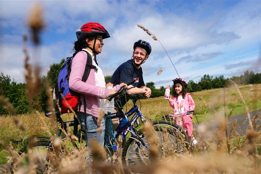
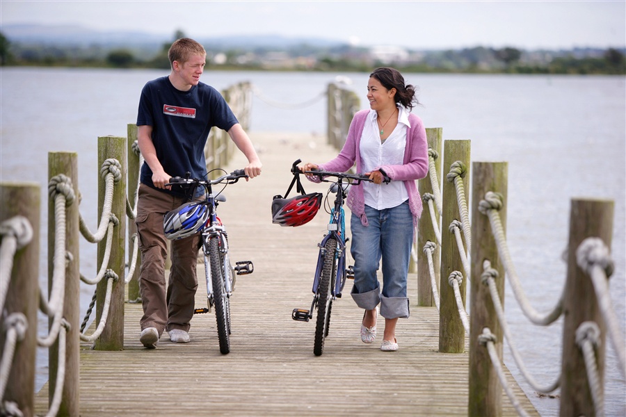
This easy-going trail passes through a landscape of waterways and picturesque old coaching roads, with over a third of the way on traffic-free paths. Following routes 9 and 94 of the National Cycle Network you will make your way along the shores of Lough Neagh passing other attractions such as the Point of Whitecoat Bridge, Moneypenny's Lock and Oxford Island.
TRAIL INFORMATION
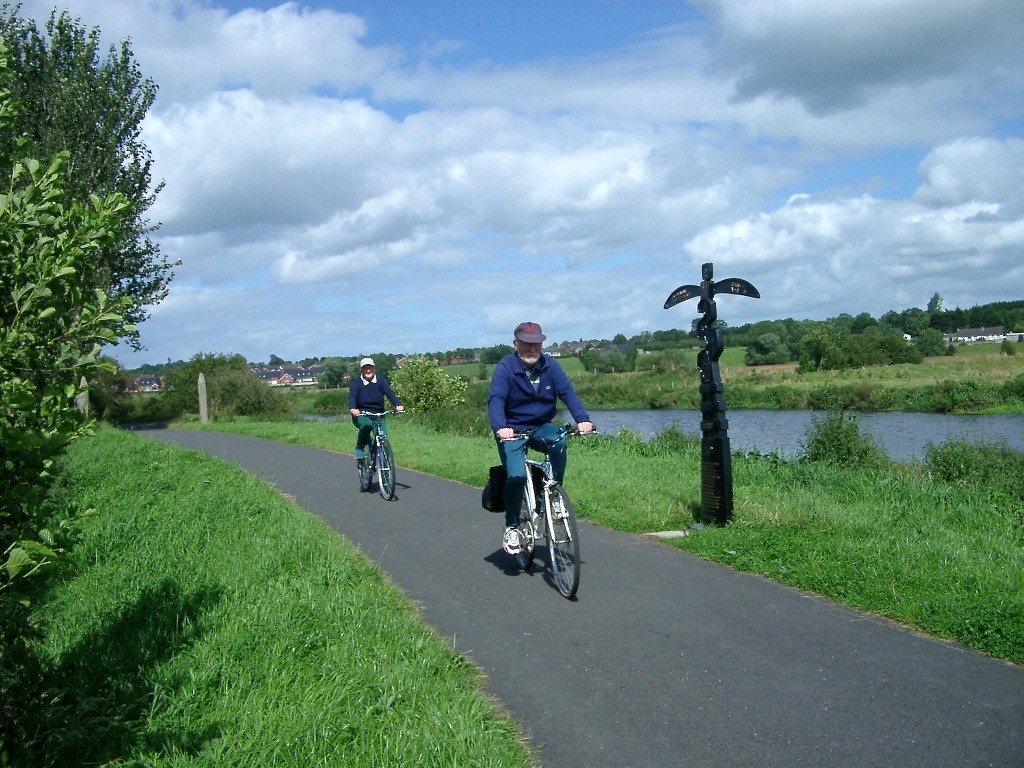
Push off from the Bann Bridge in Portadown, head south on the towpath along the River Bann to the Point of Whitecoat bridge where the Newry Canal Towpath begins. Shortly after crossing the footbridge you will pass Moneypenny's Lock and Lightermen's Bothy before reaching Knock Bridge where you leave the towpath. Heading north, you pass the ancient Lisamintry Rath and into Waringstown, with a chance to experience great views of Slieve Croob and the Mournes.
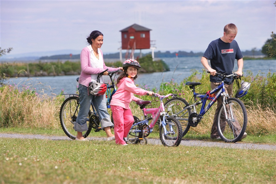
Oxford Island Nature Reserve on Lough Neagh's Shore is further on. The view from here is one of the best across Europe's 5th largest lake. From here, join Routes 9 & 94 towards Craigavon and the City Park. Craigavon is served by an extensive network of cycle paths taking you back to Portadown to the finish.
TRAIL INFORMATION
Push off from the Bann Bridge in Portadown, head south on the towpath along the River Bann to the Point of Whitecoat bridge where the Newry Canal Towpath begins. Shortly after crossing the footbridge you will pass Moneypenny's Lock and Lightermen's Bothy before reaching Knock Bridge where you leave the towpath. Heading north, you pass the ancient Lisamintry Rath and into Waringstown, with a chance to experience great views of Slieve Croob and the Mournes.
Oxford Island Nature Reserve on Lough Neagh's Shore is further on. The view from here is one of the best across Europe's 5th largest lake. From here, join Routes 9 & 94 towards Craigavon and the City Park. Craigavon is served by an extensive network of cycle paths taking you back to Portadown to the finish.
GETTING TO THE START
Translink provide regular bus services from Belfast to Portadown. By car, take M1 from Belfast and join M12 signposted Portadown. The motorway will then join the A3 which leads to the Bann Bridge and Portadown town centre.
- Facilities Refreshment and toilet facilities are available at the Portadown Town Centre. Disabled car parking is available at Oxford Island, Portadown Boat Club and Craigavon Lakes. There are bike stands at each of these facilities too.
- Getting to the Start Translink provide regular bus services from Belfast to Portadown. By car, take M1 from Belfast and join M12 signposted Portadown. The motorway will then join the A3 which leads to the Bann Bridge and Portadown town centre.
- Traffic Information 12 miles of this trail is on traffic free paths with the remainder on minor roads with light traffic. There are parts where the trail crosses main roads.
- Bike Hire Providers Craigavon Watersports Centre 1 Lake Road Craigavon www.getactiveabc.com Email: golfskiwatersports@armaghbanbridgecraigavon.gov.uk Phone: 028 3834 2669 http://www.getactiveabc.com
- Accessible Facilities The gentle terrain of this route is suitable for tandems however there are occasions when cyclists may need to dismount, e.g. coming to barriers before crossing a public road. Tandems are not available for hire from the Watersports Centre.