3 miles
Loop
Easy
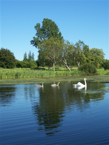
Craigavon Lakes
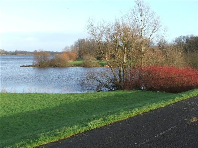
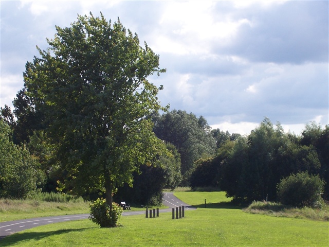
An extensive network of walking and cycling paths are set within the Parkland around the Craigavon Lakes and are suitable for disabled users and families and incorporate the National Cycle Network Route 9. The route around the two lakes is 3 miles, but there are many more paths besides.
TRAIL INFORMATION
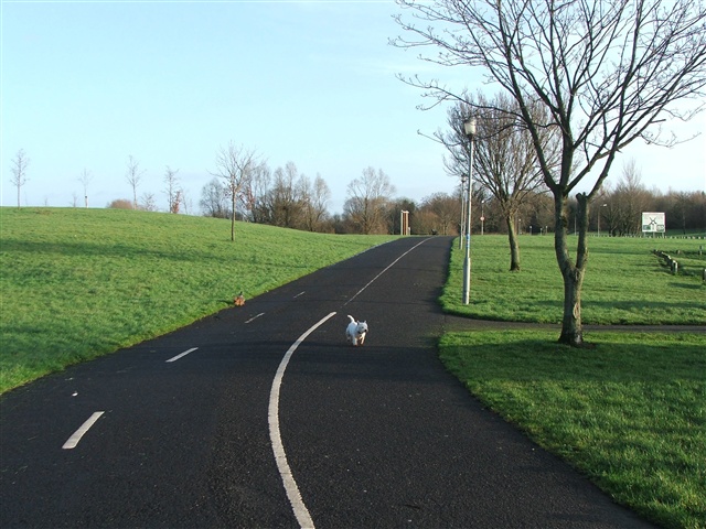
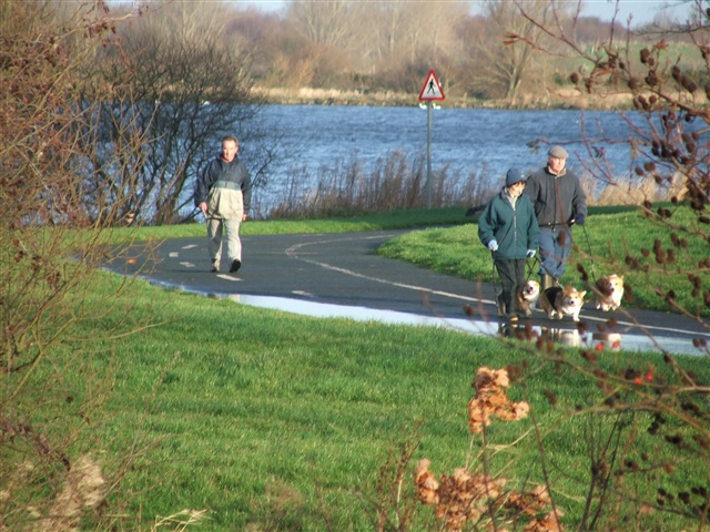
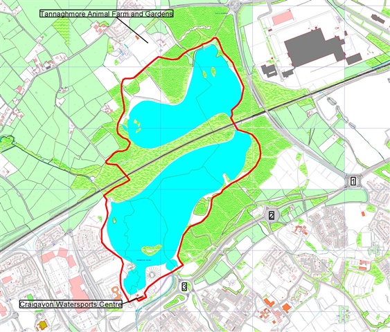
From the Craigavon Watersports Centre car park, start walking on the wide tarmac path beside the lake and walk in either a clockwise or anti-clockwise direction, keeping the lake to one side. For the first half of the walk, follow the signs for Tannaghmore Gardens. Once you have reached the gardens, follow the signs for Craigavon Water Sports Centre to return to the car park. During the walk, you will come to two bridges. You must pass under these in order to complete the circuit of both lakes. It will take approximately 45mins – 1hr to complete the walk and at one point you may be up to 100metres from the waters edge.
When you approach the railway line, you may want to take a short detour into the Local Nature Reserve on either side of the railway line, to view the wildflowers, butterflies and orchids, however it should be noted that the path for this walk has yet to be laid and is therefore currently unsuitable for disabled users and pushchairs.
TRAIL INFORMATION
From the Craigavon Watersports Centre car park, start walking on the wide tarmac path beside the lake and walk in either a clockwise or anti-clockwise direction, keeping the lake to one side. For the first half of the walk, follow the signs for Tannaghmore Gardens. Once you have reached the gardens, follow the signs for Craigavon Water Sports Centre to return to the car park. During the walk, you will come to two bridges. You must pass under these in order to complete the circuit of both lakes. It will take approximately 45mins – 1hr to complete the walk and at one point you may be up to 100metres from the waters edge.
When you approach the railway line, you may want to take a short detour into the Local Nature Reserve on either side of the railway line, to view the wildflowers, butterflies and orchids, however it should be noted that the path for this walk has yet to be laid and is therefore currently unsuitable for disabled users and pushchairs.
GETTING TO THE START
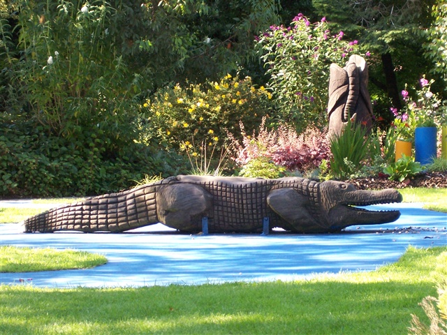
- Point of Interest Craigavon Watersports Centre, Tannaghmore Gardens
- Facilities Toilets and refreshments are available from the Craigavon Watersports Centre and Tannaghmore Animal Farm. The following facilities are available for users with limited mobility: – Disabled toilets – Disabled parking.
- Accessibility Information
Accessibility Grade: Grade 3 Terrain: Varied surfaces & shared paths Toilet Facility: No Signage: No - Getting to the Start From the M1 take junction 10 and follow signs to Craigavon Centre. Look for signs to the Watersports Centre at roundabout 3.
- Public Transport Translink – journeyplanner.translink.co.uk
- Level of Difficulty
 Easy TRAIL GRADE DISCLAIMER
 The trail grades shown on OutmoreNI.com and WalkNI.com are based on desk-based assessments of available trail information. The categories—Easy, Moderate, Strenuous, and Very Strenuous—follow the Sustainable Trails Development Guide grading system.
These grades are provided as a general guide to help users choose trails that may be suitable for them. They are not a substitute for official, on-site grading or safety information provided by the relevant land manager, which may differ from the information on these websites.
Outdoor activities involve inherent risks, including the risk of injury, death, property damage, and other hazards. By using information from OutmoreNI.com and WalkNI.com, you acknowledge that you do so at your own risk. OutmoreNI.com and WalkNI.com accept no responsibility or liability for any loss, injury, or damage arising from the use of this information.
Conditions on trails can change, and the actual environment may differ from what is described online. Users should always exercise their own judgment, take appropriate precautions, and remain responsible for their own safety and conduct at all times.
All information provided on OutmoreNI.com and WalkNI.com is intended as a guide only and should be used alongside your own experience, awareness, and careful decision-making.
Relatively flat or gently rolling trails with a mostly smooth surface. You might come across some obstacles like bridges, gates and steps.
Normal clothing and footwear can be worn.