1.3 miles
Loop
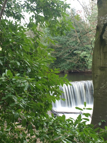
Crumlin Glen
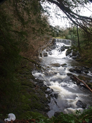
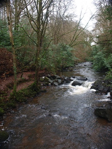
Rising to the east on the slopes of Divis Mountain, the Crumlin River has carved a short but deep glen here as it approaches the waters of Lough Neagh.
TRAIL INFORMATION
To start this short walk, follow the path at the far (west) end of the car park over a footbridge and uphill where you then turn left.
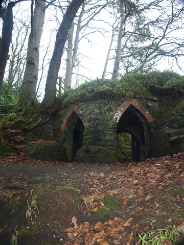
The walk passes through some beautiful woods, and then you soon turn left and follow the sign down to the Cockle House.
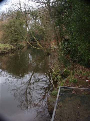
Then, continue down to the riverbank and follow the path along its side. You soon reach a footbridge over the river to your left. Cross it and follow the path leading away from the river.
This section of path leads to the Cidercourt Road. Turn right here, crossing Cidercourt Road almost immediately to join a public right of way leading to Main Street.
Turn left onto Main Street and then left again onto Mill Road, and proceed back to the starting point.
TRAIL INFORMATION
To start this short walk, follow the path at the far (west) end of the car park over a footbridge and uphill where you then turn left.
The walk passes through some beautiful woods, and then you soon turn left and follow the sign down to the Cockle House.
Then, continue down to the riverbank and follow the path along its side. You soon reach a footbridge over the river to your left. Cross it and follow the path leading away from the river.
This section of path leads to the Cidercourt Road. Turn right here, crossing Cidercourt Road almost immediately to join a public right of way leading to Main Street.
Turn left onto Main Street and then left again onto Mill Road, and proceed back to the starting point.
GETTING TO THE START
- Point of Interest Cockle House, herons and otters
- Facilities Fishing stands. The following facilities are available for users with limited mobility: – seasonal and with time restrictions – Disabled parking
- Accessibility Information
Accessibility Grade: Grade 5 Terrain: Off-road paths Toilet Facility: No Signage: No - Getting to the Start There are two ways to access this walk. 1. Crumlin Glen is signed off to the left on the Nutt's Corner Road in Crumlin, just before the railway bridge as you head out of the town. 2. There is another entrance off Cidercourt Road. Please note there is an entrance gate here (opening times 7am - 9pm April to Sept, 8am - 6pm Oct - March).
- Public Transport Translink – journeyplanner.translink.co.uk