27.4 miles
Loop
Cushendall
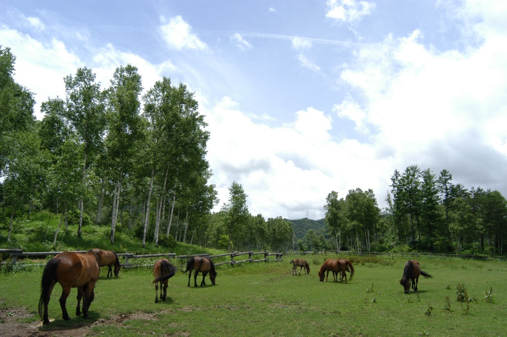
This route rises from sea-level to 290m and links the beaches at Waterfoot and Cushendun to the hills of the Antrim Plateau passing through some of the famous Glens of Antrim.
TRAIL INFORMATION
Leaving the centre of Cushendall Village travel North East along Shore Street before taking a left and a steep climb up the Layde Road. Continue along the Layde Road to the Hamlet of Knocknacarry. At this junction turn right along the B92 to Cushendun. Leaving Cushendun travel north along the Bayview Road swinging west past the Caravan Park. Travel straight along this road past the chapel on the left and onto the spectacular Glendun Viaduct. After passing under the viaduct, cyclists should continue slowly up Glendun with its wooded slopes giving way to open moorland. At the top of Glendun cyclists should turn left onto the Glenann Road and continue down Glenann until the juction with the Tromra Road A2. Turning right follow the road back to Cushendall.
Now back in Cushendall take the Coast Road through the Red Arch to Waterfoot. At the junction to the entrance of Waterfoot Village continue straight on along the A43 Glenariff Road which will take you on a steep climb to Glaenariff Forest Park.
After visiting the Forest Park return down the Glenariiff Road A43 for 2 miles before turning sharply right onto the minor Glen Road and continue down Glenariff Glen to the junction with the Garron Road. Turn left and continue through the village of Waterfoot back to Caushendall.
GETTING TO THE START
Contact Translink for Bus times. Ballycastle TIC Telphone: (028) 2076 2024 Email: tourism@moyle-council.org
- Facilities Refreshments available at Cushendall, Cushendun, Glenariff Forest Park and Waterfoot.
- Getting to the Start Contact Translink for Bus times. Ballycastle TIC Telphone: (028) 2076 2024 Email: tourism@moyle-council.org
- Traffic Information Following mainly minor roads which are sometimes hilly, the route also uses 3 miles of coast which can be busy.
- Bike Hire Providers Iron Donkey Bicycle Touring Iron Donkey Bicycle Touring 15 Ballyknockan Rd Saintfield Email: info@irondonkey.com Phone: 028 9081 3200 http://www.irondonkey.com
- Accessible Facilities Contact Ballycastle TIC for opening times