1.9 miles
Loop
Moderate
Darkley Forest - Mountain Lodge Trail
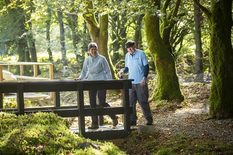
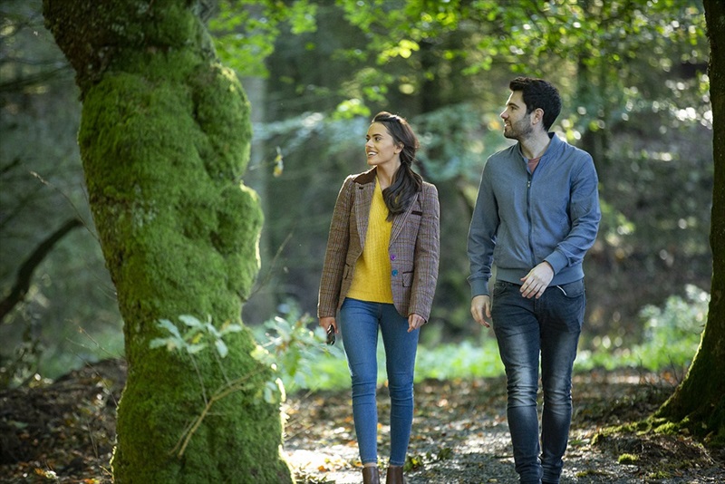
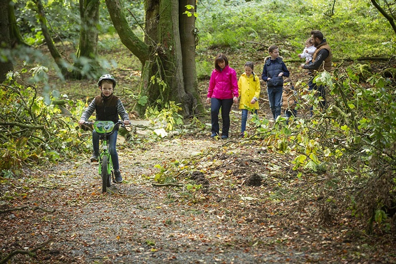
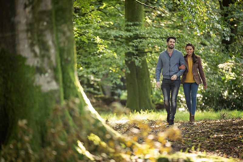
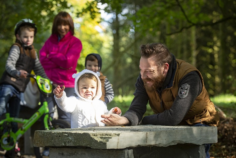
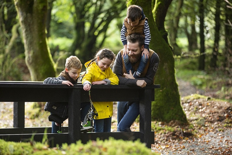
Darkley Forest Offers an enchantingly unique walking experience through a small and peaceful coniferous woodland. Discover this unspoilt hidden gem using its two walking routes along with the rich historic landscape of Darkley Village including Tyllynawood Lake and the old Linen Mill.
TRAIL INFORMATION
Mountain Lodge Trail is one of two trails within Darkely Forest. This is an engergetic walk taking approximately 1hour 15 mins to complete.
The trail follows the forest perimeter, leading walkers through a varied woodland overlooking the Callan River. Take a rest while enjoying the impressive viewpoints and enjoy the carpets of bluebells in springtime. A steady ascent leads back to the car park.
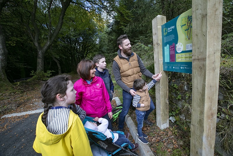
Finding your way about:
Follow the Mountain Lodge trail waymarker discs on the wooden posts located throughout the forest.
TRAIL INFORMATION
Mountain Lodge Trail is one of two trails within Darkely Forest. This is an engergetic walk taking approximately 1hour 15 mins to complete.
The trail follows the forest perimeter, leading walkers through a varied woodland overlooking the Callan River. Take a rest while enjoying the impressive viewpoints and enjoy the carpets of bluebells in springtime. A steady ascent leads back to the car park.
Finding your way about:
Follow the Mountain Lodge trail waymarker discs on the wooden posts located throughout the forest.
- Point of Interest Tullynawood Lake, Old Linen Mill, Moss & Fungi
- Facilities Car park
- Dog Policy Dogs must be kept on a lead
- Level of Difficulty
 Moderate TRAIL GRADE DISCLAIMER
 The trail grades shown on OutmoreNI.com and WalkNI.com are based on desk-based assessments of available trail information. The categories—Easy, Moderate, Strenuous, and Very Strenuous—follow the Sustainable Trails Development Guide grading system.
These grades are provided as a general guide to help users choose trails that may be suitable for them. They are not a substitute for official, on-site grading or safety information provided by the relevant land manager, which may differ from the information on these websites.
Outdoor activities involve inherent risks, including the risk of injury, death, property damage, and other hazards. By using information from OutmoreNI.com and WalkNI.com, you acknowledge that you do so at your own risk. OutmoreNI.com and WalkNI.com accept no responsibility or liability for any loss, injury, or damage arising from the use of this information.
Conditions on trails can change, and the actual environment may differ from what is described online. Users should always exercise their own judgment, take appropriate precautions, and remain responsible for their own safety and conduct at all times.
All information provided on OutmoreNI.com and WalkNI.com is intended as a guide only and should be used alongside your own experience, awareness, and careful decision-making.
Moderately challenging trails of varying widths with some short, steep climbs and descents. The surface may vary throughout, be slippery and uneven in places. Expect there to be obstacles like exposed roots, narrow gates, stiles and long sets of steps.
Outdoor clothing and sturdy footwear are recommended.