3.6 miles
Loop
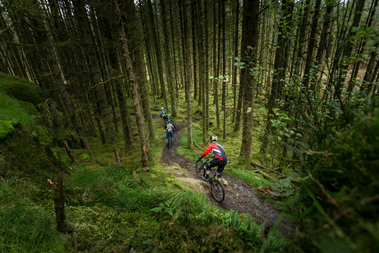
Davagh Forest Blue Trail
The blue trails at Davagh Forest will push mountain bikers through relatively challenging trails as you leave from the trailhead. It then encompasses some fire road, before taking you back into the forest.
Davagh Forest lies in an untouched rural landscape of rolling hills and sweeping forests.
Located approximately 6 miles north west of Cookstown, Davagh Forest offers gentle mountain biking and walking trails as well as an impressive 16km red trail with some rock slab drops you will never forget!
TRAIL INFORMATION
This trail follows the blue arrows with a series of fun twists and turns as you ascend from the upper car park.
Keep left at the fork junction on the forest road for an easy spin between woodland and open hillside.
On the return leg, you can pick up more speed and put your bike handling skills to the test on some fast flowing trails and more technical rocky sections.
Be aware; the optional rock slab features located off this trail should only be ridden by experienced mountain bikers.
GETTING TO THE START
Located approximately 50 miles from Belfast, Davagh Forest is signposted off the A505 Cookstown to Omagh Road at Dunnamore. If travelling from Draperstown, take the B47 through the village of Straw before bearing left on the Sixtowns Road. Turn left on the Davagh Road signed East Sperrins Scenic Route and after 3 miles the trailhead will be on your left hand side. TRAILHEAD POSTCODE: BT79 8JH
- Facilities N/A
- Getting to the Start Located approximately 50 miles from Belfast, Davagh Forest is signposted off the A505 Cookstown to Omagh Road at Dunnamore. If travelling from Draperstown, take the B47 through the village of Straw before bearing left on the Sixtowns Road. Turn left on the Davagh Road signed East Sperrins Scenic Route and after 3 miles the trailhead will be on your left hand side. TRAILHEAD POSTCODE: BT79 8JH
- Traffic Information N/A
- Bike Hire Providers Please note bike hire is not available on site: Sperrin Bike Hire provide bike hire but this must be booked in advance.
- Accessible Facilities N/A