2.8 miles
Loop
Strenuous
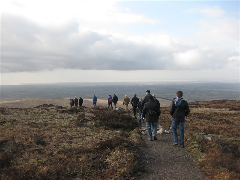
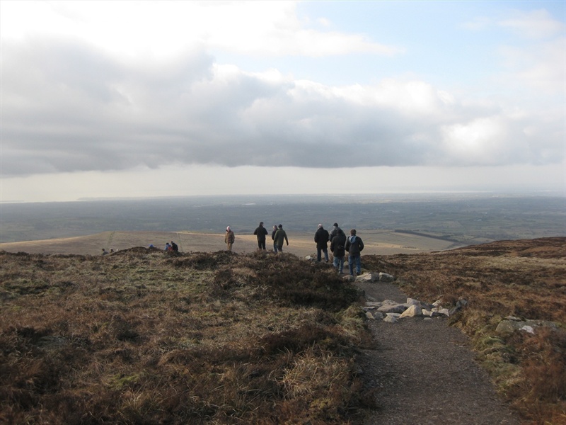
Divis Summit Trail
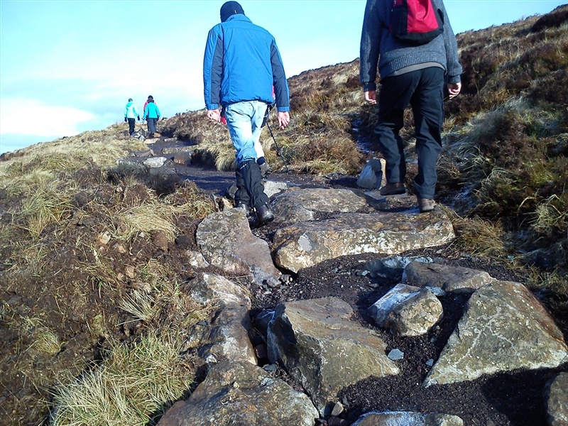
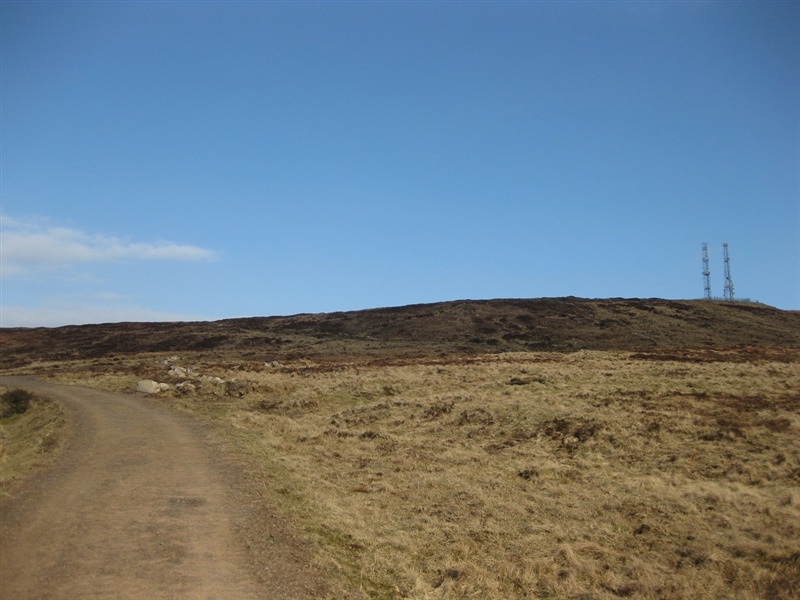
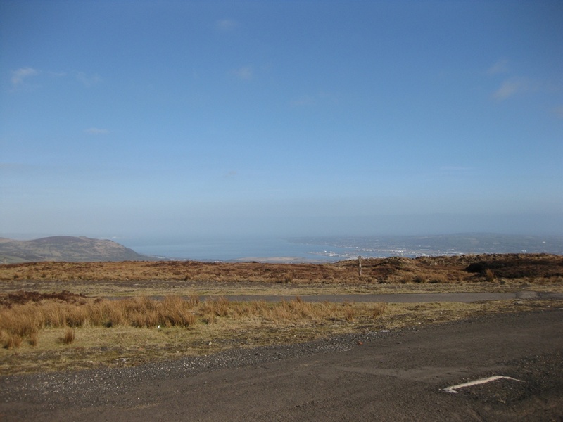
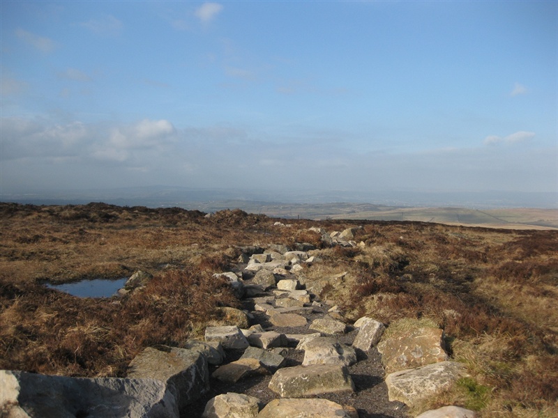
A specifically designed loop walk on Divis Mountain with spectacular views over Belfast and every county in Ulster as well as parts of Scotland and England. With stone pitching as its main feature, the Divis summit trail is designed to maintain the condition of the mountain slope while providing public access.
TRAIL INFORMATION
TRAIL INFORMATION
GETTING TO THE START
- Point of Interest Views of Belfast, Lough Neagh and the Irish Sea
- Facilities Divis Coffee BarnFree parkingToilet facilitiesAn open site with free access. Charge for guided tours onlyMobility parking spacesMobility toilet facilitiesWheelchair-accessible kissing gates to mountain. The following facilities are available for users with limited mobility: – Café (wheelchair accessible) – Disabled parking – Disabled toilets with RADAR key – Visitors Centre
- Accessibility Information
Accessibility Grade: Grade 5 Terrain: Mountainous with rough sections Toilet Facility: No Signage: No - Getting to the Start Minor road off the B38 Upper Springfield Road, off the A55 Outer Ring
- Public Transport Translink – journeyplanner.translink.co.uk
- Level of Difficulty
 Strenuous
Physically demanding, narrow trails with steep climbs and descents over short and long distances. Expect the surface to be uneven and changeable throughout with natural surfaces like grass, exposed rock and trodden earth. The surface may change suddenly and be unstable in places. There will be slippery sections when wet and large, frequent obstacles like exposed roots, large boulders, overgrown sections, uneven stiles and long stretches of uneven steps.
Outdoor clothing and sturdy footwear are recommended.