3.2 miles
Loop
Donaghadee - Ulster Scots Walk
TRAIL INFORMATION
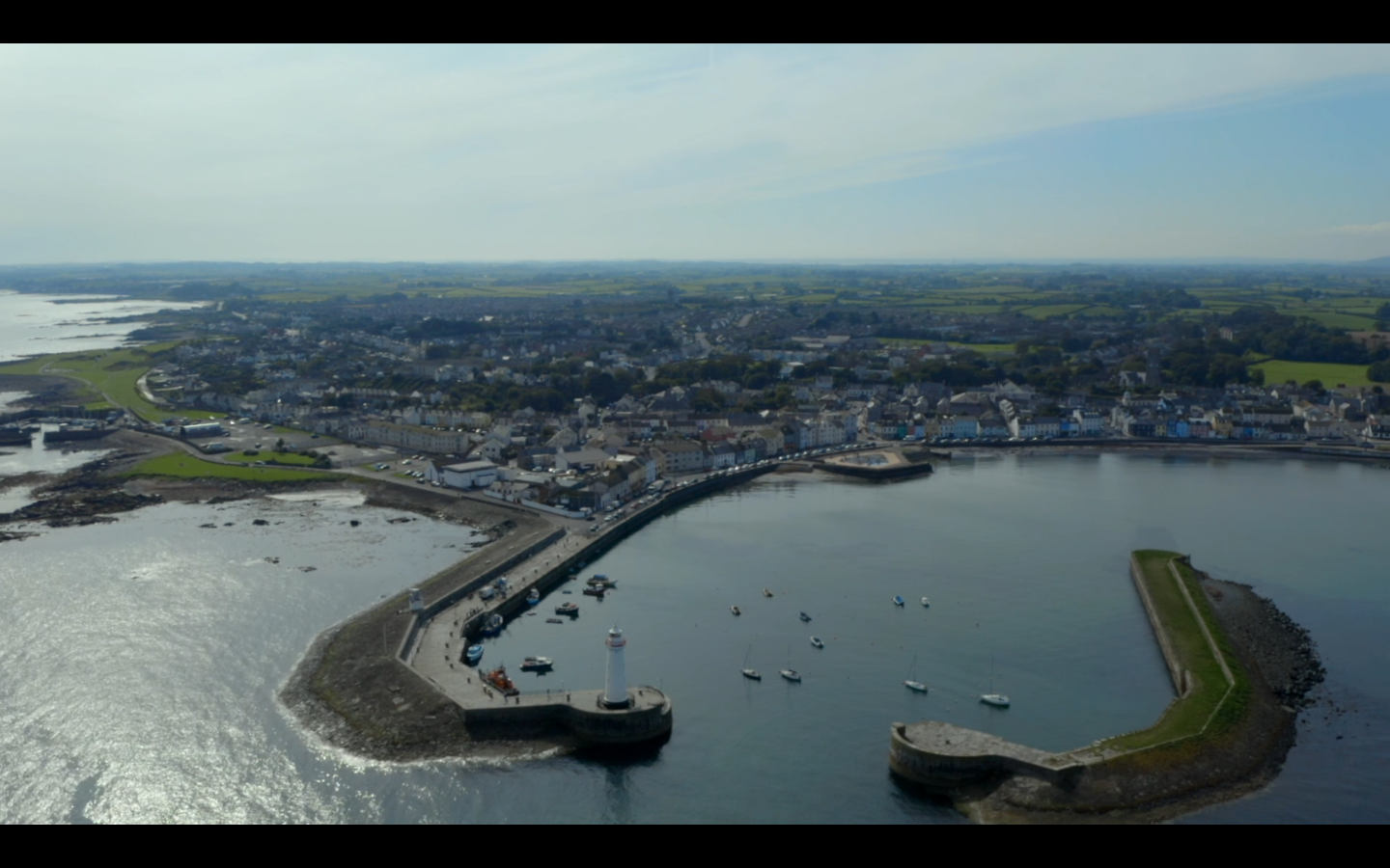
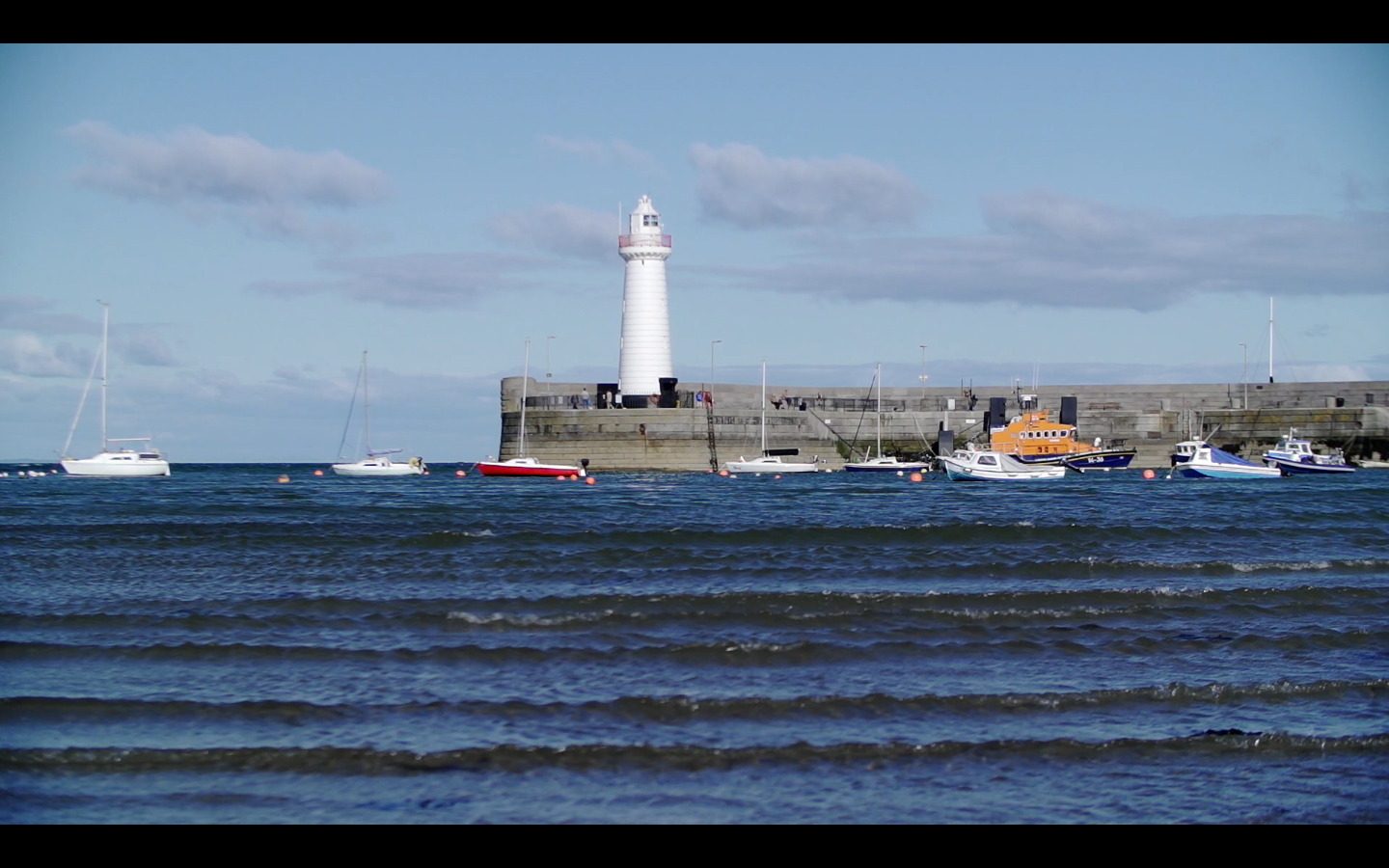
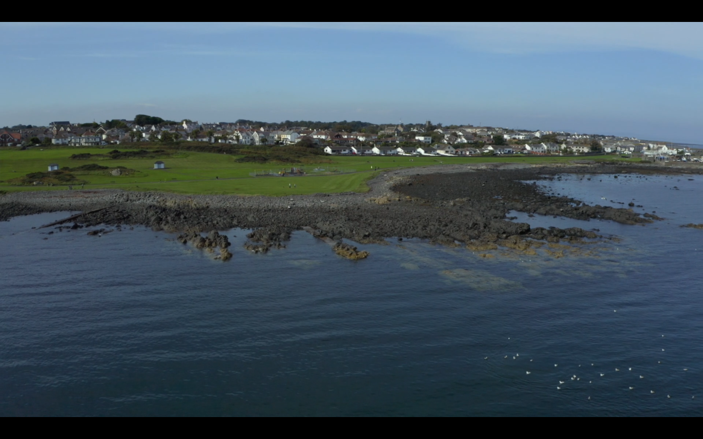
Start at the public car park just off Moat Avenue, then cross the road to begin your walk on the footpath towards the harbour. After eploring the harbour, keep the sea on your left and walk south towards a park called The Commons. At the end of the Commons, just after the tennis courts and the bowling green, you can turn right to continue back into town down the Millisle road, or if you want to extend the walk you can follow a little stony, uneven path, which hugs the coastline and rejoins the road a little further on. Continue the walk down High Street for a few hundred metres, passing Irelands oldest licenced pub Grace Neils and then turn left down Church lane. Go through the graveyard, noting all the Scottish surnames that are still prevelant in this area today, and come out on Church Place before turning right down Union Street and then left down Moat Street to return to the car park. https://vimeo.com/491176565/a1f03e9b7e https://vimeo.com/491210589/84effb5a1f https://vimeo.com/491211739/b923c26bfb
TRAIL INFORMATION
Start at the public car park just off Moat Avenue, then cross the road to begin your walk on the footpath towards the harbour. After eploring the harbour, keep the sea on your left and walk south towards a park called The Commons. At the end of the Commons, just after the tennis courts and the bowling green, you can turn right to continue back into town down the Millisle road, or if you want to extend the walk you can follow a little stony, uneven path, which hugs the coastline and rejoins the road a little further on. Continue the walk down High Street for a few hundred metres, passing Irelands oldest licenced pub Grace Neils and then turn left down Church lane. Go through the graveyard, noting all the Scottish surnames that are still prevelant in this area today, and come out on Church Place before turning right down Union Street and then left down Moat Street to return to the car park. https://vimeo.com/491176565/a1f03e9b7e https://vimeo.com/491210589/84effb5a1f https://vimeo.com/491211739/b923c26bfb
GETTING TO THE START
Start at the public car park just off Moat Avenue.
- Point of Interest The Commons, Donaghadee Church
- Facilities Car park
- Getting to the Start Start at the public car park just off Moat Avenue.
- Public Transport Translink – journeyplanner.translink.co.uk