13.2 miles
Linear
Downhill to Magilligan Point
Great wee route offering some of the best kept secret views on the North Coast. On NCN 93 from Downhill Estate via Bishop's Road and onto the Martello Tower at Magilligan Point and the mouth of Lough Foyle.
Castlerock Beach, Benone Strand, and Downhill Beach, Portstewart Strand Beach are all popular beaches nearby.
TRAIL INFORMATION
Start from the Bishop's Gate cross to the southern side of Mussenden Road (A2) to enter Downhill Forest through a wooden gate. Descend into the forest turning right to come to the Burrenmore Road after a short distance.
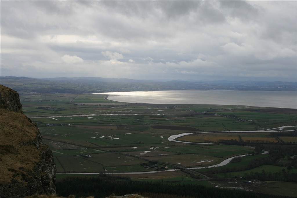
Turn left onto Burrenmore Road climbing for approximately a mile to turn right onto Drumagully Road. Get your breath back as the view over Benone and Downhill begins to open slightly. After a further mile turn left onto the Bishop's Road as you start to climb westwards. The road dips and curves with the flat alluvial plain of Magilligan and Lough Foyle coming into view. Take a deserved break at Gortmore viewpoint to take in the view over Lough Foyle, Inishowen, the North Coast and on a good day Islay and Jura in Scotland to the North.
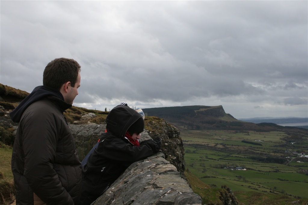
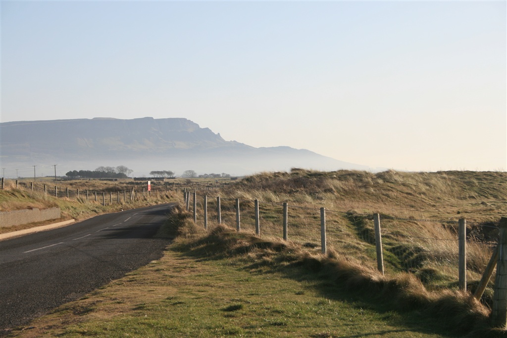
Continuing on your way follow the Bishop's Road southwards taking in Binevenagh's familiar profile and the Roe Estuary in the distance. After 2 miles turn right onto Leighrey Road taking care on this steep descent to meet with Duncrun Road, passing an entrance to Binevenagh Forest on your left.
Turn left on Duncrun Road for a mile and then right onto Limestone Road for a short descent for a few hundred metres to turn sharp right onto Curragh Road. Crossing the railway track keep going to the junction with Seacoast Road (A2) opposite Magilligan Presbyterian Church. Carefully turn right onto Seacoast Road, part of the Causeway Coastal Route, for just over half a mile to turn lefty onto Point Road (B202) signed for Lough Foyle Ferry and Martello Tower.
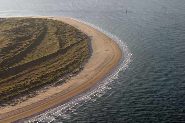
With all the hard work done enjoy the level plain of Magilligan as you follow Point Road for 4 miles to the mouth of Lough Foyle. Take the time on this section to look back at the cliffline as well as southwards over this expanse of shallow sea lough which is home to a variety of waders and wildfowl.
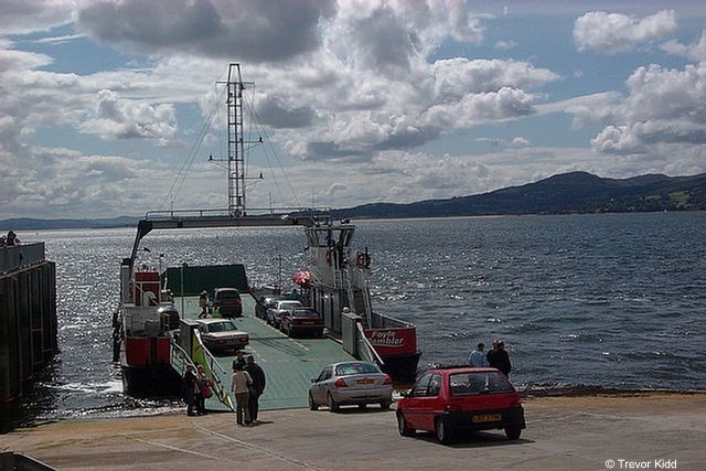
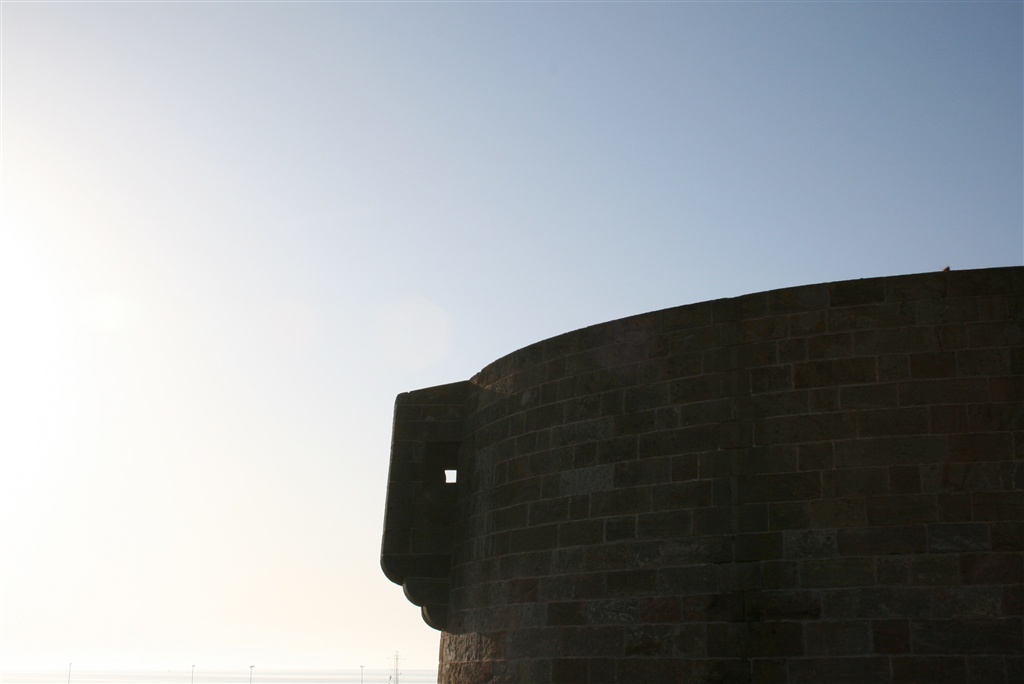
Here you can chose to extend your journey to Inishowen using the ferry, have a look at the Martello Tower or stop at the Point Bar for refreshment.
TRAIL INFORMATION
Start from the Bishop's Gate cross to the southern side of Mussenden Road (A2) to enter Downhill Forest through a wooden gate. Descend into the forest turning right to come to the Burrenmore Road after a short distance.
Turn left onto Burrenmore Road climbing for approximately a mile to turn right onto Drumagully Road. Get your breath back as the view over Benone and Downhill begins to open slightly. After a further mile turn left onto the Bishop's Road as you start to climb westwards. The road dips and curves with the flat alluvial plain of Magilligan and Lough Foyle coming into view. Take a deserved break at Gortmore viewpoint to take in the view over Lough Foyle, Inishowen, the North Coast and on a good day Islay and Jura in Scotland to the North.
Continuing on your way follow the Bishop's Road southwards taking in Binevenagh's familiar profile and the Roe Estuary in the distance. After 2 miles turn right onto Leighrey Road taking care on this steep descent to meet with Duncrun Road, passing an entrance to Binevenagh Forest on your left.
Turn left on Duncrun Road for a mile and then right onto Limestone Road for a short descent for a few hundred metres to turn sharp right onto Curragh Road. Crossing the railway track keep going to the junction with Seacoast Road (A2) opposite Magilligan Presbyterian Church. Carefully turn right onto Seacoast Road, part of the Causeway Coastal Route, for just over half a mile to turn lefty onto Point Road (B202) signed for Lough Foyle Ferry and Martello Tower.
With all the hard work done enjoy the level plain of Magilligan as you follow Point Road for 4 miles to the mouth of Lough Foyle. Take the time on this section to look back at the cliffline as well as southwards over this expanse of shallow sea lough which is home to a variety of waders and wildfowl.
Here you can chose to extend your journey to Inishowen using the ferry, have a look at the Martello Tower or stop at the Point Bar for refreshment.
GETTING TO THE START
Follow the NCN route 93 from Coleraine or Limavady. Rail link from Coleraine to Derry stops at Castlerock and regular bus service on A2. Check with Translink for details. By car from Coleraine ~ Take the A2 through Articlave, Downhill Forest is on the left after approx. 1½ miles From Limavady ~ Take the A2 towards Castlerock, Downhill Forest is on the right approx. 3½ miles after Benone. When parking please do not block the gates as lorries, emergency vehicles and other official vehicles may need access to this entrance at anytime.
- Facilities Some toilets available at the Lion's Gate a short distance from the start or Ferry terminal and Point bar at the finish point.
- Getting to the Start Follow the NCN route 93 from Coleraine or Limavady. Rail link from Coleraine to Derry stops at Castlerock and regular bus service on A2. Check with Translink for details. By car from Coleraine ~ Take the A2 through Articlave, Downhill Forest is on the left after approx. 1½ miles From Limavady ~ Take the A2 towards Castlerock, Downhill Forest is on the right approx. 3½ miles after Benone. When parking please do not block the gates as lorries, emergency vehicles and other official vehicles may need access to this entrance at anytime.
- Traffic Information May encounter Forest Service vehicles on the route in Downhill Forest. Agricutural vehicles will also be using these county roads and the main A2 forms part of the Causeway Coastal Route which can be busy. Take care on Point Road (B202) which services the
- Accessible Facilities Quite a demanding route in places with steep gradients. Mostly surfaced roads with a short section on forest track.