0.8 miles
Loop

Easy
Drum Manor Forest Park, Terrace and Pleasuregrounds Trail (Red)

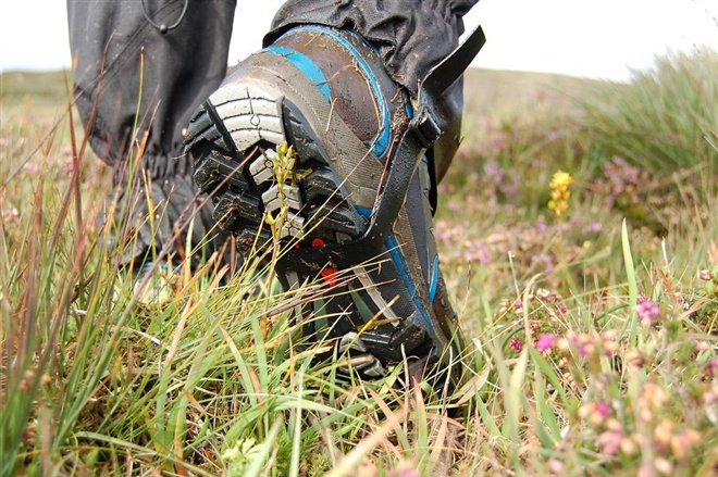
This trail takes in the butterfly gardens with a walk through the heart of the Forest plots enabling the walker to view a wide variety of different tree species then skirting the edge of the pond before rising through the open parkland back to the car park. Strong footwear recommended
TRAIL INFORMATION
The tower and the ground floor walls of the most recent house remain intact. Within the walls there are the features of a Japanese garden.
The terrace was the most important viewpoint within the old estate demesne in the late 1800s, and is the most attractive one within the Forest Park now. The layout of the Pleasure-grounds was carefully designed to provide tantalising (but not obvious) views of the ponds, trees and the woodlands behind.
The Pleasure-grounds were also for people to walk through and explore. The layout of the trees and shrubs created a feeling of being in a larger area than it actually was, and included rare and valuable species such as the Blue Atlas Cedars and yew. There is a network of paths that take the visitor to various parts, including the ponds.
The larger fish pond predates 1830, with the other created during the major alteration of the Pleasure grounds in 1870.
The Butterfly Garden. Walled Garden contains many species of plants that provide food and shelter for our native butterflies and moths.
These walks are situated in a working forest environment and may be subject to diversion and closure from time to time.
Up to date information is available on the Forest Service web site - https://www.nidirect.gov.uk/articles/drum-manor-forest-park.
GETTING TO THE START
- Point of Interest House ruins / Japanese garden, Pleasure Grounds / Champion Trees, Ponds, Butterfly Garden
- Facilities Car park (fee charged & disabled access), Toilets (disabled access), Picnic areas, Camping and Caravaning, Way-marked/nature trails, Guided tours available
- Accessibility Information
Accessibility Grade: Grade 4 Terrain: Off road forest paths Toilet Facility: No Signage: No - Getting to the Start Signposted from the A505 - Cookstown to Omagh Road.
- Public Transport Translink – journeyplanner.translink.co.uk
- Trail Grade Easy TRAIL GRADE DISCLAIMER
The trail grades shown on OutmoreNI.com and WalkNI.com are based on desk-based assessments of available trail information. The categories—Easy, Moderate, Strenuous, and Very Strenuous—follow the Sustainable Trails Development Guide grading system.
These grades are provided as a general guide to help users choose trails that may be suitable for them. They are not a substitute for official, on-site grading or safety information provided by the relevant land manager, which may differ from the information on these websites.
Outdoor activities involve inherent risks, including the risk of injury, death, property damage, and other hazards. By using information from OutmoreNI.com and WalkNI.com, you acknowledge that you do so at your own risk. OutmoreNI.com and WalkNI.com accept no responsibility or liability for any loss, injury, or damage arising from the use of this information.
Conditions on trails can change, and the actual environment may differ from what is described online. Users should always exercise their own judgment, take appropriate precautions, and remain responsible for their own safety and conduct at all times.
All information provided on OutmoreNI.com and WalkNI.com is intended as a guide only and should be used alongside your own experience, awareness, and careful decision-making.
Suitable for most people, these routes are relatively flat, smooth and well-defined with occasional gentle slopes. There may be minor obstacles such as gates and bridges. A basic level of fitness will help to enjoy these trails.