22.7 miles
Loop
Drumlins and Canal
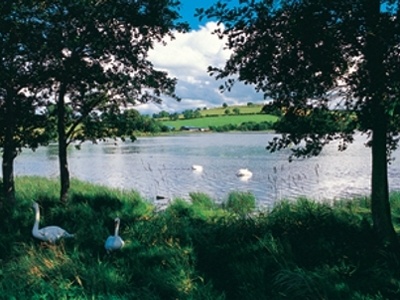
A scenic route with a variety of landscapes. Takes in stunning views of Loughbrickland Lake. The route also passes through the award winning village of Scarva where its famous tearooms offer a welcome break.
TRAIL INFORMATION
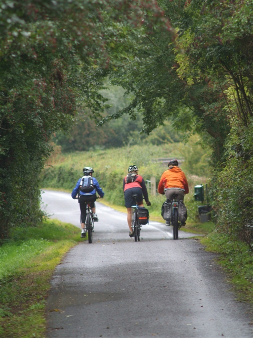
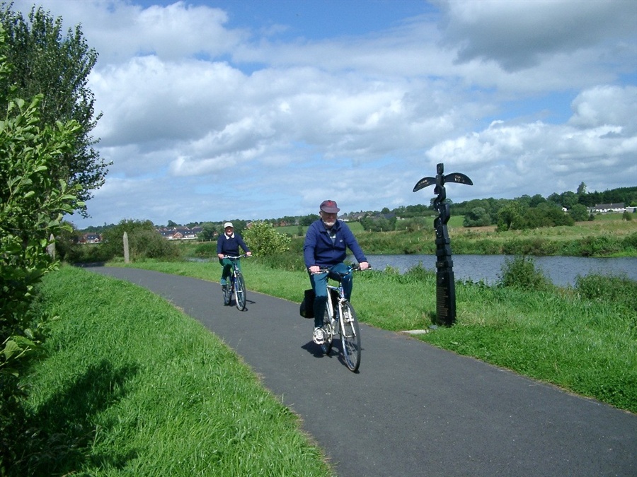
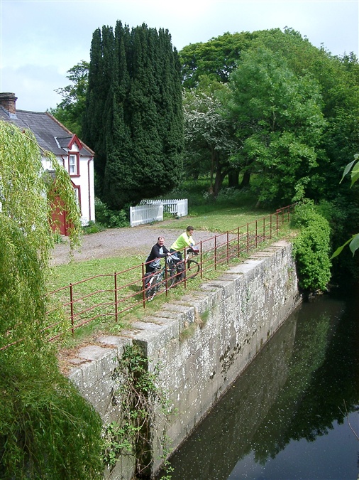
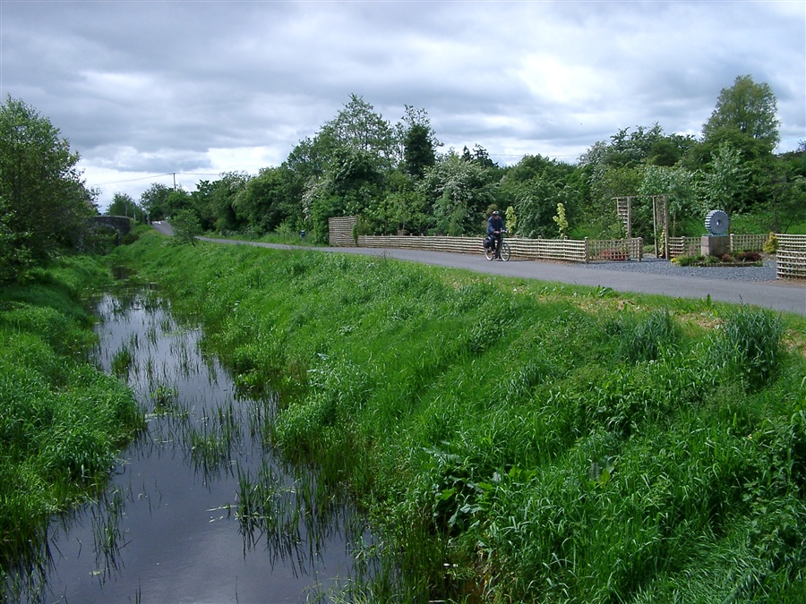
This 22 mile route is a mixture of rolling drumlin countryside and flat canal towpath. Starting in Banbridge, you head southwest towards Loughbrickland on a quiet road running parallel to the main Dublin road. From here the route climbs steeply to overlook Loughbrickland Lake on your left and starts a series of testing undulations. Thankfully the climbs are short and soon you descend towards Poyntzpass. The route joins the canal towpath here for a six-mile flat run to the award winning village of Scarva. Take care when passing walkers. Use your bell to let them know you are coming. Scarva Visitors Centre offers an opportunity for a rest and some refreshments. Soon the route leaves the canal towpath at Madden’s Bridge and joins the main Gilford to Tandragee road for a short spell before taking the first left turn. Turning right at the first T-junction into Gilford the route climbs under some electric lines to the north of the town onto more undulating roads before descending through the village of Lawrencetown. You then cross the River Bann and follow the south side of the river to Banbridge.
TRAIL INFORMATION
This 22 mile route is a mixture of rolling drumlin countryside and flat canal towpath. Starting in Banbridge, you head southwest towards Loughbrickland on a quiet road running parallel to the main Dublin road. From here the route climbs steeply to overlook Loughbrickland Lake on your left and starts a series of testing undulations. Thankfully the climbs are short and soon you descend towards Poyntzpass. The route joins the canal towpath here for a six-mile flat run to the award winning village of Scarva. Take care when passing walkers. Use your bell to let them know you are coming. Scarva Visitors Centre offers an opportunity for a rest and some refreshments. Soon the route leaves the canal towpath at Madden’s Bridge and joins the main Gilford to Tandragee road for a short spell before taking the first left turn. Turning right at the first T-junction into Gilford the route climbs under some electric lines to the north of the town onto more undulating roads before descending through the village of Lawrencetown. You then cross the River Bann and follow the south side of the river to Banbridge.
GETTING TO THE START
Route starts in Banbridge, situated just off the main Belfast to Dublin road. Both free and Pay-Station car parks are available in and around the town centre.
- Facilities Refreshmants available in Banbridge, Loughbrickland, Scarva, Gilford and Lawrencetown.
- Getting to the Start Route starts in Banbridge, situated just off the main Belfast to Dublin road. Both free and Pay-Station car parks are available in and around the town centre.
- Traffic Information Some parts of the route can be busy at times.
- Accessible Facilities The Route is along a public road which tends to be busy at certain periods.