0.7 miles
Loop
Drumnaph Ruachan Trail
Drumnaph Community Nature Reserve consists of a mix of habitats and three walking trails to choose from. The Woodland Trust owns approximately 80 acres of Drumnaph Wood, which is located to the eastern side of the reserve. This section contains both ancient woodland and newly planted woodland as well as some wetland habitats.
In early 2012 an opportunity arose to secure the purchase of an additional 130 acres in the western section of the reserve, which includes a patchwork of ecological habitats including ancient woodland, wildflower meadows, ancient grazing habitats and wetlands.
The choice of walking routes is detailed on information boards at both car parks.
TRAIL INFORMATION
TRAIL INFORMATION
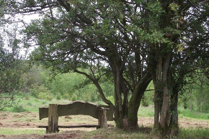
Leaving the western car park at O’Loughlin’s Farm and follow the waymarkers. These lands have been used for low-intensity agriculture for many years. The O’Loughlin farm is now a rare example of species-rich habitats containing many plants and animals that are now scarce in the wider landscape. Just beside the car park, there is an old lone hawthorn tree. The Gaelic name for this tree is ‘Sceach Gheal’ meaning white bush which comes from its profuse blossom during May. Single Hawthorn trees feature widely within this upland landscape. Historically farmers have avoided damaging these trees in the belief that disaster would befall those who dared to dig up or cut down a ‘fairy thorn’.
Continue on to the banks of the Grillagh river. ‘Griollach’ means a wet and mucky area and is the name of a local townland through which the river flows. The Grillagh river is used by Atlantic Salmon, which enter freshwater some 35 miles north through the mouth of the River Bann at Coleraine and make their way upstream in order to spawn.
You are now beside a stone bridge in an area called ‘Ruachan’. ‘Rua’ means red in Gaelic and its use here is likely to be in reference to the rust coloured land which is stained by naturally occurring ochre. This can be seen clearly leeching into the local ditches and streams, from which it was easily extracted for use. Ochre was one of the simplest and earliest used dyes and in view of the place name it is likely that people would have taken it from this area.
Along the side of the path is an impressive mature hedge which is dominated by Holly. Directly south of the path is an area of cutaway bog. Peat or turf was a hugely important fuel in most parts of rural Ireland as for many centuries little wood was available due to the destruction of the woodlands during the 17th century following the Elizabethan conquest.
Cross this pathway to transition between two habitats. To the west we have the cutover bog dominated by plants that thrive in acidic nutrient poor conditions. To the east and up the hill we are looking at an acid marsh which is dominated by rushes, sedges and grasses. Continue to arrive back at the car park.
GETTING TO THE START
- Point of Interest The natural beauty and wildlife of this ancient woodland
- Facilities As this is a natural woodland environment, no toilet or refreshment facilities are provided. New pathways do include a short section suitable for pushchairs and wheelchairs.
- Dog Policy Dogs are allowed but must be kept under control.
- Getting to the Start For the west car park, take the Tirkane Road leading north west from Maghera town centre. Continue for 3.5km, before turning right onto the Halfgayne Road. The west car park is 1km along this road on the right hand side. To reach the east car park from the west car park, continue for 700m along the Halfgayne Road, before turning right onto the Gortinure Road. Continue along this road for 1km before turning right onto the Grillagh Road, the east car park is 300m on your right.
- Public Transport Translink – journeyplanner.translink.co.uk