1.2 miles
Loop
Glenmore Scenic Walk
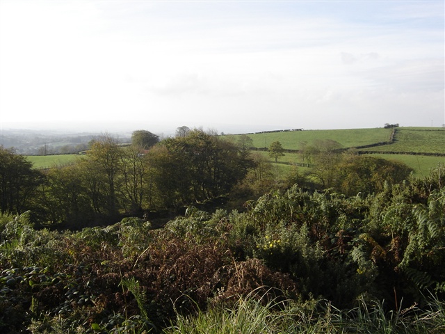
This walk runs along the path of the Glen but you can choose a higher level path taking you to a look-out point which commands great views of the pastured hillsides and wider countryside.
TRAIL INFORMATION
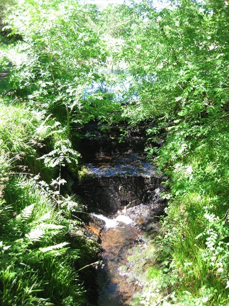
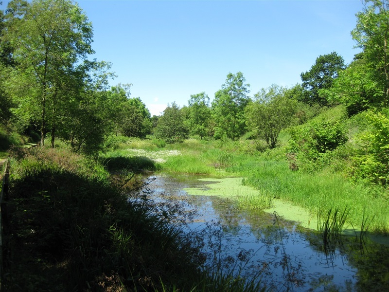
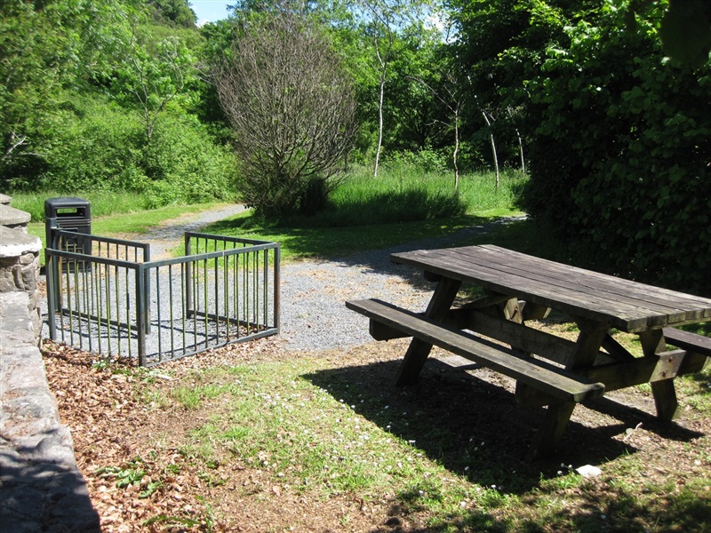
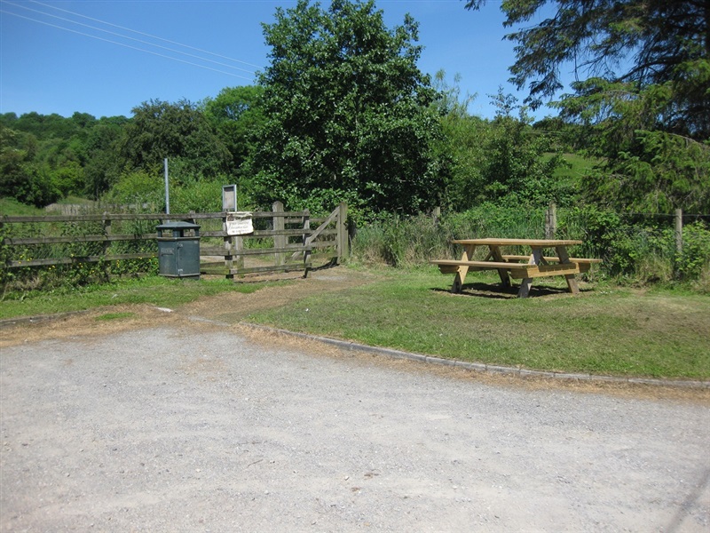
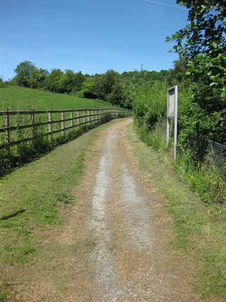
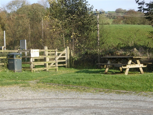
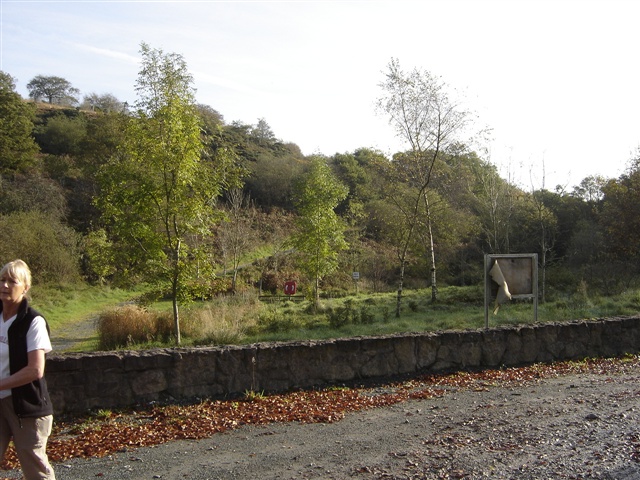
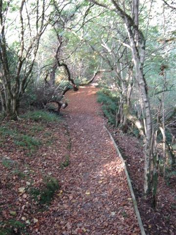
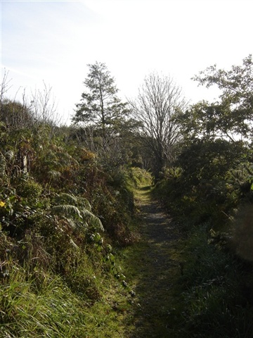
The walk can be accessed from two car parks, but starts and finishes in the car park on Bockets Road. From the car park, go through the kissing gate and follow the path slightly uphill towards the glen. It is is a circular route and can be done in either direction. The walk described here follows an anti-clockwise direction. Turn right and cross over the bridge, following the path through the glen. The wide unsurfaced path leads steeply uphill for approximately 10 minutes until it meets a junction signed to a viewpoint on the right. For a short detour, follow the path uphill to the viewpoint where a wooden shelter with seating offers a chance to pause and view the surrounding countryside. Head back downhill to the main path. Continue along this path until reaching the top car park on Tullyavern Road. The path continues down the glen back to the bridge crossed at the start. From here retrace your steps back to the car park. The walk takes around 45 minutes to complete.
TRAIL INFORMATION
The walk can be accessed from two car parks, but starts and finishes in the car park on Bockets Road. From the car park, go through the kissing gate and follow the path slightly uphill towards the glen. It is is a circular route and can be done in either direction. The walk described here follows an anti-clockwise direction. Turn right and cross over the bridge, following the path through the glen. The wide unsurfaced path leads steeply uphill for approximately 10 minutes until it meets a junction signed to a viewpoint on the right. For a short detour, follow the path uphill to the viewpoint where a wooden shelter with seating offers a chance to pause and view the surrounding countryside. Head back downhill to the main path. Continue along this path until reaching the top car park on Tullyavern Road. The path continues down the glen back to the bridge crossed at the start. From here retrace your steps back to the car park. The walk takes around 45 minutes to complete.
GETTING TO THE START
- Point of Interest Views from lookout, pretty glen
- Facilities Car parking at either end of the walk.
- Dog Policy Dogs must be kept on leads.
- Accessibility Information
Accessibility Grade: Grade 5 Terrain: Unsurfaced paths, steep in parts Toilet Facility: No Signage: No - Getting to the Start Follow the brown tourist signs off the main Dungannon to Ballygawley Rd (A4). The car parks are approx. 1 and 3 miles from the main road.
- Public Transport Translink – journeyplanner.translink.co.uk