14.2 miles
Linear

Strenuous
Lagan Towpath

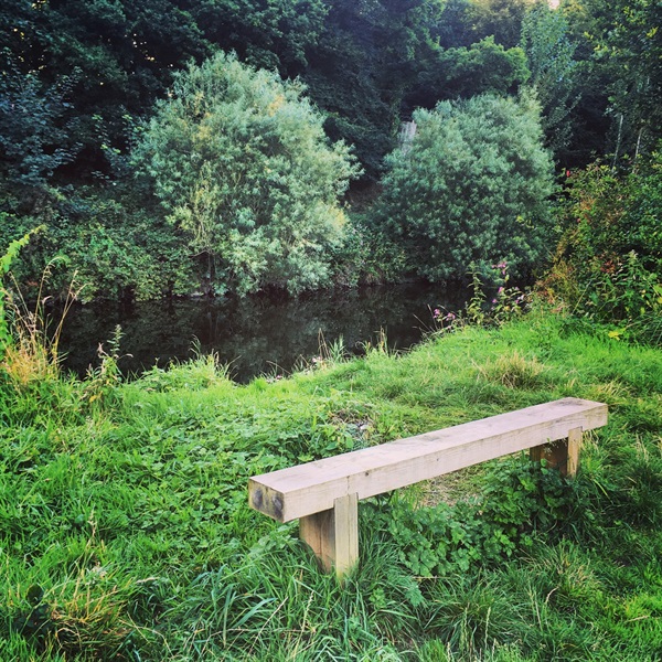
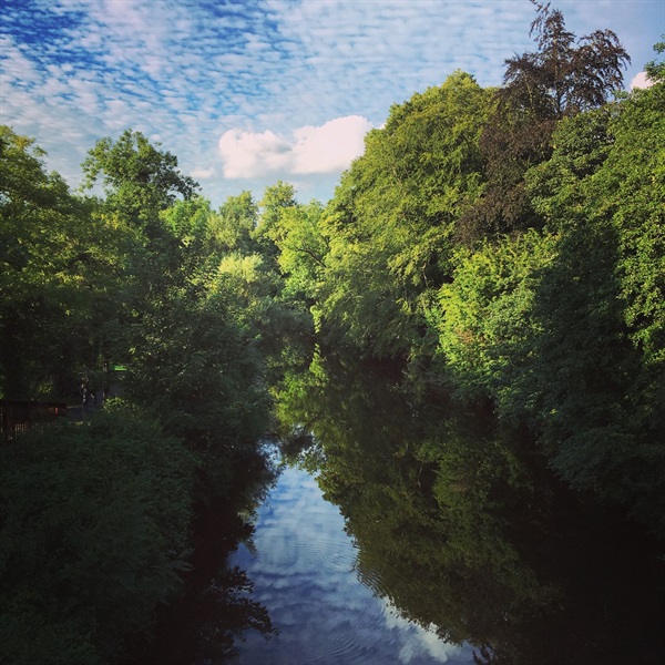
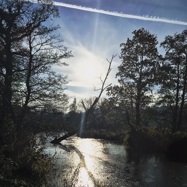
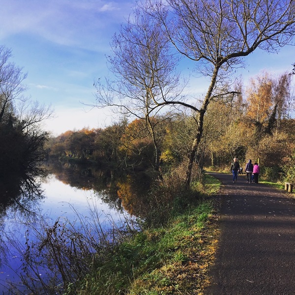
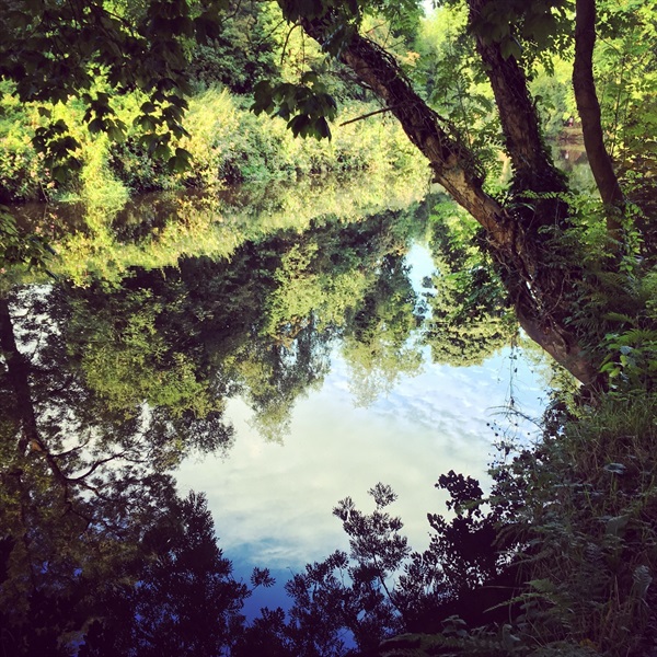
The Lagan Towpath takes the walker along the river and canal system through a variety of wetland, riverside meadows and mixed woodland from Belfast to Lisburn. Home to a variety of wildlife, the canal system dates back to the late 18th century and many features still give an insight into the majestic era of the lighter - the name for the boats that originally travelled on the Lagan Canal.
TRAIL INFORMATION
From Stranmillis, Belfast - go onto the tarmaced towpath with the river to your left. Continue for approximately 2kms.
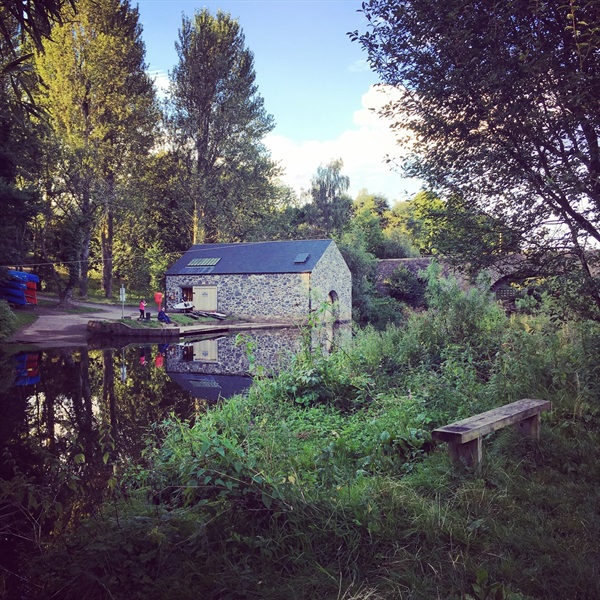
Cross the canal at Lock Keepers cottage (past red footbridge).
At Shaws Bridge (old stone bridge), walk up the zigzag path to your left, cross the bridge taking you back to right hand side of the river. Continue with the river on your left until Drumbridge, here the path takes you over the river via a narrow footbridge and you can continue with the river and canal on your right till you reach Lagan Valley Island, Lisburn.
The route takes you under the motorway via a walkway, under the sandstone Ballyskeagh bridge and crosses first the Tullynacross road and then the Hilden road. At Lagan Valley Island, cross the canal and keep alongside the river until you reach the road. To continue on towards Union Locks you will have to cross three roads using the crossings. When back on the river continue with river to your left for the final stretch to Union Locks.
There is an option to extend the route from Stranmillis Weir, northwards to the Odyssey Complex where the River Lagan enters Belfast Lough. Upon reaching the weir at Stranmillis, bear left along the tarmac path to enter the car park at the popular local bar and eatery - 'Cutters Wharf'. After passing by Cutters Wharf and Queens Boat House on your right hand side, take the off road tarmac path to the right leading towards the river. Continue to follow this path under the bridge at Annadale Embankment. Follow the foot path along the river before reaching Kings Bridge at the Ormeau Road. The route continues along the edge of the river after crossing the Ormeau Road. Continue to follow this off road path until reaching Central Station.
Upon reaching Central Station continue on the towpath with the river on your right, before reaching the main A20 East Bridge Street. Cross the road using the traffic lights and continue straight ahead onto Laganbank Road. After 100m, continue onto the river side path rather than bearing left onto Lanyon Place. Continue walking along the riverside path passing the Waterfront Hall on your left. Cross the A2 road using two sets of traffic lights, past ‘The Thanksgiving Statue’ or Nuala with the Hula as locals refer to this piece of modern metal sculpture, before reaching the pedestrian bridge adjacent to another piece of public art, ‘The Big Fish’.
Cross the River Lagan using the pedestrian footbridge and bear left at the end of it to follow the path along the river, this time with it on your left. You will arrive at the Odyssey Arena on your right.
TRAIL INFORMATION
From Stranmillis, Belfast - go onto the tarmaced towpath with the river to your left. Continue for approximately 2kms.
Cross the canal at Lock Keepers cottage (past red footbridge).
At Shaws Bridge (old stone bridge), walk up the zigzag path to your left, cross the bridge taking you back to right hand side of the river. Continue with the river on your left until Drumbridge, here the path takes you over the river via a narrow footbridge and you can continue with the river and canal on your right till you reach Lagan Valley Island, Lisburn.
The route takes you under the motorway via a walkway, under the sandstone Ballyskeagh bridge and crosses first the Tullynacross road and then the Hilden road. At Lagan Valley Island, cross the canal and keep alongside the river until you reach the road. To continue on towards Union Locks you will have to cross three roads using the crossings. When back on the river continue with river to your left for the final stretch to Union Locks.
There is an option to extend the route from Stranmillis Weir, northwards to the Odyssey Complex where the River Lagan enters Belfast Lough. Upon reaching the weir at Stranmillis, bear left along the tarmac path to enter the car park at the popular local bar and eatery - 'Cutters Wharf'. After passing by Cutters Wharf and Queens Boat House on your right hand side, take the off road tarmac path to the right leading towards the river. Continue to follow this path under the bridge at Annadale Embankment. Follow the foot path along the river before reaching Kings Bridge at the Ormeau Road. The route continues along the edge of the river after crossing the Ormeau Road. Continue to follow this off road path until reaching Central Station.
Upon reaching Central Station continue on the towpath with the river on your right, before reaching the main A20 East Bridge Street. Cross the road using the traffic lights and continue straight ahead onto Laganbank Road. After 100m, continue onto the river side path rather than bearing left onto Lanyon Place. Continue walking along the riverside path passing the Waterfront Hall on your left. Cross the A2 road using two sets of traffic lights, past ‘The Thanksgiving Statue’ or Nuala with the Hula as locals refer to this piece of modern metal sculpture, before reaching the pedestrian bridge adjacent to another piece of public art, ‘The Big Fish’.
Cross the River Lagan using the pedestrian footbridge and bear left at the end of it to follow the path along the river, this time with it on your left. You will arrive at the Odyssey Arena on your right.
- Point of Interest Historical canal, tranquil riverside habitats
- Facilities Refreshments at Stranmillis; Cutters river grill and bar. Toilet and café facilities at Lock Keepers Cottage. Restaurant at Ramada Hotel, access from laneway opposite Lock Keepers Cottage. Refreshments and toilet facilities at Malone House, set in Barnetts Demesne above Shaws Bridge. Toilet and cafe facilities in Sir Thomas and Lady Dixon Park, follow paths from Drumbridge. Restaurant and toilet facilities at Lagan Valley Island, Lisburn.
- Dog Policy Dogs must be kept under control at all times
- Public Transport Translink – journeyplanner.translink.co.uk
- Trail Grade Strenuous TRAIL GRADE DISCLAIMER
The trail grades shown on OutmoreNI.com and WalkNI.com are based on desk-based assessments of available trail information. The categories—Easy, Moderate, Strenuous, and Very Strenuous—follow the Sustainable Trails Development Guide grading system.
These grades are provided as a general guide to help users choose trails that may be suitable for them. They are not a substitute for official, on-site grading or safety information provided by the relevant land manager, which may differ from the information on these websites.
Outdoor activities involve inherent risks, including the risk of injury, death, property damage, and other hazards. By using information from OutmoreNI.com and WalkNI.com, you acknowledge that you do so at your own risk. OutmoreNI.com and WalkNI.com accept no responsibility or liability for any loss, injury, or damage arising from the use of this information.
Conditions on trails can change, and the actual environment may differ from what is described online. Users should always exercise their own judgment, take appropriate precautions, and remain responsible for their own safety and conduct at all times.
All information provided on OutmoreNI.com and WalkNI.com is intended as a guide only and should be used alongside your own experience, awareness, and careful decision-making.
Challenging routes typically on rough and uneven terrain, with steep and sustained climbs and descents and frequent. Expect man-made and natural obstacles that are unavoidable such as large boulders, exposed tree roots and irregular steps. A high level of fitness and self-reliance is recommended.