2.2 miles
Loop
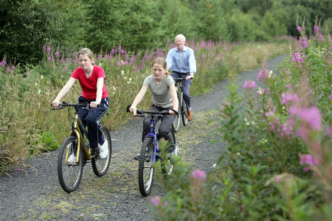
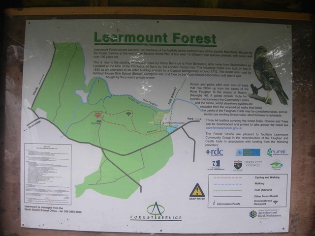
Learmount Forest Walk
Bought by Forest Service at the end of WWII this wood has over 15 different tree species planted, with some well over 100 years old. Roads and paths offer over 4kms of trails that rise 200m up from the banks of the River Faughan on the slopes of Meeny Hill. Parts may be considered steep.
TRAIL INFORMATION
TRAIL INFORMATION
Faughan Walk -
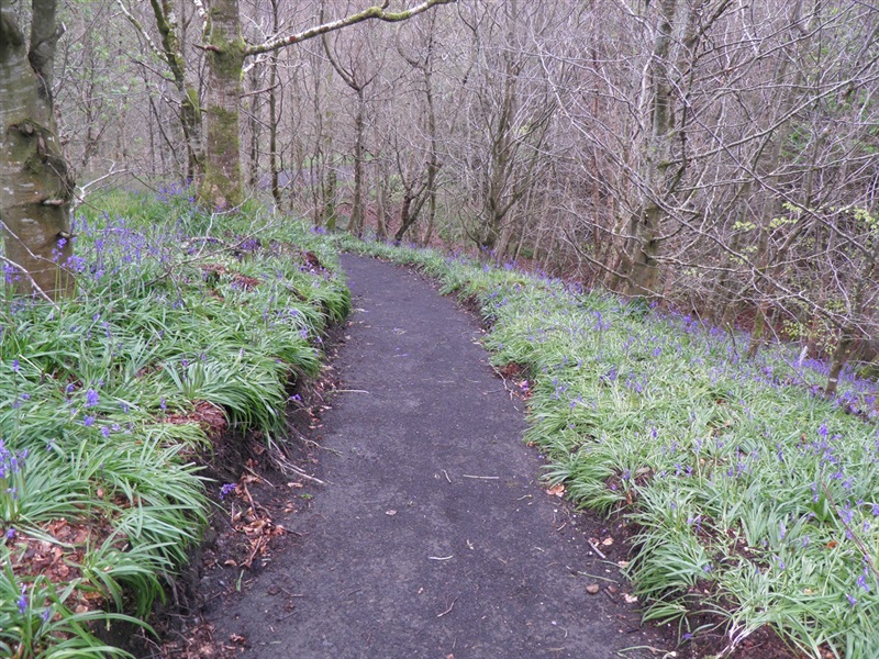
From the car park follow the waymarked trail through the forest.
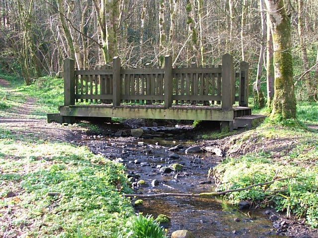
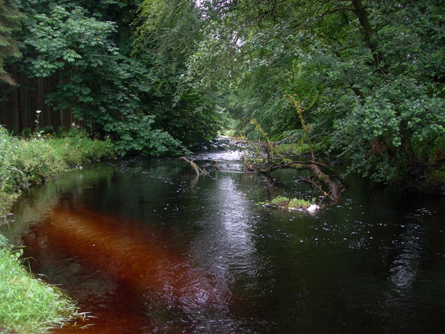
The River Faughan rises on the highest mountain in the Sperrins – Sawel Mountain – and then flows 46km to Lough Foyle, entering the forest under the Footstick bridge at Altinure. Near here you may be able to see the tracks of an otter in the sand of the river’s edge, and further downstream Dippers are common, along with the occasional Heron or Grey Wagtail – possibly even a Kingfisher.
These walks are situated in a working forest environment and may be subject to diversion and closure from time to time.
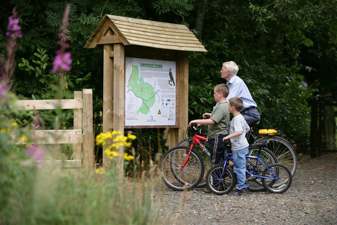
Up to date information is available on the Forest Service web site - https://www.nidirect.gov.uk/articles/learmount-forest.
GETTING TO THE START
- Point of Interest River Faughan, variety of tree species
- Facilities Car parking and picnic facilities.
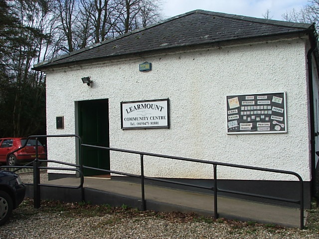
- Getting to the Start Take the B74 Claudy to Feeny road for approximately three miles. Turn right onto the Clagan or Altinure Road heading for the village of Park. The forest is on the Learmount Road on the outskirts of the village. The car park is at the community centre in Park village along the Learmount Road.
- Public Transport Translink – journeyplanner.translink.co.uk