5.3 miles
Linear
Legacurragh Valley Trail
Section 4 of the Cuilcagh Way
Meander through limestone landscape, blanket bog and deep woodland before reaching Florence Court House Estate. Marked green on the attached map. The Cuilcagh Way is managed by the Marble Arch Caves Global Geopark.
TRAIL INFORMATION
TRAIL INFORMATION
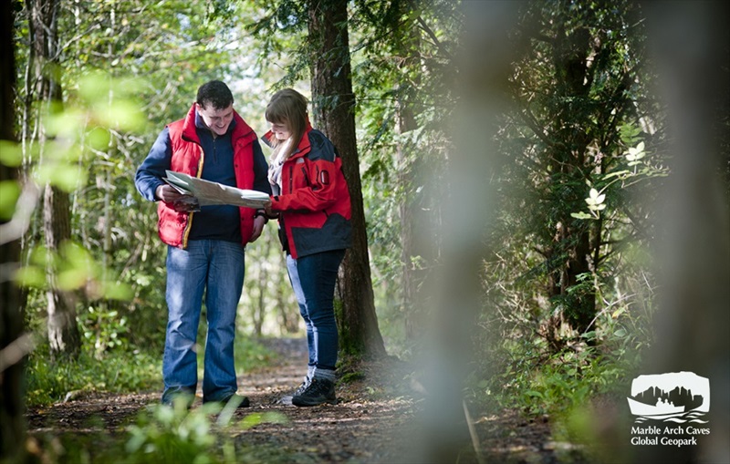
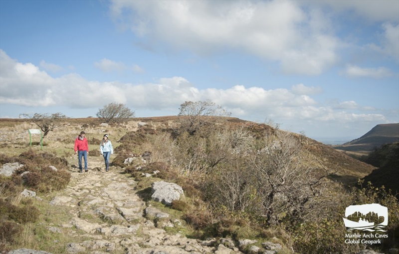
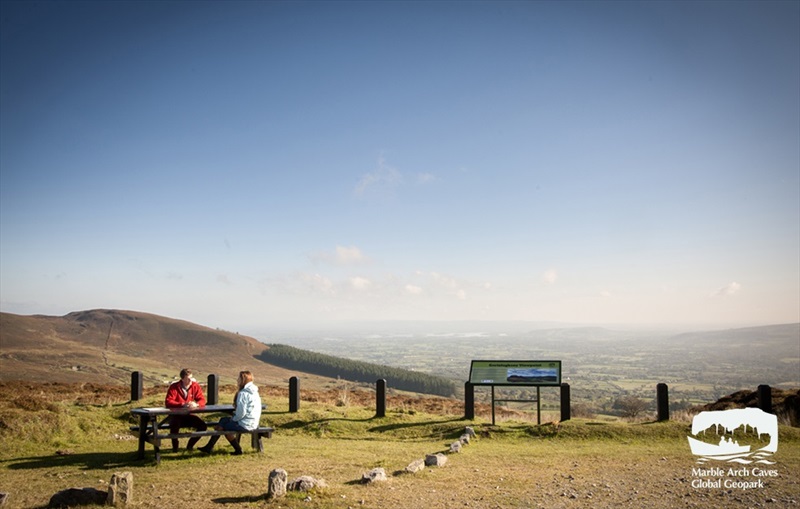
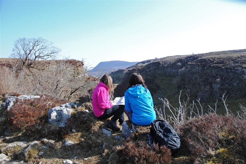
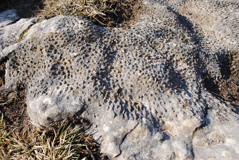
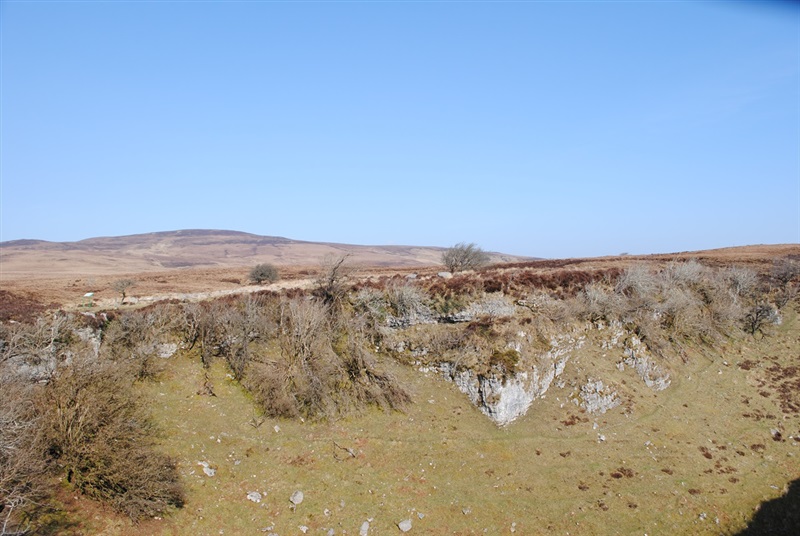
The Cuilcagh Way is a waymarked route that stretches for 33km through a breath taking patchwork of habitats in southern Fermanagh. The route can be walked in sections and provides stunning views, fascinating geology, mystifying wildlife, captivating archaeology and natural history: enough to whet anyone’s appetite for adventure. The Legacurragh Valley Trail is a way marked linear route through some of Fermanagh’s finest scenery, showcasing its wilderness, mountains, valleys, forests and rivers. The terrain consists of a blanket bog path, forestry tracks and tarmac lane, very much away from the hustle and bustle of roads. As the route begins in the mountain area careful planning, constant vigilance and good navigation are required all year round. The route has a wealth of interest in terms of landscapes and heritage, and involves walking through open moorland which is buzzing with nature as well as long stretches along shady woodland paths to discover tranquil rivers, a diversity of flowers and rustic farm ruins. The trail meanders frequently through ever changing scenery which is relatively flat with no severe climbs but some gradual descents. It offers a great escape through charming landscapes with potential for a glimpse of red squirrels, pine martens, deer and butterflies along the way. Route description written as if you are starting the walk from Gortalughany Viewpoint car park. Walk Highlight Attractions along the trail include Florence Court House and Gardens which was the former home of the Earls of Enniskillen. The 18th Century house is set in a dramatic forest setting overlooked by Benaughlin Mountain, looming in the east with its dark green forested flanks rising to 373 metres.
GETTING TO THE START
- Point of Interest Legacurragh Dry Vally, Florence Court House, Benaughlin Mountain
- Facilities Tea rooms, shop, picnic area, playground, and toilets all available in nearby Florence Court House
- Dog Policy Dogs are not permitted at this is a working farm.
- Getting to the Start Legacurragh Valley Trail, at Gortalaughney Viewpoint. Take the A32 from Enniskillen. Gortalaughney Viewpoint is signposted from the road.
- Public Transport Translink – journeyplanner.translink.co.uk