43.6 miles
Linear
Lower Bann Cycleway (long)
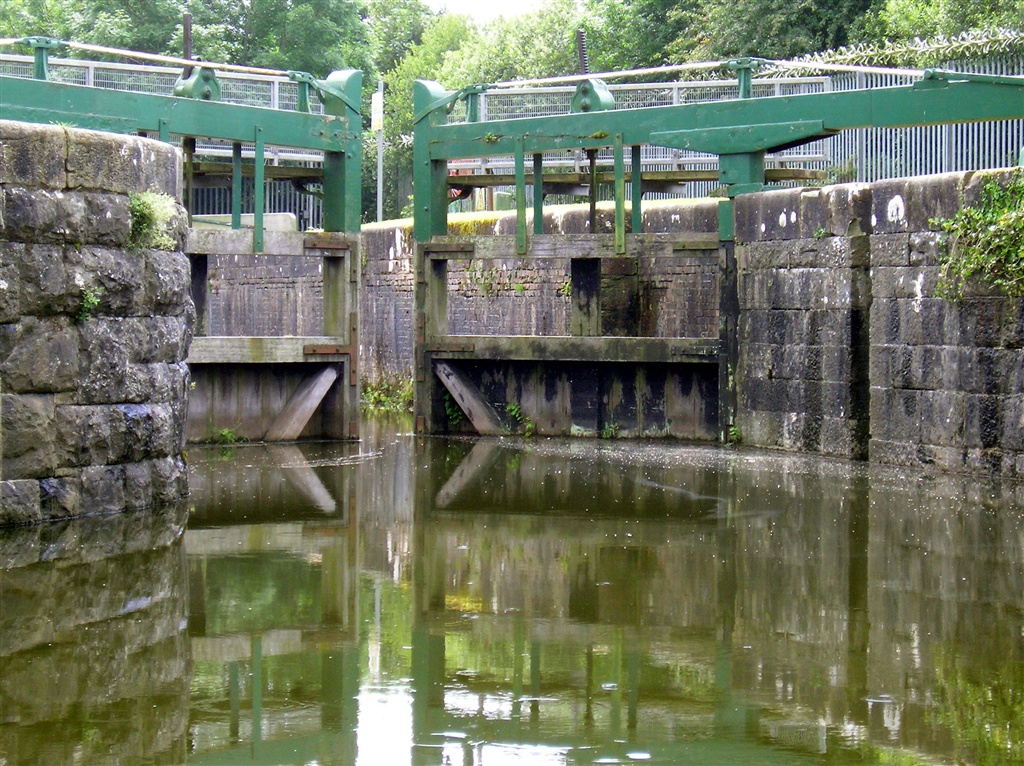
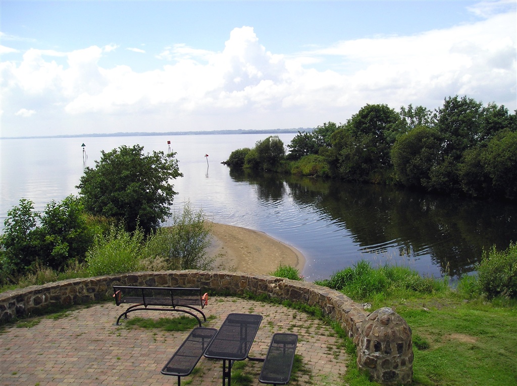
The low-lying landscape of this river corridor provides a gentle cycle, leaving cyclists to enjoy the route at their leisure, relax and take in the scenery of the Lower Bann. The cycleway passes through or close to the towns of Toome, Portglenone, Kilrea, Ballymoney and Coleraine.
TRAIL INFORMATION
Follows the Lower Bann River, passing alongside Canal Walk in Toome, then onto Portglenone, Ballymoney, then Mountsandel Fort, Christie Park and Hezlett House in Coleraine, before finishing at The Barmouth in Castlerock.
Please refer to Lower Bann Cycleway map. See Attachments.
TRAIL INFORMATION
Follows the Lower Bann River, passing alongside Canal Walk in Toome, then onto Portglenone, Ballymoney, then Mountsandel Fort, Christie Park and Hezlett House in Coleraine, before finishing at The Barmouth in Castlerock.
Please refer to Lower Bann Cycleway map. See Attachments.
GETTING TO THE START
Train stations that serve the Lower Bann Cycleway are Ballymoney and Coleraine. Bicycles will be carried free of charge on Translink train services; but are not permitted on trains from Monday to Friday, prior to 9.30am. Goldliner services with stops that serve the Lower Bann Cycleway include Service 218 for Ballymoney and Coleraine, whilst Service 212 stops at the Toome bypass.
- Facilities There are refreshment and toilet facilities at Toome, Portglenone and Coleraine.
- Getting to the Start Train stations that serve the Lower Bann Cycleway are Ballymoney and Coleraine. Bicycles will be carried free of charge on Translink train services; but are not permitted on trains from Monday to Friday, prior to 9.30am. Goldliner services with stops that serve the Lower Bann Cycleway include Service 218 for Ballymoney and Coleraine, whilst Service 212 stops at the Toome bypass.
- Traffic Information There are many traffic free sections, however you will encounter public roads, mainly at Portglenone and Coleraine.
- Accessible Facilities Relatively flat, well surfaced tarmac roads