5.4 miles
Loop

Very Strenuous
Meelmore and Meelbeg

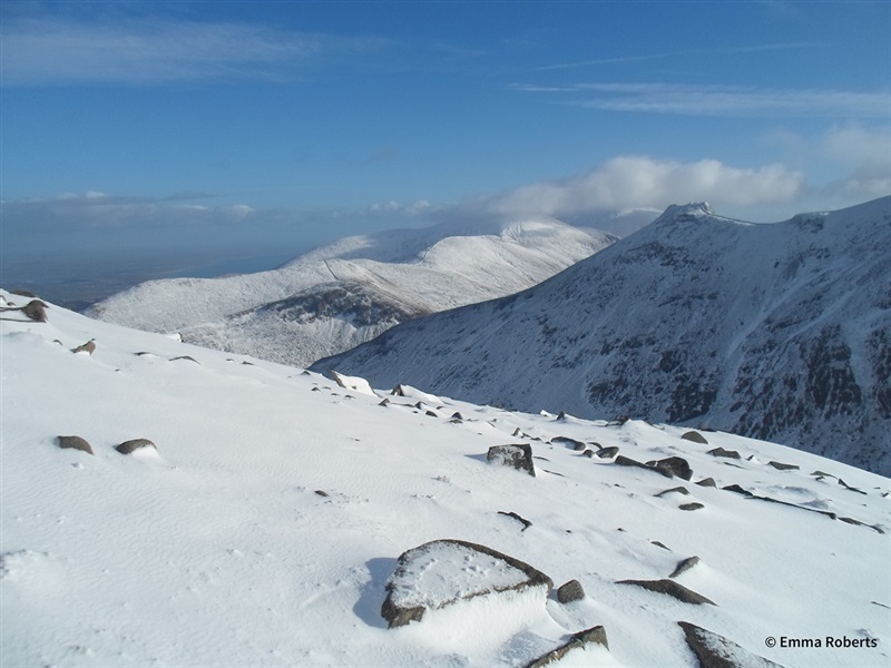
A moderate circular walk in the High Mournes, summiting two of the seven highest peaks in the region, Slieve Meelmore and Slieve Meelbeg.
TRAIL INFORMATION
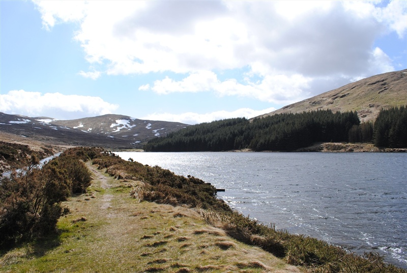
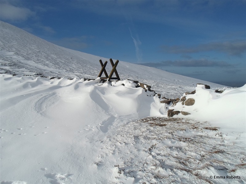
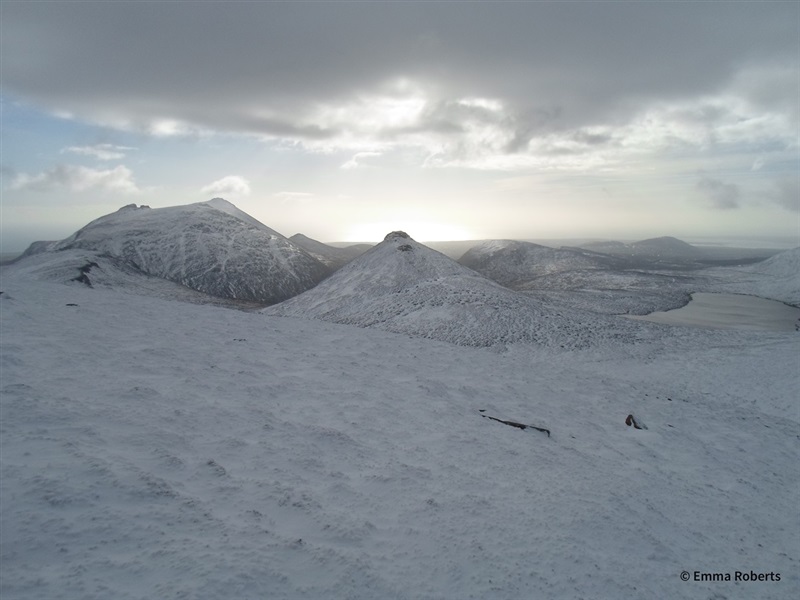
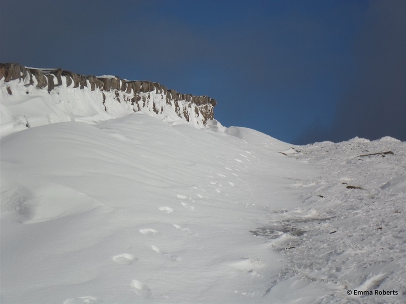
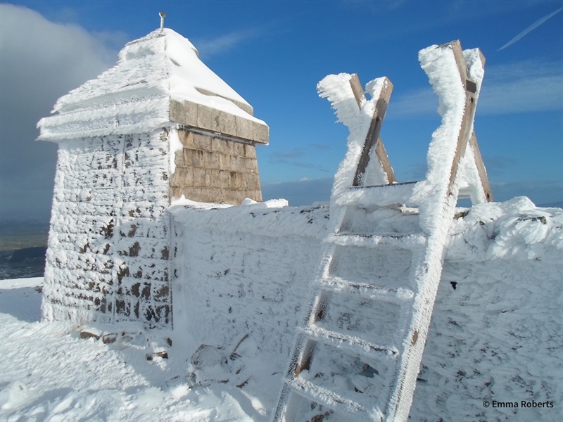
Cross the obvious stile on the opposite side of the road from Ott car park. After 150m the stony track splits in two - take the upper path and continue along the obvious track ascending to the col between Slieve Loughshannagh and Carn Mountain where you will meet the Mourne Wall. At the wall turn left and follow the Mourne Wall up the summits of Slieve Loughshannagh (619m) and Slieve Meelbeg (708m), up to the summit of Slieve Meelmore (687m). Retrace your steps 300m back down Slieve Meelmore to the wall intersection and descend into the valley using the right hand wall at this intersection. Continue to where the wall meets a walking track and river and follow the river downstream, following the walking trails on either side. At the bottom of the valley pick up the Ulster Way, before reaching a pocket of evergreen woodland, follow this in a south westerly direction passing Fofanny Dam after 750m. The Ulster Way emerges onto the Slievenaman Road. Turn left and continue for 800m along the road back to Ott car park.
TRAIL INFORMATION
Cross the obvious stile on the opposite side of the road from Ott car park. After 150m the stony track splits in two - take the upper path and continue along the obvious track ascending to the col between Slieve Loughshannagh and Carn Mountain where you will meet the Mourne Wall. At the wall turn left and follow the Mourne Wall up the summits of Slieve Loughshannagh (619m) and Slieve Meelbeg (708m), up to the summit of Slieve Meelmore (687m). Retrace your steps 300m back down Slieve Meelmore to the wall intersection and descend into the valley using the right hand wall at this intersection. Continue to where the wall meets a walking track and river and follow the river downstream, following the walking trails on either side. At the bottom of the valley pick up the Ulster Way, before reaching a pocket of evergreen woodland, follow this in a south westerly direction passing Fofanny Dam after 750m. The Ulster Way emerges onto the Slievenaman Road. Turn left and continue for 800m along the road back to Ott car park.
GETTING TO THE START
- Point of Interest Slieve Loughshannagh, Slieve Meelbeg, Slieve Meelmore, Fofanny Dam, the Mourne Wall
- Facilities Car park and picnic facilities available at Ott car park.
- Dog Policy Dogs must be kept on leads
- Accessibility Information
Accessibility Grade: Grade 5 Terrain: Unsurfaced tracks, mountain path Toilet Facility: No Signage: No - Getting to the Start The walk starts at Ott car park. To get here follow the Kilkeel Road out of Hilltown for 7 km, turn left at the junction with Slievenaman Road and continue for 1.5 km, Ott car park is on the left hand side.
- Public Transport Translink – journeyplanner.translink.co.uk
- Trail Grade Very Strenuous TRAIL GRADE DISCLAIMER
The trail grades shown on OutmoreNI.com and WalkNI.com are based on desk-based assessments of available trail information. The categories—Easy, Moderate, Strenuous, and Very Strenuous—follow the Sustainable Trails Development Guide grading system.
These grades are provided as a general guide to help users choose trails that may be suitable for them. They are not a substitute for official, on-site grading or safety information provided by the relevant land manager, which may differ from the information on these websites.
Outdoor activities involve inherent risks, including the risk of injury, death, property damage, and other hazards. By using information from OutmoreNI.com and WalkNI.com, you acknowledge that you do so at your own risk. OutmoreNI.com and WalkNI.com accept no responsibility or liability for any loss, injury, or damage arising from the use of this information.
Conditions on trails can change, and the actual environment may differ from what is described online. Users should always exercise their own judgment, take appropriate precautions, and remain responsible for their own safety and conduct at all times.
All information provided on OutmoreNI.com and WalkNI.com is intended as a guide only and should be used alongside your own experience, awareness, and careful decision-making.
These are demanding routes, often undefined and on continuously difficult terrain in remote and rugged environments. Expect challenging, natural obstacles such as stream crossings without bridges, rock scrambles and narrow, overgrown sections.