2.5 miles
Loop
Strenuous
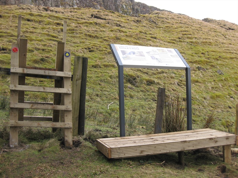
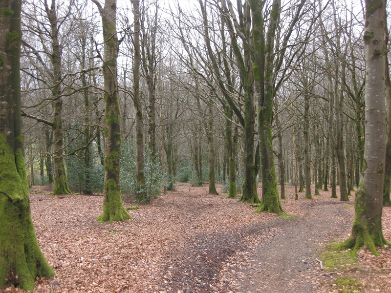
Moydamlaght Forest - Eagles Rock Trail
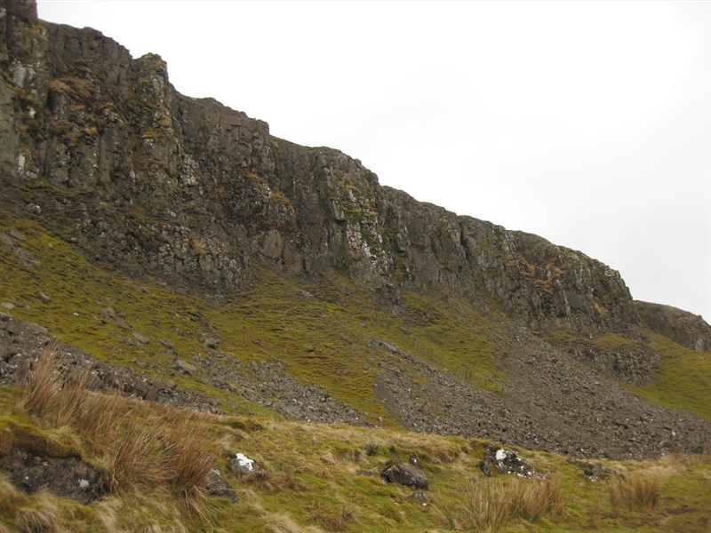
A circular route following a gravel forest trail through conifer and native woodland, peaking beside the impressive rock face of Craig-na-shoke.
TRAIL INFORMATION
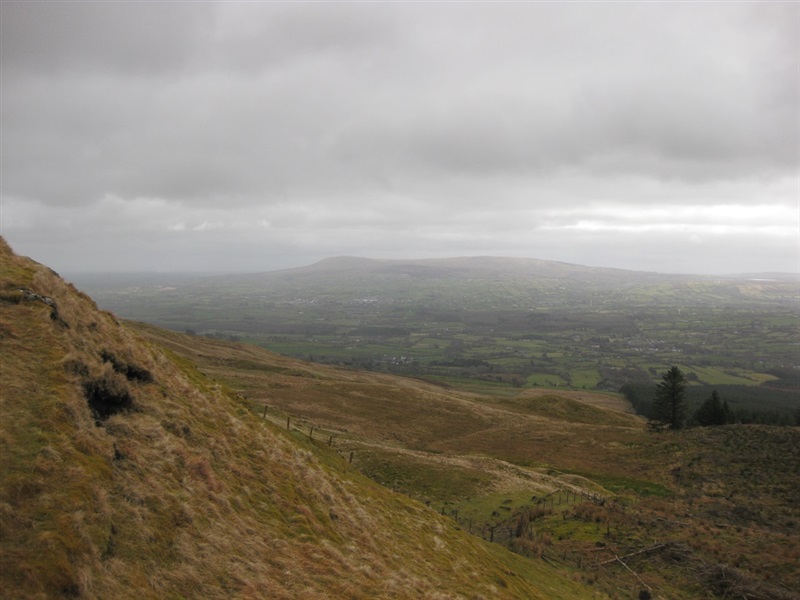
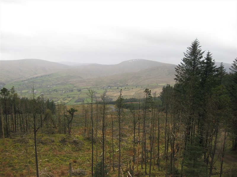
This trail lasting approximately 2 hours will lead you through conifer forest on a climb up the slopes of Mullaghmore to the stunning rock face of Craig-na-shoke. The effort is rewarded with extensive views out over the surrounding hills and countryside. The return journey starts by retracing your steps before the trail branches off to the right and returns to the car park through a small stand of Beech trees.
TRAIL INFORMATION
This trail lasting approximately 2 hours will lead you through conifer forest on a climb up the slopes of Mullaghmore to the stunning rock face of Craig-na-shoke. The effort is rewarded with extensive views out over the surrounding hills and countryside. The return journey starts by retracing your steps before the trail branches off to the right and returns to the car park through a small stand of Beech trees.
GETTING TO THE START
- Point of Interest Eagles Rock, Moydamlaght Forest
- Facilities Parking area present
- Dog Policy Dogs to be kept under control
- Accessibility Information
Accessibility Grade: Grade 5 Terrain: Forest roads Toilet Facility: No Signage: No - Getting to the Start Take the Moydamlaght Road from the village of Moneyneany, the car parking area is on the left 500m after the outskirts of the village.
- Public Transport Translink – journeyplanner.translink.co.uk
- Level of Difficulty
 Strenuous TRAIL GRADE DISCLAIMER
 The trail grades shown on OutmoreNI.com and WalkNI.com are based on desk-based assessments of available trail information. The categories—Easy, Moderate, Strenuous, and Very Strenuous—follow the Sustainable Trails Development Guide grading system.
These grades are provided as a general guide to help users choose trails that may be suitable for them. They are not a substitute for official, on-site grading or safety information provided by the relevant land manager, which may differ from the information on these websites.
Outdoor activities involve inherent risks, including the risk of injury, death, property damage, and other hazards. By using information from OutmoreNI.com and WalkNI.com, you acknowledge that you do so at your own risk. OutmoreNI.com and WalkNI.com accept no responsibility or liability for any loss, injury, or damage arising from the use of this information.
Conditions on trails can change, and the actual environment may differ from what is described online. Users should always exercise their own judgment, take appropriate precautions, and remain responsible for their own safety and conduct at all times.
All information provided on OutmoreNI.com and WalkNI.com is intended as a guide only and should be used alongside your own experience, awareness, and careful decision-making.
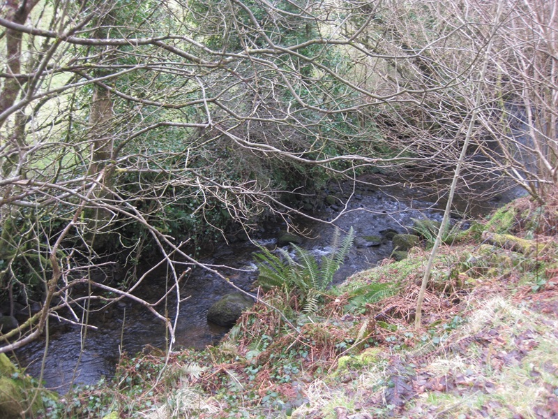
Physically demanding, narrow trails with steep climbs and descents over short and long distances. Expect the surface to be uneven and changeable throughout with natural surfaces like grass, exposed rock and trodden earth. The surface may change suddenly and be unstable in places. There will be slippery sections when wet and large, frequent obstacles like exposed roots, large boulders, overgrown sections, uneven stiles and long stretches of uneven steps.
Outdoor clothing and sturdy footwear are recommended.