1.3 miles
Loop
Moydamlaght Forest - Medium Trail
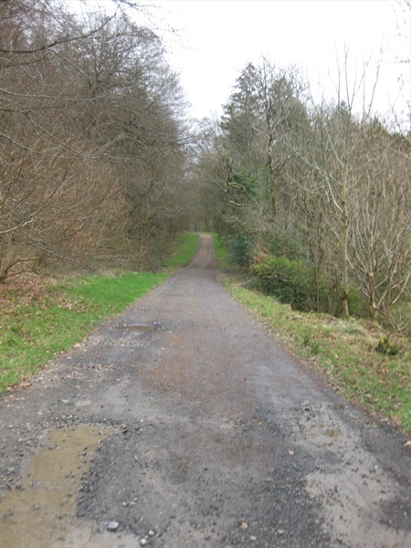
A circular route following a gravel forest trail through conifer and native woodland.
TRAIL INFORMATION
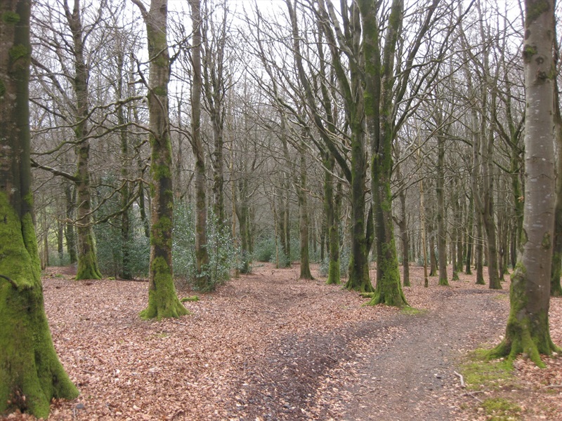
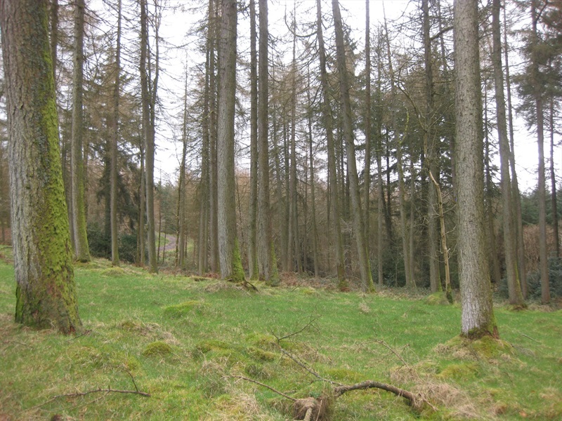
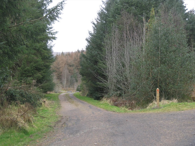
This trail will lead you through conifer forest on a climb on the lower slopes of Mullaghmore. The return journey to the car park passes through a pleasant stand of Beech trees. Folow the waymarkers marked 'Moydamlaght Medium Trail'.
TRAIL INFORMATION
This trail will lead you through conifer forest on a climb on the lower slopes of Mullaghmore. The return journey to the car park passes through a pleasant stand of Beech trees. Folow the waymarkers marked 'Moydamlaght Medium Trail'.
GETTING TO THE START
Take the Moydamlaght Road from the village of Moneyneany, the car parking area is on the left 500m after the outskirts of the village.
- Point of Interest Moydamlaght Forest
- Facilities Parking area present
- Dog Policy Dogs to be kept under control
- Accessibility Information
Accessibility Grade: Grade 5 Terrain: Forest roads Toilet Facility: No Signage: No - Getting to the Start Take the Moydamlaght Road from the village of Moneyneany, the car parking area is on the left 500m after the outskirts of the village.
- Public Transport Translink – journeyplanner.translink.co.uk