1.6 miles
Loop
Ness, Ervey and Burntollet
Ness Country Park
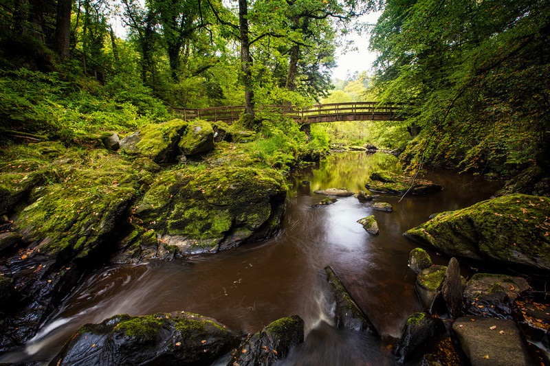
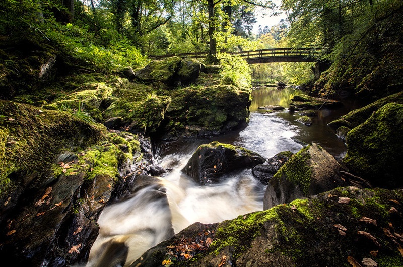
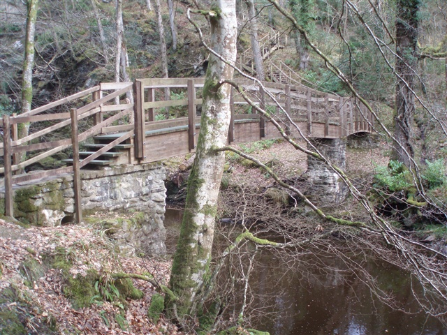
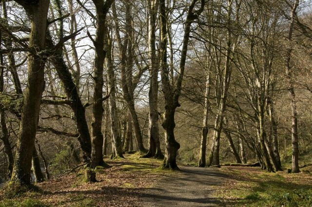
This steep wooded glen is a remnant of extensive natural oakwoods and comprises 20 ha, with riverside/woodland paths including wooden steps & footbridges, habitat of many different species of wildlife and birdlife. The site is also an ASSI and is NIEA owned and managed. Recent development work in the park now means the walk extends along both sides of the Burntollet River joining Ness and Ervey Woods. It also includes an area of level meadow, providing easy-access walking for less able visitors. The Park has wildlife ponds, picnic tables, wildflower meadows and a new Visitor Centre where you can view an exhibition on woodland biodiversity.
Ervey Wood
A large section of the wood is also an ASSI extending for over 1km on the northern side of the flanks and floor of the Burntollet Glen, with the Burntollet River running adjacent to its southern boundary. A pleasant walk in all seasons with some steep inclines, although best in spring. It is also owned and managed by NIEA.
Recent development work in the park now means the the walk extends along both sides of the Burntollet River joining Ness and Ervey Woods
Burntollet Wood
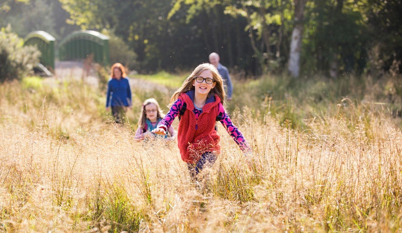
Burntollet Wood sits adjacent to Ness Country Park. The wood is still in its infancy and is an Area of Special Scientific Interest containing fragments of rare ancient woodland. The Woodland Trust has planted over 43,000 native trees at Burntollet, mostly oak with scatterings of ash, alder and wild cherry. The young trees will buffer the nearby pockets of ancient woodland, slowly linking habitats together and providing an extended haunt for the Valley’s precious wildlife. In summertime, visitors will be treated to 11 hectares (27 acres) of gloriously coloured wild flowers. Vibrant displays of yellow rattle, birdsfoot trefoil, red campion, and ox-eye daisy await you. The flowers, interspersed with clover, barley and oats, provide a valuable habitat for numerous species of insects and birds.
TRAIL INFORMATION
TRAIL INFORMATION
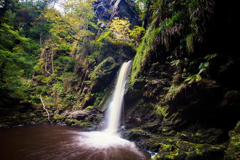
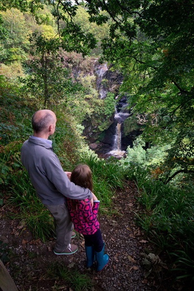
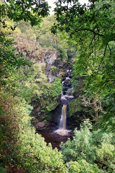
Follow the path from the car park at the visitors centre down to the right, past an area of recently created ponds and across Hone's Bridge. Follow the path along the north side of the Burntollet River ignoring the bridge to the right (this leads to a path that is currently closed due to subsidence), until you reach the second bridge. Cross the bridge and ascend the steps . The path will then lead you past Ness waterfall across Shanes Bridge. Continue on the path into the woodland, passing the viewing point for the waterfall. Follow this path downhill until you turn right onto a path leading uphill, this path leads above mature woodland and then reaches a turning point , taking a sharp left down a series of wooden steps towards the river turning right to rejoin the path to take you back to the visitors centre.
Take the path to the left from the visitors centre, crossing the River Burntollet at Browns Bridge. Follow the path for 1.5 km, turning right at the junction. This route loops up to Ervey Wood car park. Continue on through Ervey Wood car park to access Burntollet Wood. Follow the red waymarker arrows around Burntollet Wood, in a clockwise direction. You will pass by several viewpoints and information panels describing wildlife and wildflowers that can be found in the area. Pass through a kissing gate to bypass a private property, before re-entering the wood through another kissing gate. Continue to follow the path back to Ervey Wood Car Park.
To follow the route back to the visitors centre, cross the small area of grassland to the right of the car park and enter the wood through the wooden gate. This path will lead back to the visitors centre.
GETTING TO THE START
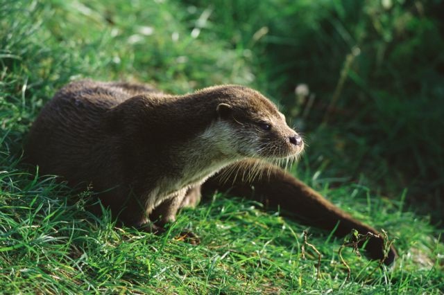
- Point of Interest Highest Waterfall in Northern Ireland, Red Squirrels
- Facilities Visitor Centre, Toilets, Car park, Picnic Site.Please see link below to Ness Country Park for opening times. The following facilities are available for users with limited mobility: – Visitors Centre – Disabled toilets – Disabled parking
- Dog Policy Dogs must be kept under control around Visitor Centre & car parks
- Accessibility Information
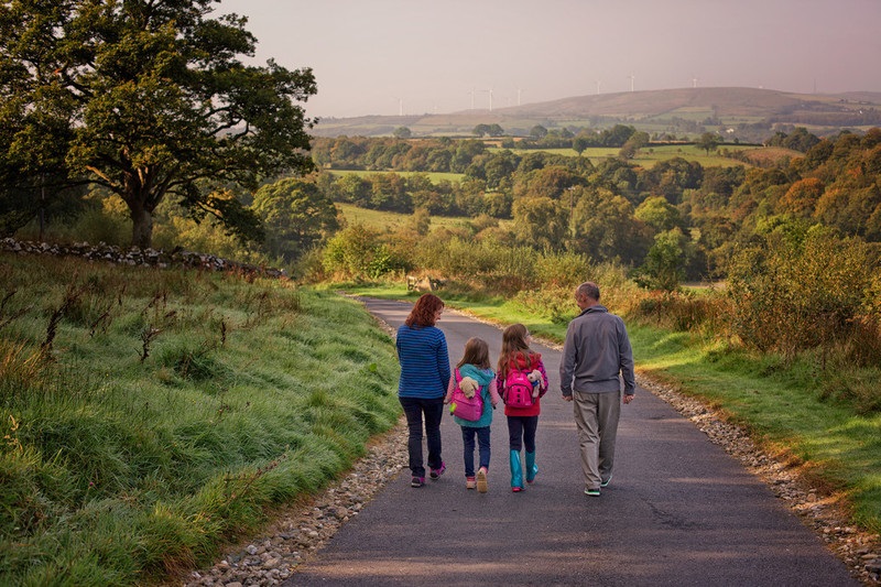
Accessibility Grade: Grade 4 Terrain: Woodland / Riverside Paths / Wooden boardwalks/steps. Toilet Facility: No Signage: No - Getting to the Start The walk starts 4.5 km NW of the village of Claudy and 13km SE of Derry City, well signposted from A6 via Oughtagh Rd.
- Public Transport Translink – journeyplanner.translink.co.uk