4.1 miles
Loop
Easy
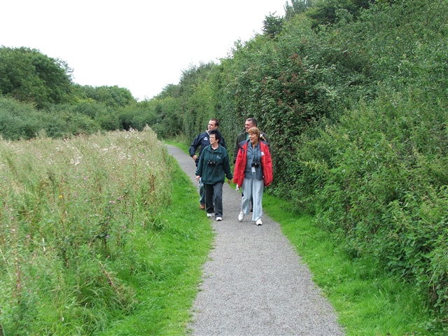
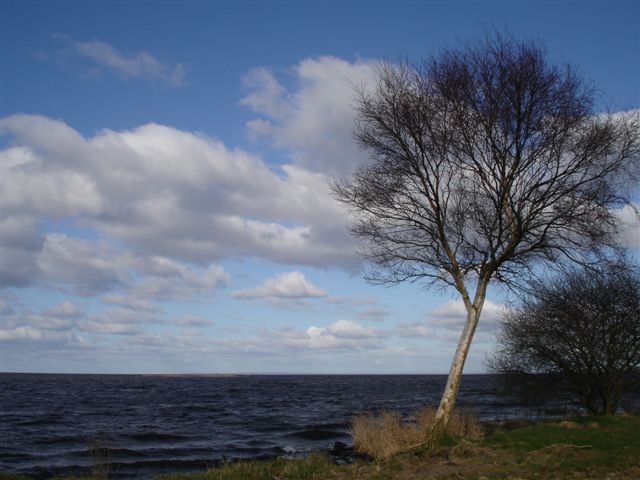
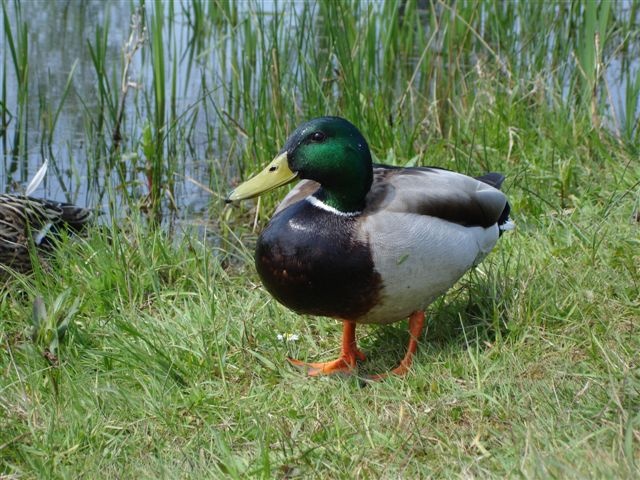
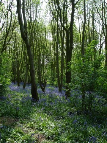
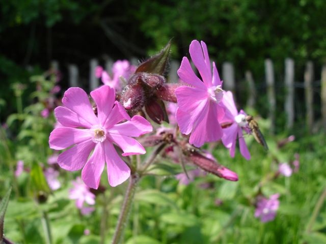
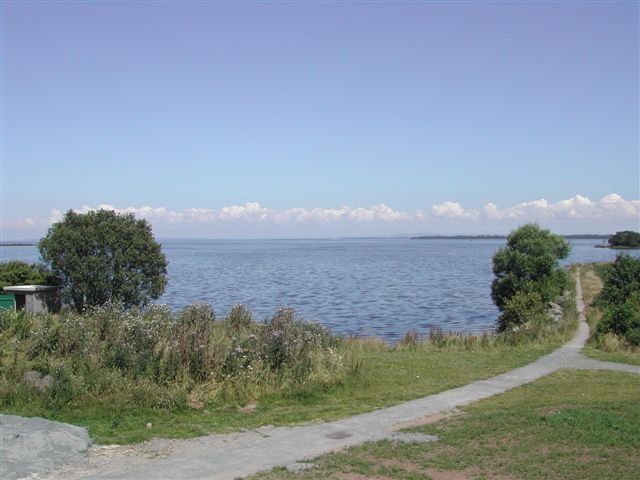
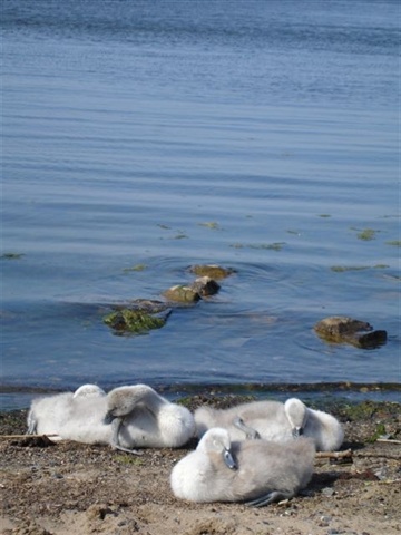
Oxford Island
This trail takes in the Oxford Island National Nature Reserve and is a haven for wildlife. Visitors can explore a range of habitats from woodlands to reedbeds. The trail also takes in Kinnego Marina, from here the visitor can enjoy a boat trip around the secluded bays and islands.
TRAIL INFORMATION
The walk begins at Lough Neagh Discovery Centre or Kinnego Marina and includes some steps.
TRAIL INFORMATION
The walk begins at Lough Neagh Discovery Centre or Kinnego Marina and includes some steps.
GETTING TO THE START
- Point of Interest Lough Neagh Discovery Centre and Kinnego Marina
- Facilities Toilets and refreshments are available in the Lough Neagh Discovery Centre and Kinnego Marina. Accomodation is available at Kinnego Caravan Park. The following facilities are available for users with limited mobility: – Café (wheelchair accessible) – Shop (wheelchair accessible) – Disabled toilets – Disabled parking
- Accessibility Information
Accessibility Grade: Grade 4 Terrain: 70% Traffic Free Paths Toilet Facility: No Signage: No - Getting to the Start By car - Take turn-off for Junction 10 on the M1 and follow signs to Oxford Island.
- Public Transport Translink – journeyplanner.translink.co.uk
- Level of Difficulty
 Easy TRAIL GRADE DISCLAIMER
 The trail grades shown on OutmoreNI.com and WalkNI.com are based on desk-based assessments of available trail information. The categories—Easy, Moderate, Strenuous, and Very Strenuous—follow the Sustainable Trails Development Guide grading system.
These grades are provided as a general guide to help users choose trails that may be suitable for them. They are not a substitute for official, on-site grading or safety information provided by the relevant land manager, which may differ from the information on these websites.
Outdoor activities involve inherent risks, including the risk of injury, death, property damage, and other hazards. By using information from OutmoreNI.com and WalkNI.com, you acknowledge that you do so at your own risk. OutmoreNI.com and WalkNI.com accept no responsibility or liability for any loss, injury, or damage arising from the use of this information.
Conditions on trails can change, and the actual environment may differ from what is described online. Users should always exercise their own judgment, take appropriate precautions, and remain responsible for their own safety and conduct at all times.
All information provided on OutmoreNI.com and WalkNI.com is intended as a guide only and should be used alongside your own experience, awareness, and careful decision-making.
Relatively flat or gently rolling trails with a mostly smooth surface. You might come across some obstacles like bridges, gates and steps.
Normal clothing and footwear can be worn.