2.5 miles
Loop
Easy
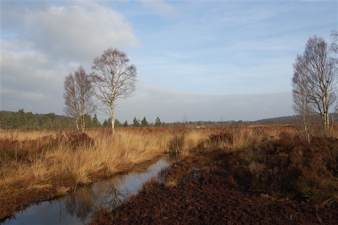
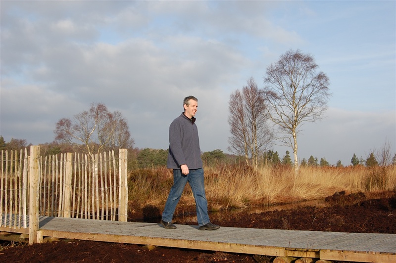
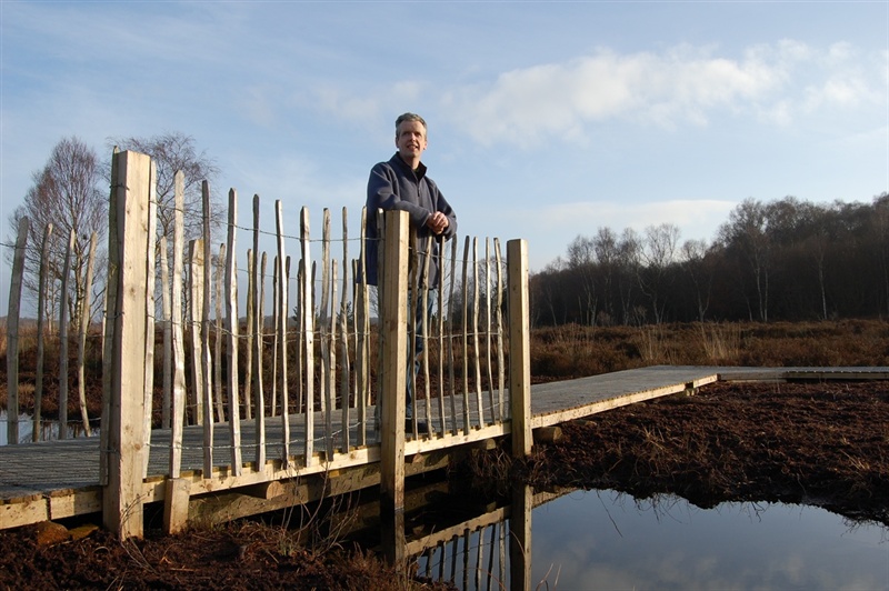
Peatlands Bog Walk
This bogland walk also takes in hazelwood glades and grassland.
TRAIL INFORMATION
For the 2.5 mile route, follow the path sign marked with purple arrows. There are another four walks within the park, sign marked with different coloured arrows and of various lengths.
This walk is also suitable for people with limited mobility, please see link below to Disabled Ramblers NI.
GETTING TO THE START
- Point of Interest Peatland landscape, open lake apple blossom in season
- Facilities Reception area, free car park, toilets, Education Centre and railway. The following facilities are available for users with limited mobility: – Café (wheelchair accessible) – Disabled toilets – Disabled parking – Mobility vehicle available – Hearing loop system – Visitors Centre
- Dog Policy Dogs must be kept under control at all times. Please clean up after your dog.
- Accessibility Information
Accessibility Grade: Grade 5 Terrain: Tarmac road and woodchip paths Toilet Facility: No Signage: No - Getting to the Start Take turn-off for Junction 13 on the M1 and follow the sign for Peatlands Park
- Public Transport Translink – journeyplanner.translink.co.uk
- Level of Difficulty
 Easy TRAIL GRADE DISCLAIMER
 The trail grades shown on OutmoreNI.com and WalkNI.com are based on desk-based assessments of available trail information. The categories—Easy, Moderate, Strenuous, and Very Strenuous—follow the Sustainable Trails Development Guide grading system.
These grades are provided as a general guide to help users choose trails that may be suitable for them. They are not a substitute for official, on-site grading or safety information provided by the relevant land manager, which may differ from the information on these websites.
Outdoor activities involve inherent risks, including the risk of injury, death, property damage, and other hazards. By using information from OutmoreNI.com and WalkNI.com, you acknowledge that you do so at your own risk. OutmoreNI.com and WalkNI.com accept no responsibility or liability for any loss, injury, or damage arising from the use of this information.
Conditions on trails can change, and the actual environment may differ from what is described online. Users should always exercise their own judgment, take appropriate precautions, and remain responsible for their own safety and conduct at all times.
All information provided on OutmoreNI.com and WalkNI.com is intended as a guide only and should be used alongside your own experience, awareness, and careful decision-making.
Relatively flat or gently rolling trails with a mostly smooth surface. You might come across some obstacles like bridges, gates and steps.
Normal clothing and footwear can be worn.