2.7 miles
Linear
Pilgrim's Path Sliabh Liag
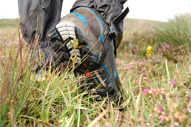
Cosán an Oilithrigh or Pilgrims Path at Sliabh Liag is a stunning 4km access route on to the plateau of Sliabh Liag. It follows the ancient path up a U-shape valley nestled between Leargadachtan Mountain and the sea cliffs at Shanbally, overlooking the small fishing village of Teelin. Up on top of Sliabh Liag is the early Christian monastic site of Aedh McBric's Church and Well. There are also the ruins of the monk’s stone dwellings (bee hive huts). This walk is a moderate walk with steep open cliffs.
TRAIL INFORMATION
The route is marked with yellow paint on rocks and posts from path to plateau.
TRAIL INFORMATION
The route is marked with yellow paint on rocks and posts from path to plateau.
GETTING TO THE START
The start point for this walk is the Walkers Car Park, Shanbally.
- Point of Interest Scenery, St. Bric’s Church & Well (ruins), Atlantic cliffs, OS Trig Point, Bird watching
- Facilities Limited services in Teelin, full services in Carrick, Bank services Killybegs
- Dog Policy Strictly on lead only
- Getting to the Start The start point for this walk is the Walkers Car Park, Shanbally.
- Public Transport Translink – journeyplanner.translink.co.uk