22.5 miles
Loop
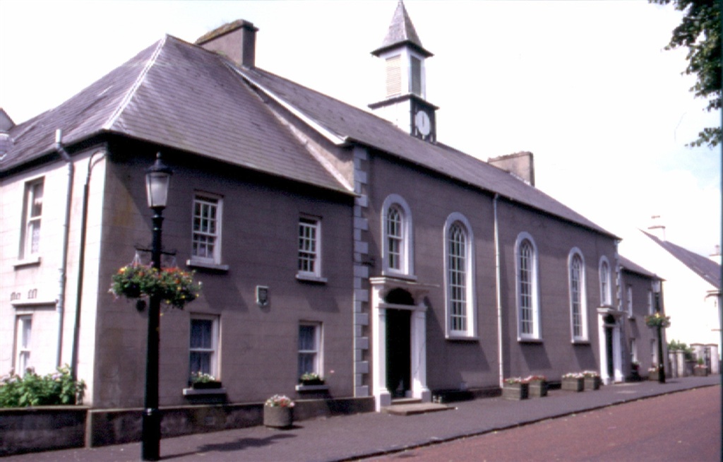
Portglenone
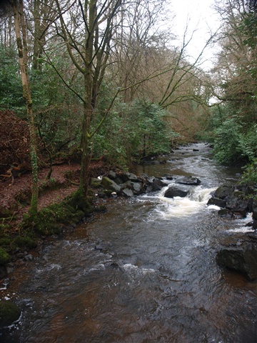
A tough but rewarding hilly route encompassing the villages of Portglenone, Cullybackey, Gracehill and Ahoghill. Recommended you ride in a clockwise direction commencing at Portglenone on the bank of the Lower Bann before ascending to take in the magnificent views over the Lower Bann valley and the rolling hills of the Sperrin Mountains. The route is not signed.
TRAIL INFORMATION
From Porglenone Marina turn Left (L) onto Gortgole Rd and head north to the T-junction with Tamlaght Rd (4miles) Turn Right (Rt) crossing Town Hill Rd to reach Lisnahunshin Road (1.5m). Turn right and head south for 1.3m and turn Left for Moboy Rd. Ascend Moboy Rd for 1.6m and cross the Duneoin Rd onto Granagh Road. A gentle downhill stretch for 2.5m before turning Left at Dreen Rd. Straight ahead passing through Cullybackey before turning Right at Fenaghy Road (1.1m). Staight ahead for 2.7m to the roundabout at Galgorm. Turn Right and follow the Galgorm Rd to Gracehill. Turn Right into Cennick Rd before taking a Rt onto the Tuppenny Rd. Turn Right at the T-juntion with Straid Road heading to Ahoghill.From Ahoghill Main Street turn Right at the Diamond and the immediately Left into Brook Street. Continue straight ahead for 3.3m to the crossroad at Garvaghy Rd (Mid way along this section the route links with NCN96) Turn Left and immediately Right and follow the Garvaghy Road to the juntion with Cullybackey Rd. Turn Left and take car on the steep hill approaching Portglenone. Continue along Main Street before turning Right at the Wild Duck Inn onto the Gortgole Rd and the start point.
GETTING TO THE START
Portglenone Marina. NCN 96 Buses available from Ballymena.
- Facilities Refeshments are available in all the villages.
- Getting to the Start Portglenone Marina. NCN 96 Buses available from Ballymena.
- Traffic Information Normally quiet with occasional slow-moving farm vehicles and commuter traffic
- Bike Hire Providers Belfast Activity Centre The Stableyard Barnett's Demesne Malone Road Belfast Email: info@belfastactivitycentre.com Phone: 028 9060 0132 http://www.belfastactivitycentre.com
- Accessible Facilities Route is graded as Tough with medium traffic.