1.6 miles
Linear
Portmuck
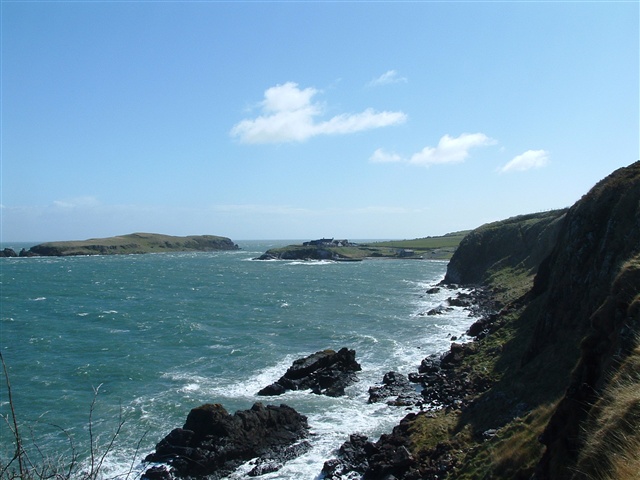
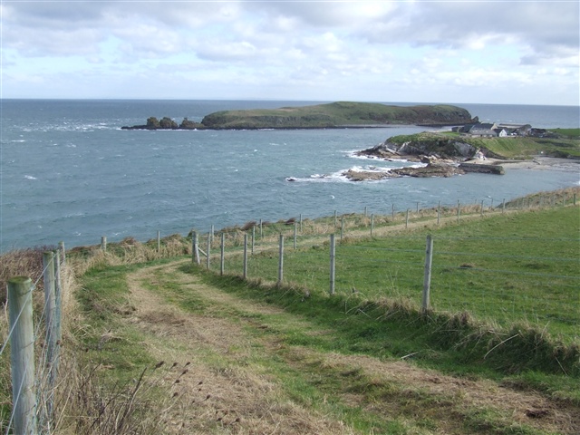
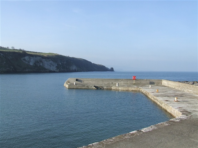
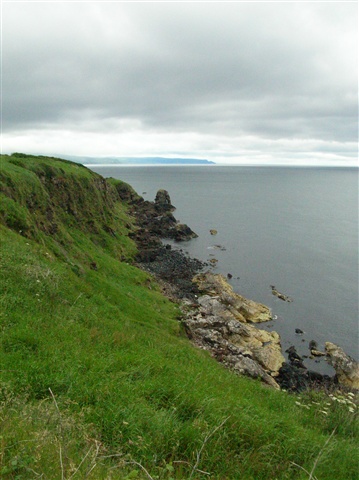
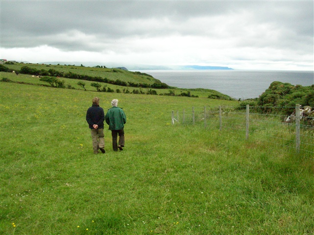
A hidden gem at the north eastern tip of Islandmagee, Portmuck is a stunning little harbour with fabulous views of the Antrim Coast. The National Trust owns and manages the coastline on either side of the harbour and have provided excellent trails for visitors to enjoy the scenery and dramatic views.
TRAIL INFORMATION
TRAIL INFORMATION
Two linear routes on either side of the harbour.
Northern route to the left of harbour:
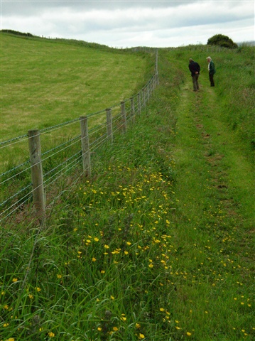
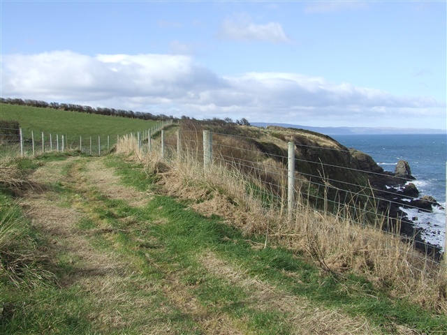
From the car park cross the picnic area and go through the wooden swing gate. Turn left and follow the path up the slope. Cross a step-over stile and continue across two open fields until you reach the boundary. Return by same route.
Southern route to the right of harbour:
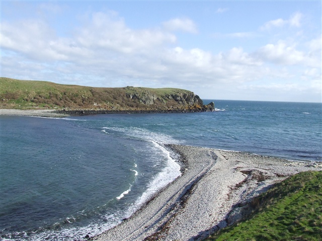
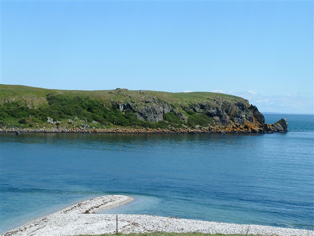
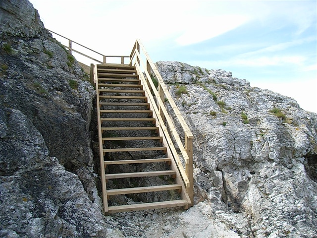
Climb the steps beside the harbour then follow the path and go down the steps to the rocky shore. Turn right and continue until you reach the tombolo over to the Isle of Muck. Follow the trail up the slope to the right. When the main grassy path is reached there re two options. 1. Turn left and walk about a half mile to the end of the path and then return or 2. Turn right and take the next trail on the left until the road is reached, then turn right and walk along the road until you return to the car park.
GETTING TO THE START
- Point of Interest Portmuck harbour. Tombola across to Isle of Muck. Geology
- Facilities Disabled parking spaces are available in the harbour car park. Harbour toilets are open seasonally see Larne Borough Council for opening times http://www.larne.gov.uk/template1.asp?pid=1052&area=3&text=1 The following facilities are available for users with limited mobility: – Disabled parking
- Accessibility Information
Accessibility Grade: Grade 4 Terrain: Grassy paths, rocky areas, steps Toilet Facility: No Signage: No - Getting to the Start Take A2 from Belfast to Larne, turn right onto the B90. Then go straight onto the B150. Follow signs to Portmuck. The 1km road down to the harbour is narrow, winding and very steep. There is a small car park at the end.
- Public Transport Translink – journeyplanner.translink.co.uk
